 Chiloquin
Union City
Allendale
Eugene
Connersville
Ashland
Sergeant Bluff
Morganton
Wilmette
El Dorado
Myrtle Beach
Harrisonville
Manhattan
Orland Park
Lee's Summit
Broken Arrow
Saint Joseph
Monett
Sheridan Airport
Chiloquin
Union City
Allendale
Eugene
Connersville
Ashland
Sergeant Bluff
Morganton
Wilmette
El Dorado
Myrtle Beach
Harrisonville
Manhattan
Orland Park
Lee's Summit
Broken Arrow
Saint Joseph
Monett
Sheridan Airport
Redwood City on the map, United States
Where is located Redwood City
Exact location — Redwood City, San Mateo County, California, United States, marked on the map with a red marker.
Coordinates
Redwood City, United States coordinates in decimal format: latitude — 37.4852152, longitude — -122.2363548. When converted to degrees, minutes, seconds Redwood City has the following coordinates: 37°29′6.77 north latitude and -122°14′10.88 east longitude.
Population
Redwood City, San Mateo County, California, United States, according to our data the population is — 71,969 residents, which is about 0% of the total population of the country (United States).
Comparison of the population on the graph:
Exact time
Time zone for this location Redwood City — UTC -7 America/Los_Angeles. Exact time — thursday, 4 april 2024 year, 23 h. 44 minutes.
Sunrise and sunset
Redwood City, sunrise and sunset data for a date — thursday 25.04.2024.
| Sunrise | Sunset | Day (duration) |
|---|---|---|
| 06:22 -1 minute | 19:50 +1 minute | 13 h. 30 minutes. +2 minutes |
You can control the scale of the map using the auxiliary tools to find out exactly where it is located Redwood City. When you change the scale of the map, the width of the ruler also changes (in kilometers and miles).
Nearby cities
The largest cities that are located nearby:
- Sunnyvale — 22 km
- Fremont — 23 km
- Hayward — 24 km
- Santa Clara — 29 km
- San Jose — 35 km
- Oakland — 35 km
- San Francisco — 36 km
- Berkeley — 43 km
- Richmond — 49 km
- Concord — 57 km
- Vallejo — 68 km
- Fairfield — 86 km
- Stockton — 98 km
- Salinas — 103 km
- Modesto — 110 km
- Santa Rosa — 113 km
- Sacramento — 137 km
- Roseville — 162 km
- Fresno — 233 km
Distance to neighboring capitals:
- Mexico City
 (Mexico) — 3007 km
 - Ottawa
 (Canada) — 3921 km
 - Belmopan
 (Belize) — 3965 km
 - Guatemala City
 (Guatemala) — 4028 km
 - Nuuk
 (Greenland) — 5390 km
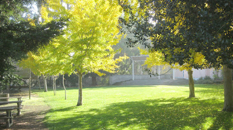
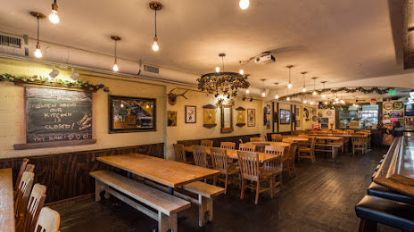
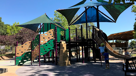
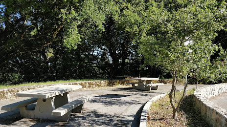
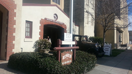
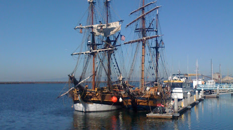
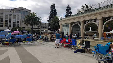
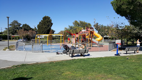
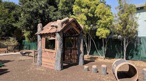
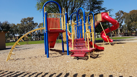
Attractions


Distance to the capital
Distance to the capital (Washington) is about — 3913 km.