 Denison
Newport
Klamath Falls
Linton
Mohave Valley
Mayville
Wisner
Tucker
Washington
Los Altos
Shelbyville
Carbondale
Terre Haute
Redwood City
Carlyle
Robinson
Temple
Newark
Warrington
Denison
Newport
Klamath Falls
Linton
Mohave Valley
Mayville
Wisner
Tucker
Washington
Los Altos
Shelbyville
Carbondale
Terre Haute
Redwood City
Carlyle
Robinson
Temple
Newark
Warrington
Eugene on the map, United States
Where is located Eugene
Exact location — Eugene, Lane County, Oregon, United States, marked on the map with a red marker.
Coordinates
Eugene, United States coordinates in decimal format: latitude — 44.0520691, longitude — -123.0867536. When converted to degrees, minutes, seconds Eugene has the following coordinates: 44°3′7.45 north latitude and -123°5′12.31 east longitude.
Population
Eugene, Lane County, Oregon, United States, according to our data the population is — 145,208 residents, which is about 0% of the total population of the country (United States).
Comparison of the population on the graph:
Exact time
Time zone for this location Eugene — UTC -7 America/Los_Angeles. Exact time — friday, 4 april 2024 year, 00 h. 28 minutes.
Sunrise and sunset
Eugene, sunrise and sunset data for a date — friday 26.04.2024.
| Sunrise | Sunset | Day (duration) |
|---|---|---|
| 06:13 -1 minute | 20:06 +1 minute | 13 h. 54 minutes. +2 minutes |
You can control the scale of the map using the auxiliary tools to find out exactly where it is located Eugene. When you change the scale of the map, the width of the ruler also changes (in kilometers and miles).
Nearby cities
The largest cities that are located nearby:
- Salem — 99 km
- Portland — 166 km
- Vancouver — 178 km
- Tacoma — 357 km
- Seattle — 397 km
- Bellevue — 399 km
- Victoria
 (Canada) — 484 km
 - Boise — 552 km
- Abbotsford (Canada) — 556 km
- Delta (Canada) — 558 km
- Richmond (Canada) — 565 km
- Surrey (Canada) — 568 km
- Reno — 573 km
- Burnaby (Canada) — 577 km
- Coquitlam (Canada) — 579 km
- Spokane — 580 km
- Anmore (Canada) — 582 km
- Roseville — 606 km
- Sacramento — 620 km
Distance to neighboring capitals:
- Mexico City
 (Mexico) — 3527 km
 - Ottawa (Canada) — 3693 km
- Belmopan
 (Belize) — 4379 km
 - Guatemala City
 (Guatemala) — 4493 km
 - Nuuk
 (Greenland) — 4833 km
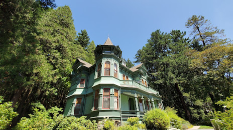
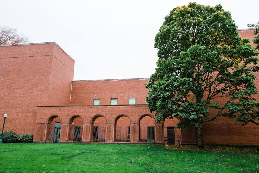
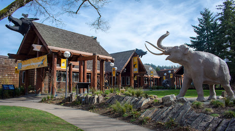
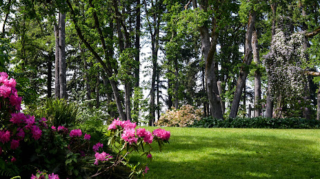
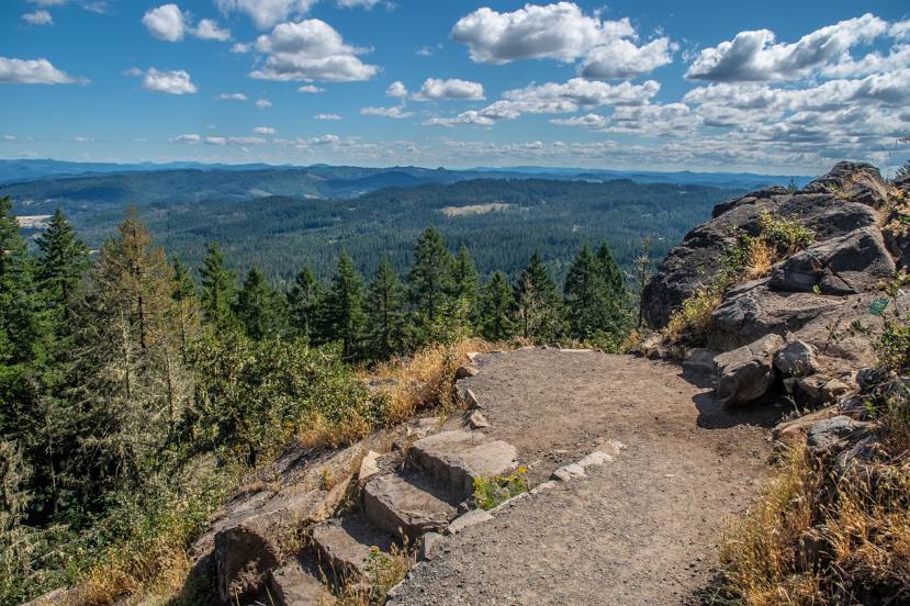
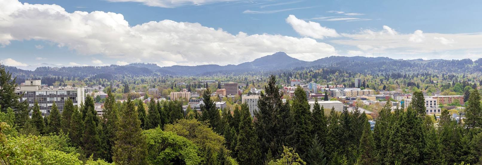
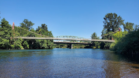
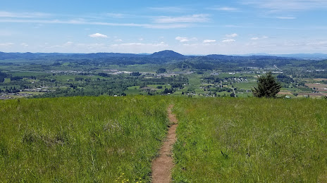
Attractions


Distance to the capital
Distance to the capital (Washington) is about — 3829 km.