 Philadelphia
Bessemer
Meridian
Pelham
Decatur
Corvallis
Hazelwood
East Peoria
Livingston
Sergeant Bluff
Ashland
Connersville
Eugene
Allendale
Union City
Chiloquin
Millbrae
North Haven
San Carlos
Philadelphia
Bessemer
Meridian
Pelham
Decatur
Corvallis
Hazelwood
East Peoria
Livingston
Sergeant Bluff
Ashland
Connersville
Eugene
Allendale
Union City
Chiloquin
Millbrae
North Haven
San Carlos
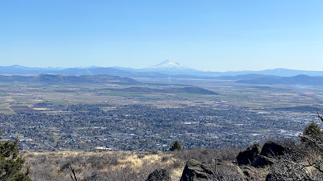
Klamath Falls on the map, United States
Where is located Klamath Falls
Exact location — Klamath Falls, Klamath County, Oregon, United States, marked on the map with a red marker.
Coordinates
Klamath Falls, United States coordinates in decimal format: latitude — 42.224867, longitude — -121.7816704. When converted to degrees, minutes, seconds Klamath Falls has the following coordinates: 42°13′29.52 north latitude and -121°46′54.01 east longitude.
Population
Klamath Falls, Klamath County, Oregon, United States, according to our data the population is — 19,203 residents, which is about 0% of the total population of the country (United States).
Comparison of the population on the graph:
Exact time
Time zone for this location Klamath Falls — UTC -7 America/Los_Angeles. Exact time — friday, 4 april 2024 year, 11 h. 32 minutes.
Sunrise and sunset
Klamath Falls, sunrise and sunset data for a date — friday 26.04.2024.
| Sunrise | Sunset | Day (duration) |
|---|---|---|
| 06:11 -1 minute | 19:58 +1 minute | 13 h. 48 minutes. +2 minutes |
You can control the scale of the map using the auxiliary tools to find out exactly where it is located Klamath Falls. When you change the scale of the map, the width of the ruler also changes (in kilometers and miles).
Nearby cities
The largest cities that are located nearby:
- Eugene — 227 km
- Salem — 316 km
- Reno — 342 km
- Portland — 371 km
- Vancouver — 384 km
- Roseville — 386 km
- Sacramento — 404 km
- Santa Rosa — 426 km
- Fairfield — 440 km
- Vallejo — 457 km
- Concord — 470 km
- Boise — 472 km
- Stockton — 474 km
- Richmond — 479 km
- Berkeley — 483 km
- Oakland — 491 km
- San Francisco — 495 km
- Hayward — 504 km
- Modesto — 512 km
Distance to neighboring capitals:
- Mexico City
 (Mexico) — 3311 km
 - Ottawa
 (Canada) — 3664 km
 - Belmopan
 (Belize) — 4182 km
 - Guatemala City
 (Guatemala) — 4287 km
 - Nuuk
 (Greenland) — 4933 km
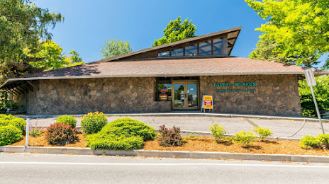
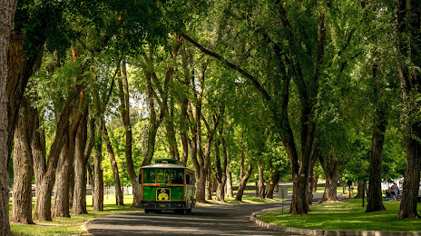
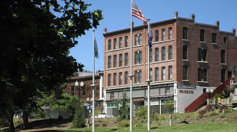
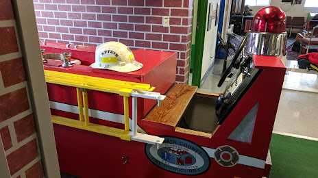
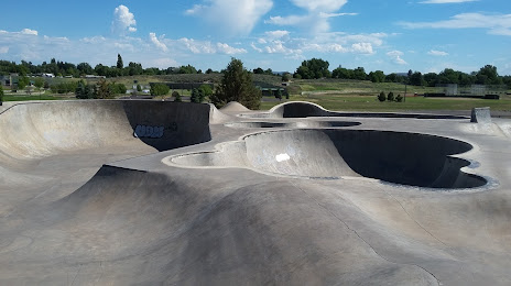
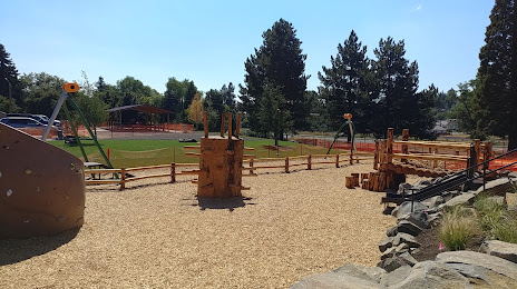
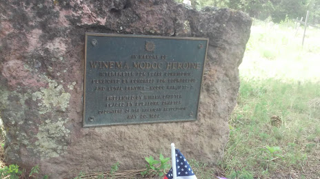
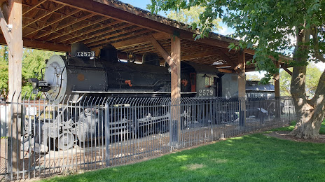
Attractions


Distance to the capital
Distance to the capital (Washington) is about — 3755 km.