 Sioux City
Council Bluffs
Southaven
Louisville
Bloomington
Hartland
Denison
Newport
Klamath Falls
Robinson
Temple
Newark
Warrington
Palo Alto
Dublin
Fremont
Burlingame
Boonville
El Dorado
Sioux City
Council Bluffs
Southaven
Louisville
Bloomington
Hartland
Denison
Newport
Klamath Falls
Robinson
Temple
Newark
Warrington
Palo Alto
Dublin
Fremont
Burlingame
Boonville
El Dorado
San Carlos on the map, United States
Where is located San Carlos
Exact location — San Carlos, San Mateo County, California, United States, marked on the map with a red marker.
Coordinates
San Carlos, United States coordinates in decimal format: latitude — 37.5071591, longitude — -122.2605222. When converted to degrees, minutes, seconds San Carlos has the following coordinates: 37°30′25.77 north latitude and -122°15′37.88 east longitude.
Population
San Carlos, San Mateo County, California, United States, according to our data the population is — 26,630 residents, which is about 0% of the total population of the country (United States).
Comparison of the population on the graph:
Exact time
Time zone for this location San Carlos — UTC -7 America/Los_Angeles. Exact time — friday, 4 april 2024 year, 17 h. 12 minutes.
Sunrise and sunset
San Carlos, sunrise and sunset data for a date — friday 26.04.2024.
| Sunrise | Sunset | Day (duration) |
|---|---|---|
| 06:21 -1 minute | 19:51 +1 minute | 13 h. 30 minutes. +2 minutes |
You can control the scale of the map using the auxiliary tools to find out exactly where it is located San Carlos. When you change the scale of the map, the width of the ruler also changes (in kilometers and miles).
Nearby cities
The largest cities that are located nearby:
- Hayward — 24 km
- Fremont — 24 km
- Sunnyvale — 25 km
- Santa Clara — 32 km
- San Francisco — 33 km
- Oakland — 33 km
- San Jose — 38 km
- Berkeley — 40 km
- Richmond — 46 km
- Concord — 56 km
- Vallejo — 66 km
- Fairfield — 84 km
- Stockton — 98 km
- Salinas — 106 km
- Santa Rosa — 110 km
- Modesto — 112 km
- Sacramento — 136 km
- Roseville — 161 km
- Fresno — 236 km
Distance to neighboring capitals:
- Mexico City
 (Mexico) — 3010 km
 - Ottawa
 (Canada) — 3922 km
 - Belmopan
 (Belize) — 3968 km
 - Guatemala City
 (Guatemala) — 4031 km
 - Nuuk
 (Greenland) — 5389 km
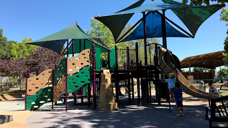
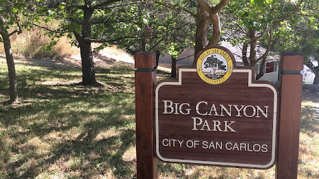
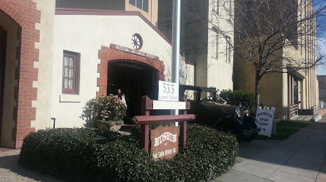
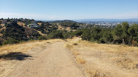
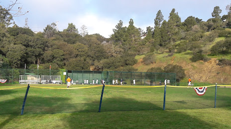
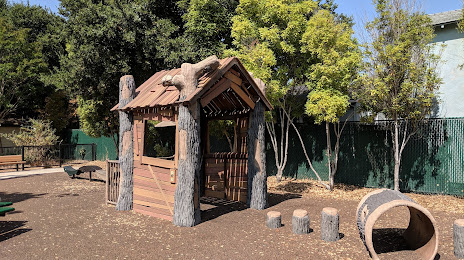
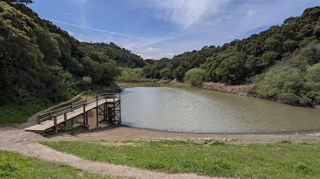
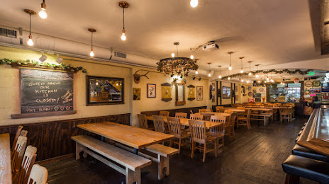
Attractions


Distance to the capital
Distance to the capital (Washington) is about — 3915 km.