 Mayville
Wisner
Tucker
Washington
Choudrant
Demopolis
Huntsville
Buffalo Grove
Andalusia
San Carlos
Sterlington
New Haven
Baileys Harbor
De Pere
Los Altos
Shelbyville
Carbondale
Terre Haute
Redwood City
Mayville
Wisner
Tucker
Washington
Choudrant
Demopolis
Huntsville
Buffalo Grove
Andalusia
San Carlos
Sterlington
New Haven
Baileys Harbor
De Pere
Los Altos
Shelbyville
Carbondale
Terre Haute
Redwood City
Wilmette on the map, United States
Where is located Wilmette
Exact location — Wilmette, Cook County, Illinois, United States, marked on the map with a red marker.
Coordinates
Wilmette, United States coordinates in decimal format: latitude — 42.0722513, longitude — -87.7228384. When converted to degrees, minutes, seconds Wilmette has the following coordinates: 42°4′20.1 north latitude and -87°43′22.22 east longitude.
Population
Wilmette, Cook County, Illinois, United States, according to our data the population is — 26,871 residents, which is about 0% of the total population of the country (United States).
Comparison of the population on the graph:
Exact time
Time zone for this location Wilmette — UTC -5 America/Chicago. Exact time — friday, 4 april 2024 year, 05 h. 06 minutes.
Sunrise and sunset
Wilmette, sunrise and sunset data for a date — friday 26.04.2024.
| Sunrise | Sunset | Day (duration) |
|---|---|---|
| 05:55 -2 minutes | 19:41 +1 minute | 13 h. 48 minutes. +3 minutes |
You can control the scale of the map using the auxiliary tools to find out exactly where it is located Wilmette. When you change the scale of the map, the width of the ruler also changes (in kilometers and miles).
Nearby cities
The largest cities that are located nearby:
- Chicago — 23 km
- Naperville — 50 km
- Aurora — 60 km
- Joliet — 67 km
- Milwaukee — 108 km
- Rockford — 114 km
- South Bend — 129 km
- Madison — 175 km
- Grand Rapids — 193 km
- Peoria — 218 km
- Fort Wayne — 242 km
- Lansing — 267 km
- Green Bay — 272 km
- Indianapolis — 287 km
- Ann Arbor — 326 km
- Flint — 342 km
- Toledo — 347 km
- Detroit — 383 km
- Windsor
 (Canada) — 384 km
Distance to neighboring capitals:
- Ottawa (Canada) — 1034 km
- Mexico City
 (Mexico) — 2738 km
 - Belmopan
 (Belize) — 2763 km
 - Guatemala City
 (Guatemala) — 3066 km
 - Nuuk
 (Greenland) — 3352 km
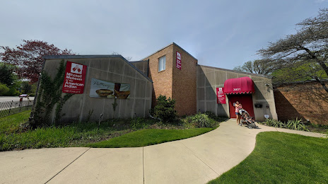
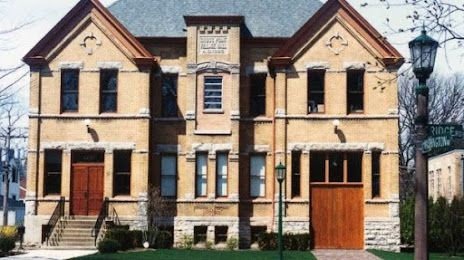
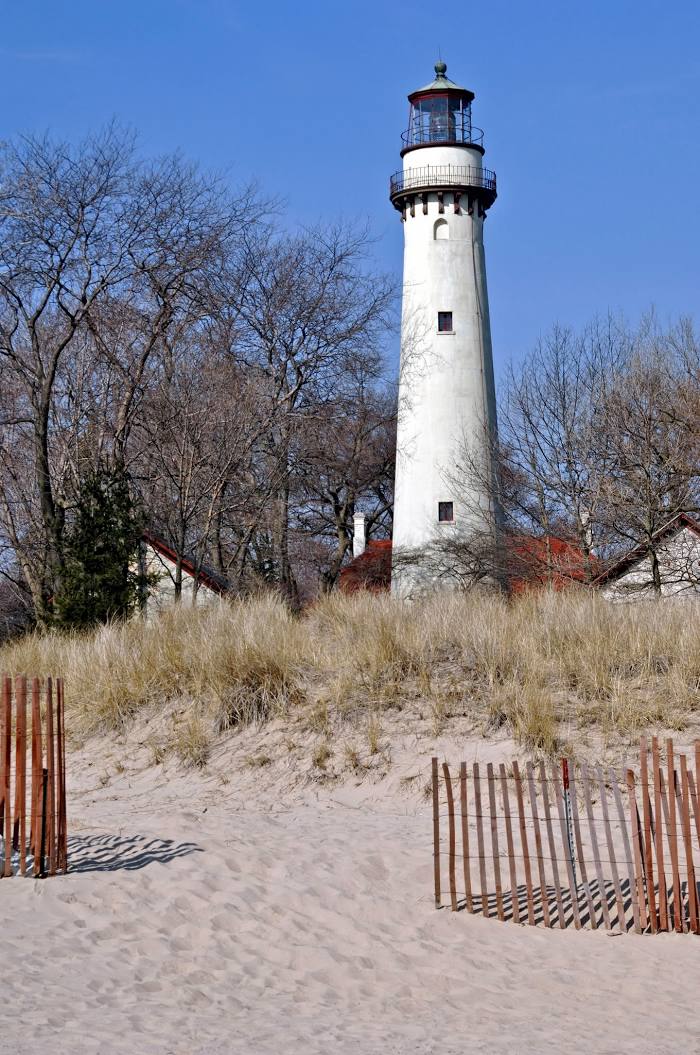
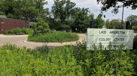
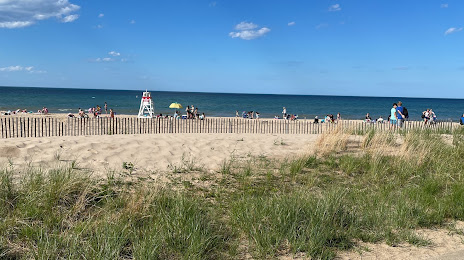
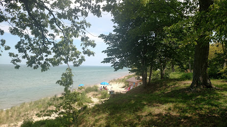
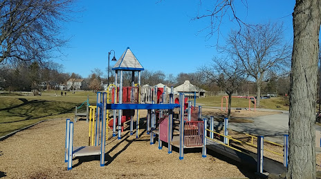
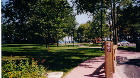
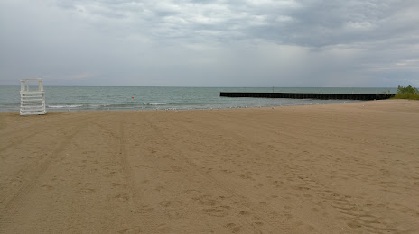
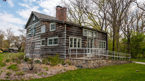
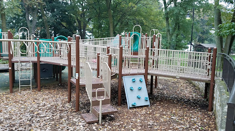
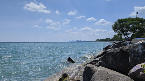
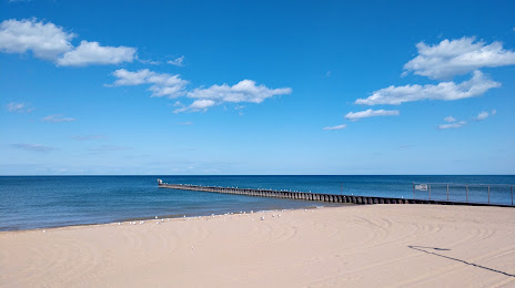
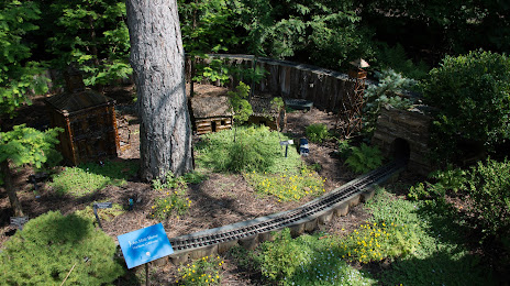
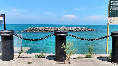
Attractions


Distance to the capital
Distance to the capital (Washington) is about — 969 km.