 Butler
Gilchrist
Vancouver
Thomasville
Macon
Dexter
Mount Vernon
Bluffton
Dripping Springs
Demopolis
Choudrant
Washington
Tucker
Wisner
Mayville
Mohave Valley
Linton
Klamath Falls
Newport
Butler
Gilchrist
Vancouver
Thomasville
Macon
Dexter
Mount Vernon
Bluffton
Dripping Springs
Demopolis
Choudrant
Washington
Tucker
Wisner
Mayville
Mohave Valley
Linton
Klamath Falls
Newport
East Peoria on the map, United States
Where is located East Peoria
Exact location — East Peoria, Tazewell County, Illinois, United States, marked on the map with a red marker.
Coordinates
East Peoria, United States coordinates in decimal format: latitude — 40.666149, longitude — -89.5800978. When converted to degrees, minutes, seconds East Peoria has the following coordinates: 40°39′58.14 north latitude and -89°34′48.35 east longitude.
Population
East Peoria, Tazewell County, Illinois, United States, according to our data the population is — 22,352 residents, which is about 0% of the total population of the country (United States).
Comparison of the population on the graph:
Exact time
Time zone for this location East Peoria — UTC -5 America/Chicago. Exact time — friday, 4 april 2024 year, 15 h. 01 minute.
Sunrise and sunset
East Peoria, sunrise and sunset data for a date — friday 26.04.2024.
| Sunrise | Sunset | Day (duration) |
|---|---|---|
| 06:05 -1 minute | 19:46 +1 minute | 13 h. 42 minutes. +2 minutes |
You can control the scale of the map using the auxiliary tools to find out exactly where it is located East Peoria. When you change the scale of the map, the width of the ruler also changes (in kilometers and miles).
Nearby cities
The largest cities that are located nearby:
- Peoria — 3 km
- Joliet — 156 km
- Aurora — 160 km
- Naperville — 168 km
- Rockford — 182 km
- Chicago — 209 km
- Saint Louis — 232 km
- Madison — 267 km
- Milwaukee — 295 km
- South Bend — 297 km
- Indianapolis — 307 km
- Evansville — 346 km
- Des Moines — 349 km
- Fort Wayne — 373 km
- Grand Rapids — 406 km
- Louisville — 426 km
- Green Bay — 443 km
- Independence — 450 km
- North Kansas City — 460 km
Distance to neighboring capitals:
- Ottawa
 (Canada) — 1244 km
 - Mexico City
 (Mexico) — 2531 km
 - Belmopan
 (Belize) — 2606 km
 - Guatemala City
 (Guatemala) — 2899 km
 - Nuuk
 (Greenland) — 3566 km
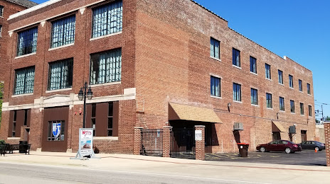
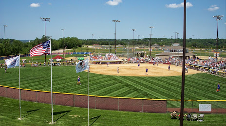
Attractions


Distance to the capital
Distance to the capital (Washington) is about — 1089 km.