 Temple
Robinson
Carlyle
Redwood City
Terre Haute
Carbondale
Shelbyville
Los Altos
De Pere
Powhattan
North Highlands
Lawrence
Higginsville
Kansas City
Shawnee
Hollister
Kearney
Raymore
Topeka
Temple
Robinson
Carlyle
Redwood City
Terre Haute
Carbondale
Shelbyville
Los Altos
De Pere
Powhattan
North Highlands
Lawrence
Higginsville
Kansas City
Shawnee
Hollister
Kearney
Raymore
Topeka
Orland Park on the map, United States
Where is located Orland Park
Exact location — Orland Park, Cook County, Illinois, United States, marked on the map with a red marker.
Coordinates
Orland Park, United States coordinates in decimal format: latitude — 41.6303103, longitude — -87.8539425. When converted to degrees, minutes, seconds Orland Park has the following coordinates: 41°37′49.12 north latitude and -87°51′14.19 east longitude.
Population
Orland Park, Cook County, Illinois, United States, according to our data the population is — 55,741 residents, which is about 0% of the total population of the country (United States).
Comparison of the population on the graph:
Exact time
Time zone for this location Orland Park — UTC -5 America/Chicago. Exact time — friday, 4 april 2024 year, 13 h. 55 minutes.
Sunrise and sunset
Orland Park, sunrise and sunset data for a date — friday 26.04.2024.
| Sunrise | Sunset | Day (duration) |
|---|---|---|
| 05:56 -2 minutes | 19:41 +1 minute | 13 h. 48 minutes. +3 minutes |
You can control the scale of the map using the auxiliary tools to find out exactly where it is located Orland Park. When you change the scale of the map, the width of the ruler also changes (in kilometers and miles).
Nearby cities
The largest cities that are located nearby:
- Joliet — 22 km
- Naperville — 28 km
- Chicago — 33 km
- Aurora — 41 km
- Rockford — 124 km
- South Bend — 132 km
- Milwaukee — 156 km
- Peoria — 179 km
- Madison — 203 km
- Grand Rapids — 230 km
- Fort Wayne — 234 km
- Indianapolis — 251 km
- Lansing — 294 km
- Green Bay — 320 km
- Ann Arbor — 344 km
- Toledo — 355 km
- Flint — 370 km
- Saint Louis — 389 km
- Springfield — 391 km
Distance to neighboring capitals:
- Ottawa
 (Canada) — 1066 km
 - Mexico City
 (Mexico) — 2689 km
 - Belmopan
 (Belize) — 2713 km
 - Guatemala City
 (Guatemala) — 3016 km
 - Nuuk
 (Greenland) — 3400 km
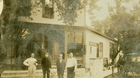
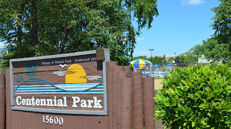
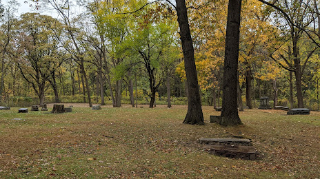
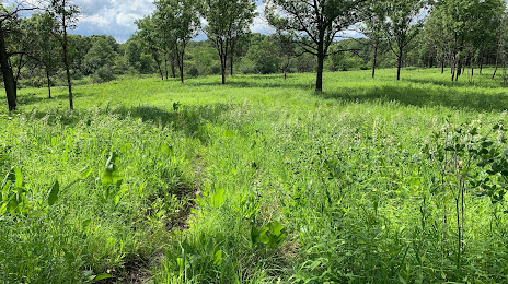
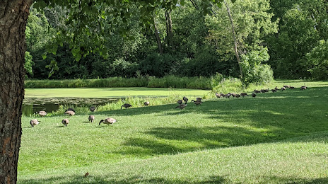
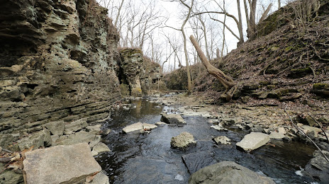
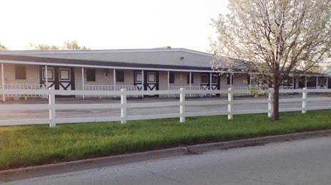
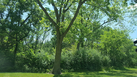
Attractions


Distance to the capital
Distance to the capital (Washington) is about — 966 km.