 Mohave Valley
Mayville
Wisner
Tucker
Washington
Choudrant
Demopolis
Huntsville
Buffalo Grove
Sterlington
New Haven
Baileys Harbor
De Pere
Los Altos
Shelbyville
Carbondale
Terre Haute
Redwood City
Carlyle
Mohave Valley
Mayville
Wisner
Tucker
Washington
Choudrant
Demopolis
Huntsville
Buffalo Grove
Sterlington
New Haven
Baileys Harbor
De Pere
Los Altos
Shelbyville
Carbondale
Terre Haute
Redwood City
Carlyle
Morganton on the map, United States
Where is located Morganton
Exact location — Morganton, Burke County, North Carolina, United States, marked on the map with a red marker.
Coordinates
Morganton, United States coordinates in decimal format: latitude — 35.7454071, longitude — -81.6848188. When converted to degrees, minutes, seconds Morganton has the following coordinates: 35°44′43.47 north latitude and -81°41′5.35 east longitude.
Population
Morganton, Burke County, North Carolina, United States, according to our data the population is — 17,191 residents, which is about 0% of the total population of the country (United States).
Comparison of the population on the graph:
Exact time
Time zone for this location Morganton — UTC -4 America/New_York. Exact time — friday, 4 april 2024 year, 19 h. 54 minutes.
Sunrise and sunset
Morganton, sunrise and sunset data for a date — friday 26.04.2024.
| Sunrise | Sunset | Day (duration) |
|---|---|---|
| 06:42 -1 minute | 20:06 +1 minute | 13 h. 24 minutes. +2 minutes |
You can control the scale of the map using the auxiliary tools to find out exactly where it is located Morganton. When you change the scale of the map, the width of the ruler also changes (in kilometers and miles).
Nearby cities
The largest cities that are located nearby:
- Charlotte — 95 km
- Winston-Salem — 135 km
- Greensboro — 173 km
- Knoxville — 202 km
- Columbia — 202 km
- Durham — 251 km
- Cary — 260 km
- Fayetteville — 265 km
- Raleigh — 273 km
- Atlanta — 332 km
- Chattanooga — 337 km
- Charleston — 367 km
- Savannah — 409 km
- Richmond — 422 km
- Cincinnati — 443 km
- Louisville — 449 km
- Nashville — 457 km
- Huntsville — 459 km
- Columbus — 479 km
Distance to neighboring capitals:
- Ottawa
 (Canada) — 1188 km
 - Belmopan
 (Belize) — 2173 km
 - Mexico City
 (Mexico) — 2492 km
 - Guatemala City
 (Guatemala) — 2511 km
 - Nuuk
 (Greenland) — 3745 km
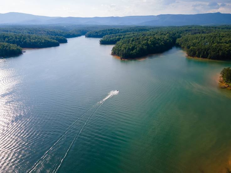
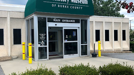
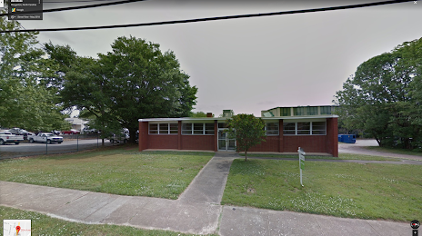
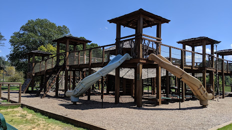
Attractions


Distance to the capital
Distance to the capital (Washington) is about — 541 km.