Sterling Heights — Wisconsin
Sterling Heights — Cass City
Sterling Heights — Arthur
Sterling Heights — French Lick
Sterling Heights — Weskan
Sterling Heights — San Francisco
Sterling Heights — Grand Junction
Sterling Heights — Akron
Sterling Heights — Hennepin County
Sterling Heights — Morse Mill
Sterling Heights — Texico
Sterling Heights — Augusta
Sterling Heights — Lowville
Sterling Heights — Dissen
Sterling Heights — Canfield
Sterling Heights — Lowndes County
Sterling Heights — Avella
Sterling Heights — Santa Ysabel
Sterling Heights — Ama
Hazel Park
Windsor
Sterling Heights — Wisconsin
Sterling Heights — Cass City
Sterling Heights — Arthur
Sterling Heights — French Lick
Sterling Heights — Weskan
Sterling Heights — San Francisco
Sterling Heights — Grand Junction
Sterling Heights — Akron
Sterling Heights — Hennepin County
Sterling Heights — Morse Mill
Sterling Heights — Texico
Sterling Heights — Augusta
Sterling Heights — Lowville
Sterling Heights — Dissen
Sterling Heights — Canfield
Sterling Heights — Lowndes County
Sterling Heights — Avella
Sterling Heights — Santa Ysabel
Sterling Heights — Ama
Hazel Park
Windsor  River Rouge
Melvindale
Allen Park
Woodhaven
Brownstown Charter Township
South Rockwood
Monroe
Luna Pier
Toledo
Rossford
Perrysburg
Haskins
Bowling Green
Rudolph
Jerry City
North Baltimore
Findlay
Findlay Airport
Rawson
Mount Cory
Lima
Wapakoneta
Botkins
Sidney
Piqua
Tipp City
Dayton International Airport
Dayton
Huber Heights
Dayton
West Carrollton
Miamisburg
Springboro
Middletown
Mason
Blue Ash
Amberley
Norwood
Saint Bernard
Covington
Park Hills
Fort Mitchell
Erlanger
Florence
Walton
Crittenden
Dry Ridge
Williamstown
River Rouge
Melvindale
Allen Park
Woodhaven
Brownstown Charter Township
South Rockwood
Monroe
Luna Pier
Toledo
Rossford
Perrysburg
Haskins
Bowling Green
Rudolph
Jerry City
North Baltimore
Findlay
Findlay Airport
Rawson
Mount Cory
Lima
Wapakoneta
Botkins
Sidney
Piqua
Tipp City
Dayton International Airport
Dayton
Huber Heights
Dayton
West Carrollton
Miamisburg
Springboro
Middletown
Mason
Blue Ash
Amberley
Norwood
Saint Bernard
Covington
Park Hills
Fort Mitchell
Erlanger
Florence
Walton
Crittenden
Dry Ridge
Williamstown
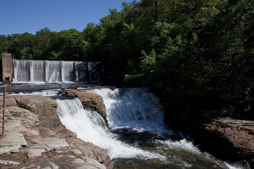
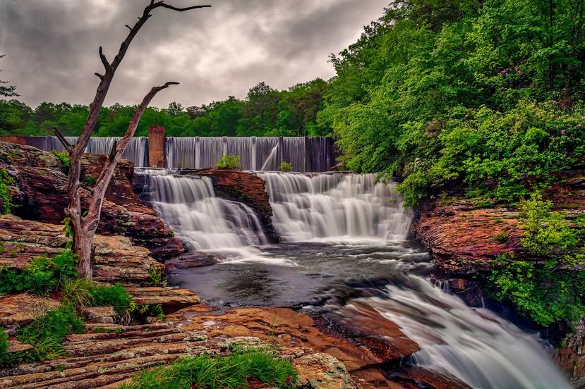
Sterling Heights — Fort Payne distance, route on the map
Distance by car
Distance between Sterling Heights, Michigan, United States and Fort Payne, Alabama, United States by car is — km, or miles. To travel this distance by car, you need minute, or h.
Route on the map, driving directions
Car route Sterling Heights — Fort Payne was created automatically. The road on the map is shown as a blue line. By moving the markers, you can create a new route through the points you need.
Passing cities through which the car route passes: Madison Heights, Hazel Park, Windsor (ca), River Rouge, Melvindale, Allen Park, Woodhaven, Brownstown Charter Township, South Rockwood, Monroe, Luna Pier, Toledo, Rossford, Perrysburg, Haskins, Bowling Green, Rudolph, Jerry City, North Baltimore, Findlay, Findlay Airport, Rawson, Mount Cory, Lima, Wapakoneta, Botkins, Sidney, Piqua, Tipp City, Dayton International Airport, Dayton, Huber Heights, Dayton, West Carrollton, Miamisburg, Springboro, Middletown, Mason, Blue Ash, Amberley, Norwood, Saint Bernard, Covington, Park Hills, Fort Mitchell, Erlanger, Florence, Walton, Crittenden, Dry Ridge, Williamstown.
Distance by plane
If you decide to take a trip Sterling Heights Fort Payne by plane, then you have to fly the distance — 935 km or 580 miles. It is marked on the map with a gray line (between two points in a straight line).
Flight time
Estimated flight time Sterling Heights Fort Payne by plane at cruising speed 750 km / h will be — 1 h. and 14 min.
Direction of movement
United States, Sterling Heights — right-hand traffic. United States, Fort Payne — right-hand traffic.
Difference in time
Sterling Heights and Fort Payne are in different time zones. The time difference is 1 hour (UTC -4 America/New_York, UTC -5 America/Chicago).
Interesting Facts
Information on alternative ways to get to your destination.
The length of this distance is about 2.3% of the total length of the equator.
The percentage of the population is clearly shown in the graph:
Sterling Heights — 126,657, Fort Payne — 13,586 residents (less by 113,071).
The cost of travel
Calculate the cost of the trip yourself using the fuel consumption calculator, changing the data in the table.
Calculate the cost of other distances from the starting point — Sterling Heights.