Minot — New Roads
Minot — King of Prussia
Minot — Acosta
Minot — East Sparta
Minot — Willoughby
Minot — Maxton
Minot — Chillicothe
Minot — Yosemite Valley
Minot — Gold River
Minot — Pinehill
Minot — Muskegon
Minot — Berwind
Minot — Vermilion
Minot — Cutchogue
Minot — Kirksville
Minot — Louisville
Minot — Box Elder County
Minot — Torrington
Minot — Montgomery
White Earth
Tioga
Ray
Williston
Glendive
Terry Airport
Miles City
Hathaway
Hysham
Lockwood
Billings
Reed Point
Greycliff
Big Timber
Livingston
Bozeman
Big Sky
West Yellowstone
Ashton
Teton
Sugar City
Rexburg
Rigby
Ucon
Minot — New Roads
Minot — King of Prussia
Minot — Acosta
Minot — East Sparta
Minot — Willoughby
Minot — Maxton
Minot — Chillicothe
Minot — Yosemite Valley
Minot — Gold River
Minot — Pinehill
Minot — Muskegon
Minot — Berwind
Minot — Vermilion
Minot — Cutchogue
Minot — Kirksville
Minot — Louisville
Minot — Box Elder County
Minot — Torrington
Minot — Montgomery
White Earth
Tioga
Ray
Williston
Glendive
Terry Airport
Miles City
Hathaway
Hysham
Lockwood
Billings
Reed Point
Greycliff
Big Timber
Livingston
Bozeman
Big Sky
West Yellowstone
Ashton
Teton
Sugar City
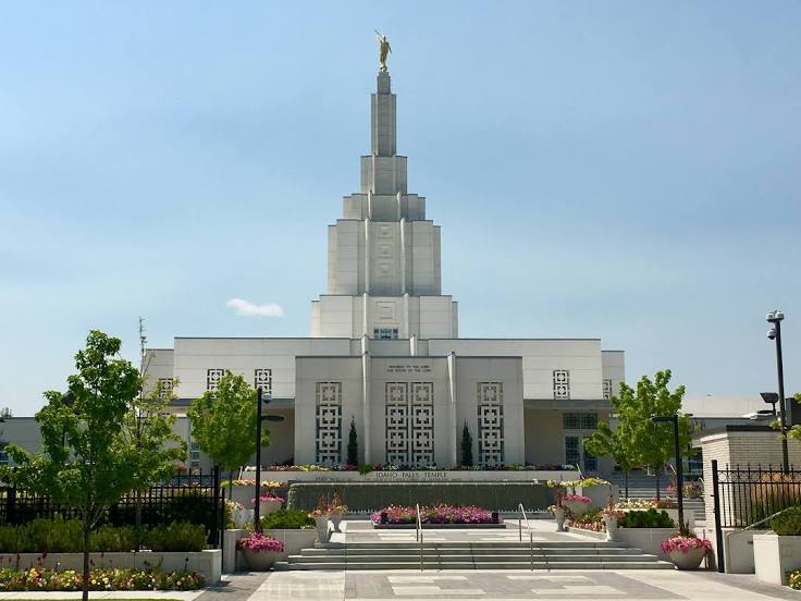
Rexburg
Rigby
Ucon
Minot — Idaho Falls distance, route on the map
Distance by car
Distance between Minot, North Dakota, United States and Idaho Falls, Idaho, United States by car is — km, or miles. To travel this distance by car, you need minute, or h.
Route on the map, driving directions
Car route Minot — Idaho Falls was created automatically. The road on the map is shown as a blue line. By moving the markers, you can create a new route through the points you need.
Passing cities through which the car route passes: Ross, White Earth, Tioga, Ray, Williston, Glendive, Terry Airport, Miles City, Hathaway, Hysham, Lockwood, Billings, Reed Point, Greycliff, Big Timber, Livingston, Bozeman, Big Sky, West Yellowstone, Ashton, Teton, Sugar City, Rexburg, Rigby, Ucon.
Distance by plane
If you decide to take a trip Minot Idaho Falls by plane, then you have to fly the distance — 984 km or 610 miles. It is marked on the map with a gray line (between two points in a straight line).
Flight time
Estimated flight time Minot Idaho Falls by plane at cruising speed 750 km / h will be — 1 h. and 18 min.
Direction of movement
United States, Minot — right-hand traffic. United States, Idaho Falls — right-hand traffic.
Difference in time
Minot and Idaho Falls are in different time zones. The time difference is 1 hour (UTC -5 America/Chicago, UTC -6 America/Denver).
Interesting Facts
Information on alternative ways to get to your destination.
The length of this distance is about 2.5% of the total length of the equator.
The percentage of the population is clearly shown in the graph:
Minot — 34,885 (less by 17,290), Idaho Falls — 52,175 residents.
The cost of travel
Calculate the cost of the trip yourself using the fuel consumption calculator, changing the data in the table.