Anaheim — Laurie
Anaheim — Vienna
Anaheim — Williamsport
Anaheim — Miramar
Anaheim — Kewa Pueblo
Anaheim — Middleport
Anaheim — Ben Wheeler
Anaheim — Hawaiian Gardens
Anaheim — Bingham Canyon
Anaheim — Shermans Dale
Anaheim — Montgomery-Gibbs Executive Airport
Anaheim — Limon
Anaheim — Poynor
Anaheim — Hartwell
Anaheim — Delavan
Anaheim — Northumberland
Anaheim — Compton
Anaheim — Leaf River
Anaheim — Smithton
Santa Ana
Tustin
Orange County
Irvine
Lake Forest
Laguna Woods
Laguna Hills
Mission Viejo
Mission Viejo
San Juan Capistrano
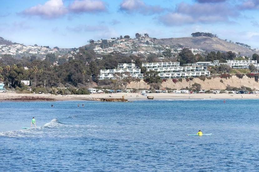
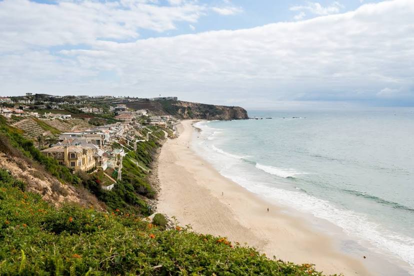
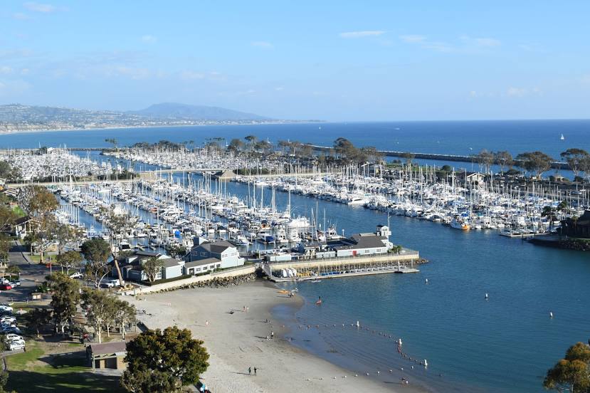
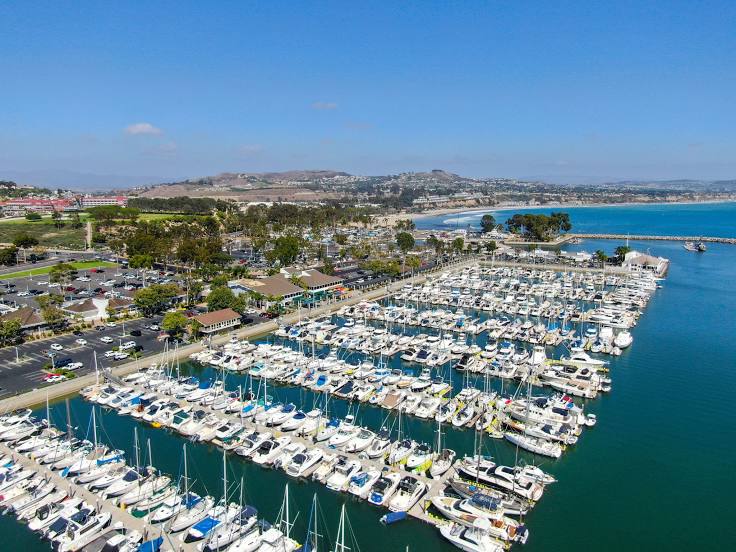
Anaheim — Dana Point distance, route on the map
Distance by car
Distance between Anaheim, California, United States and Dana Point, California, United States by car is — km, or miles. To travel this distance by car, you need minute, or h.
Route on the map, driving directions
Car route Anaheim — Dana Point was created automatically. The road on the map is shown as a blue line. By moving the markers, you can create a new route through the points you need.
Passing cities through which the car route passes: Orange, Santa Ana, Tustin, Orange County, Irvine, Lake Forest, Laguna Woods, Laguna Hills, Mission Viejo, Mission Viejo, San Juan Capistrano.
Distance by plane
If you decide to take a trip Anaheim Dana Point by plane, then you have to fly the distance — 46 km or 29 miles. It is marked on the map with a gray line (between two points in a straight line).
Flight time
Estimated flight time Anaheim Dana Point by plane at cruising speed 750 km / h will be — 3 min.
Direction of movement
United States, Anaheim — right-hand traffic. United States, Dana Point — right-hand traffic.
Difference in time
Anaheim and Dana Point are in the same time zone. Between them there is no time difference (UTC -7 America/Los_Angeles).
Interesting Facts
Information on alternative ways to get to your destination.
The length of this distance is about 0.1% of the total length of the equator.
The percentage of the population is clearly shown in the graph:
Anaheim — 333,689, Dana Point — 35,870 residents (less by 297,819).
The cost of travel
Calculate the cost of the trip yourself using the fuel consumption calculator, changing the data in the table.
Calculate the cost of other distances from the starting point — Anaheim.