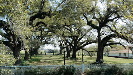
Goodlettsville — Matheny
Goodlettsville — Cisne
Goodlettsville — Scotland
Goodlettsville — Fultonham
Goodlettsville — Beaver Bay
Goodlettsville — Texola
Goodlettsville — Burns
Goodlettsville — Earp
Goodlettsville — Horton
Goodlettsville — East Jewett
Goodlettsville — Lookout
Goodlettsville — Springfield
Goodlettsville — Edgar
Goodlettsville — Paradox
Goodlettsville — Fort Wayne
Goodlettsville — Canova
Goodlettsville — Birney
Goodlettsville — Warsaw
Goodlettsville — Connerville
Kingston Springs
Burns
Dickson
Sugar Tree
Wildersville
Braden
Gallaway
Memphis
Memphis
West Memphis
Heth
St. Francis County
Forrest City
Palestine
Goodwin
Wheatley
Brinkley
Hazen
Lonoke
Sherwood
North Little Rock
Little Rock
Bill and Hillary Clinton National Airport
Landmark
Ain
Ivan
Fordyce
Harrell
Calion
El Dorado
Lillie
Bernice
Dubach
Ruston
Dodson
Hudson
Winnfield
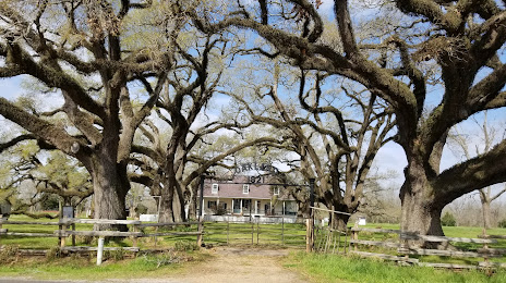
Goodlettsville — Natchitoches distance, route on the map
Distance by car
Distance between Goodlettsville, Tennessee, United States and Natchitoches, Louisiana, United States by car is — km, or miles. To travel this distance by car, you need minute, or h.
Route on the map, driving directions
Car route Goodlettsville — Natchitoches was created automatically. The road on the map is shown as a blue line. By moving the markers, you can create a new route through the points you need.
Passing cities through which the car route passes: Nashville, Kingston Springs, Burns, Dickson, Sugar Tree, Wildersville, Braden, Gallaway, Memphis, Memphis, West Memphis, Heth, St. Francis County, Forrest City, Palestine, Goodwin, Wheatley, Brinkley, Hazen, Lonoke, Sherwood, North Little Rock, Little Rock, Bill and Hillary Clinton National Airport, Landmark, Ain, Ivan, Fordyce, Harrell, Calion, El Dorado, Lillie, Bernice, Dubach, Ruston, Dodson, Hudson, Winnfield.
Distance by plane
If you decide to take a trip Goodlettsville Natchitoches by plane, then you have to fly the distance — 776 km or 481 miles. It is marked on the map with a gray line (between two points in a straight line).
Flight time
Estimated flight time Goodlettsville Natchitoches by plane at cruising speed 750 km / h will be — 1 h. and 2 min.
Direction of movement
United States, Goodlettsville — right-hand traffic. United States, Natchitoches — right-hand traffic.
Difference in time
Goodlettsville and Natchitoches are in the same time zone. Between them there is no time difference (UTC -5 America/Chicago).
Interesting Facts
Information on alternative ways to get to your destination.
The length of this distance is about 1.9% of the total length of the equator.
The percentage of the population is clearly shown in the graph:
Goodlettsville — 14,516 (less by 4,082), Natchitoches — 18,598 residents.
The cost of travel
Calculate the cost of the trip yourself using the fuel consumption calculator, changing the data in the table.