 Mount Holly
Mooresville
Conover
Laurinburg
Kingsport
Littleton
Johnson City
Sterling Forest
Loves Park
La Vergne
Madisonville
Fort Valley
Elizabethton
Columbia
Mayfield Airport
Mount Pleasant
Reno
Deer Lodge
Palm Beach Gardens
Mount Holly
Mooresville
Conover
Laurinburg
Kingsport
Littleton
Johnson City
Sterling Forest
Loves Park
La Vergne
Madisonville
Fort Valley
Elizabethton
Columbia
Mayfield Airport
Mount Pleasant
Reno
Deer Lodge
Palm Beach Gardens
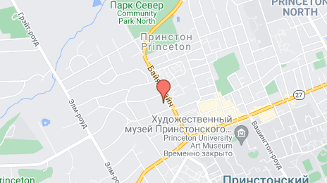
Princeton on the map, United States
Where is located Princeton
Exact location — Princeton, Mercer County, New Jersey, United States, marked on the map with a red marker.
Coordinates
Princeton, United States coordinates in decimal format: latitude — 40.3572976, longitude — -74.6672226. When converted to degrees, minutes, seconds Princeton has the following coordinates: 40°21′26.27 north latitude and -74°40′2 east longitude.
Population
Princeton, Mercer County, New Jersey, United States, according to our data the population is — 12,945 residents, which is about 0% of the total population of the country (United States).
Comparison of the population on the graph:
Exact time
Time zone for this location Princeton — UTC -4 America/New_York. Exact time — friday, 4 april 2024 year, 19 h. 19 minutes.
Sunrise and sunset
Princeton, sunrise and sunset data for a date — friday 26.04.2024.
| Sunrise | Sunset | Day (duration) |
|---|---|---|
| 06:06 -1 minute | 19:46 +1 minute | 13 h. 42 minutes. +2 minutes |
You can control the scale of the map using the auxiliary tools to find out exactly where it is located Princeton. When you change the scale of the map, the width of the ruler also changes (in kilometers and miles).
Nearby cities
The largest cities that are located nearby:
- Edison — 28 km
- Elizabeth — 51 km
- Newark — 59 km
- Toms River — 60 km
- Philadelphia — 62 km
- Brooklyn — 68 km
- New York — 68 km
- Paterson — 74 km
- Allentown — 74 km
- Yonkers — 90 km
- Stamford — 122 km
- Bridgeport — 153 km
- New Haven — 179 km
- Waterbury — 188 km
- Baltimore — 204 km
- Hartford — 226 km
- Springfield — 257 km
- Alexandria — 267 km
- Amherst — 282 km
Distance to neighboring capitals:
- Ottawa
 (Canada) — 569 km
 - Belmopan
 (Belize) — 2905 km
 - Nuuk
 (Greenland) — 3037 km
 - Guatemala City
 (Guatemala) — 3251 km
 - Mexico City
 (Mexico) — 3292 km
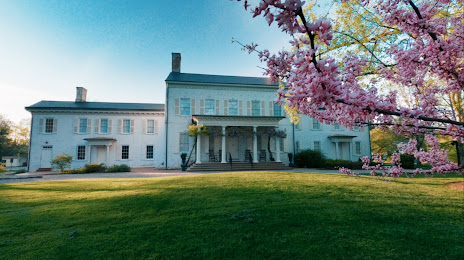
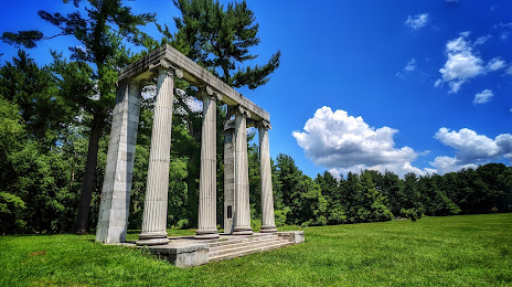
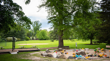
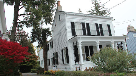
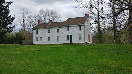
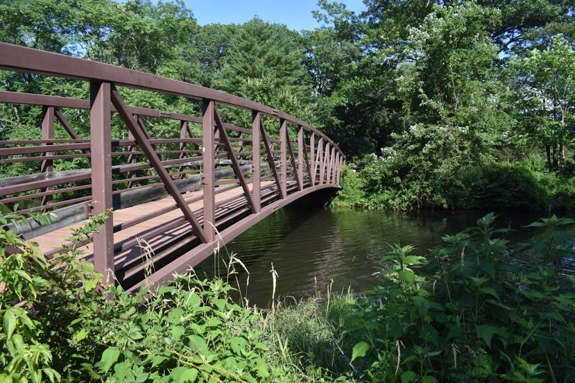
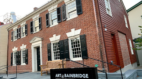
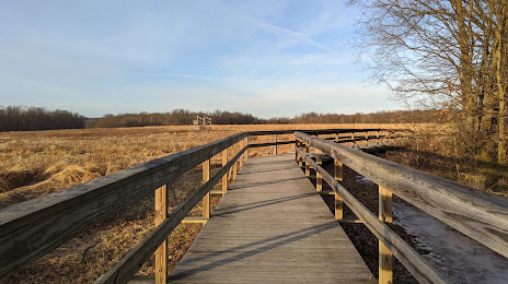
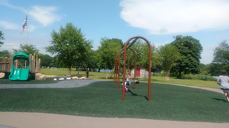
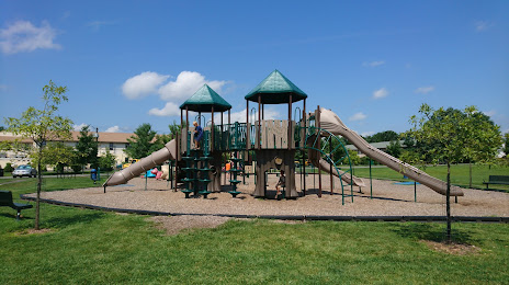
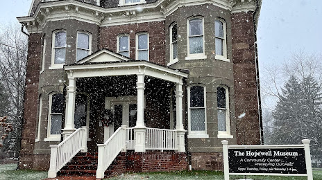
Attractions


Distance to the capital
Distance to the capital (Washington) is about — 259 km.