 Stow
Humble
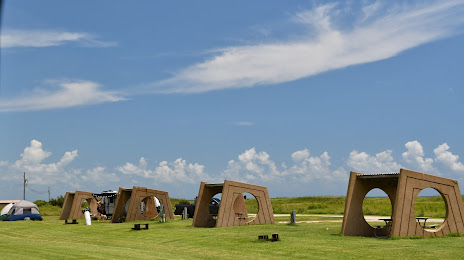
Texas City
Oakland
Xenia
Beckley
Canal Winchester
Lock Haven
Piketon
New Iberia
Ridgeland
Pensacola
Victoria
Niceville
Willamina
Laurel County
Encinal
Kalamazoo
Harvey
Stow
Humble
Texas City
Oakland
Xenia
Beckley
Canal Winchester
Lock Haven
Piketon
New Iberia
Ridgeland
Pensacola
Victoria
Niceville
Willamina
Laurel County
Encinal
Kalamazoo
Harvey
Galveston on the map, United States
Where is located Galveston
Exact location — Galveston, Galveston County, Texas, United States, marked on the map with a red marker.
Coordinates
Galveston, United States coordinates in decimal format: latitude — 29.3013479, longitude — -94.7976958. When converted to degrees, minutes, seconds Galveston has the following coordinates: 29°18′4.85 north latitude and -94°47′51.7 east longitude.
Population
Galveston, Galveston County, Texas, United States, according to our data the population is — 56,420 residents, which is about 0% of the total population of the country (United States).
Comparison of the population on the graph:
Exact time
Time zone for this location Galveston — UTC -5 America/Chicago. Exact time — friday, 4 april 2024 year, 02 h. 16 minutes.
Sunrise and sunset
Galveston, sunrise and sunset data for a date — friday 26.04.2024.
| Sunrise | Sunset | Day (duration) |
|---|---|---|
| 06:43 -1 minute | 19:49 -0 minutes | 13 h. 6 minutes. +1 minute |
You can control the scale of the map using the auxiliary tools to find out exactly where it is located Galveston. When you change the scale of the map, the width of the ruler also changes (in kilometers and miles).
Nearby cities
The largest cities that are located nearby:
- Houston — 75 km
- Beaumont — 107 km
- Lafayette — 284 km
- Austin — 301 km
- Corpus Christi — 304 km
- Waco — 333 km
- Killeen — 342 km
- San Antonio — 356 km
- Shreveport — 370 km
- Baton Rouge — 371 km
- Mesquite — 418 km
- Dallas — 427 km
- Grand Prairie — 432 km
- Garland — 434 km
- Arlington — 436 km
- Irving — 437 km
- Richardson — 441 km
- Plano — 447 km
- Fort Worth — 449 km
Distance to neighboring capitals:
- Mexico City
 (Mexico) — 1182 km
 - Belmopan
 (Belize) — 1474 km
 - Guatemala City
 (Guatemala) — 1691 km
 - Ottawa
 (Canada) — 2450 km
 - Nuuk
 (Greenland) — 4905 km
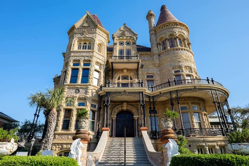
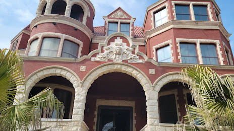
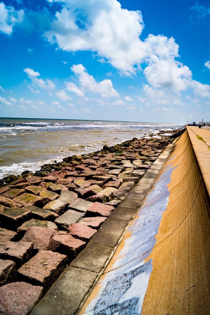
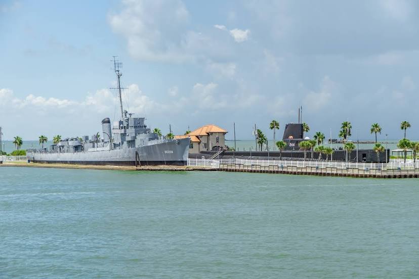
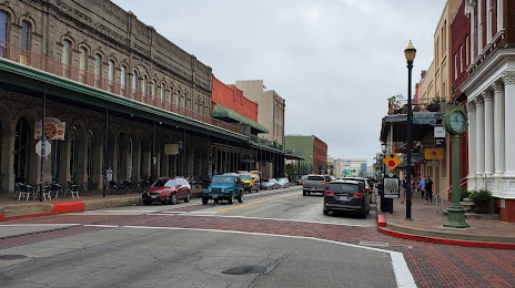
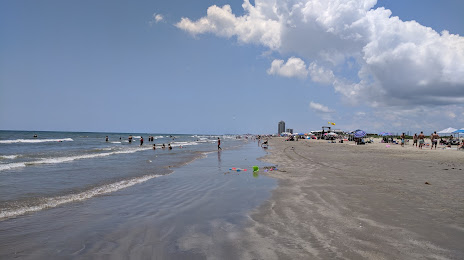
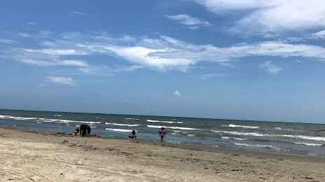
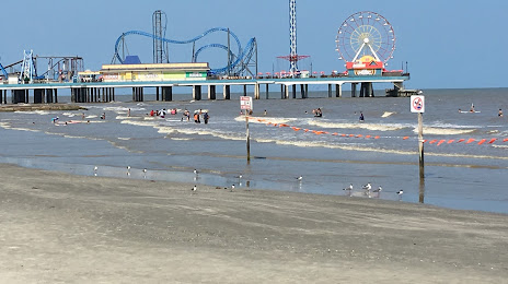
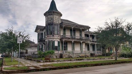
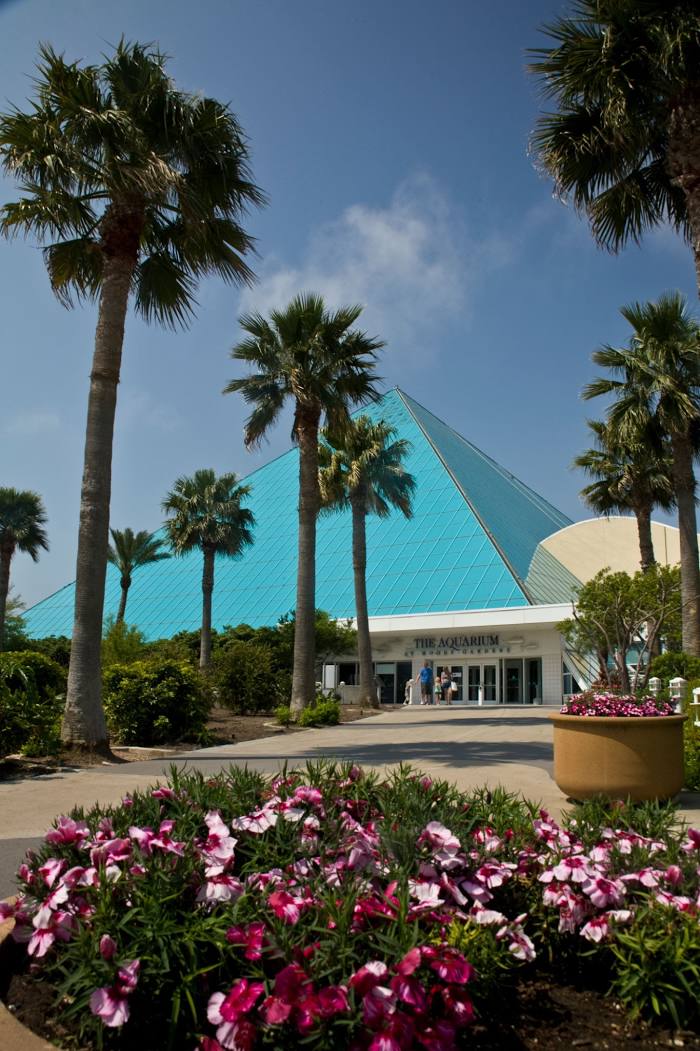
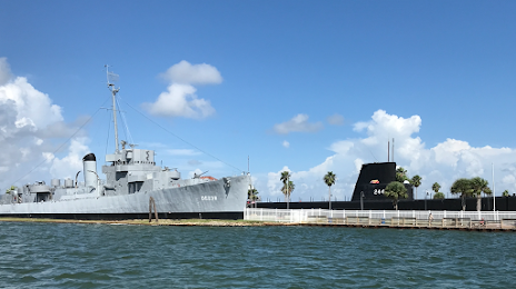
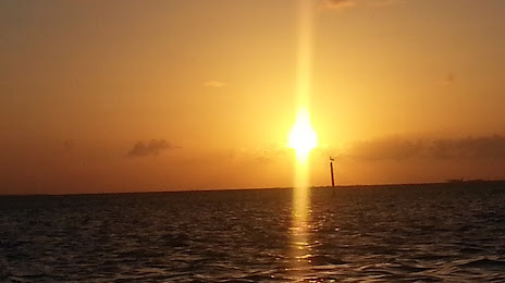
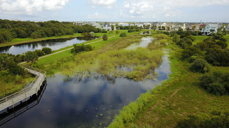
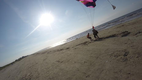
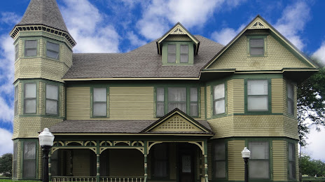
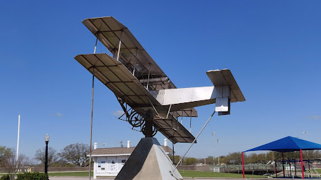
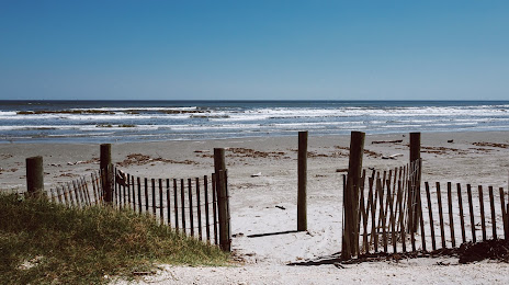
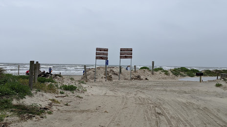
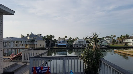
Attractions


Distance to the capital
Distance to the capital (Washington) is about — 1948 km.