 Missoula
Sylvania Airport
Lincoln
Shelbyville
Spokane
Trumbull
Stratford
Danbury
Guilford
Honey Brook
Winchester
Doylestown
Earlysville
Rockford
Concordville
Dinuba
Glen Mills
Conway
Hackettstown
Missoula
Sylvania Airport
Lincoln
Shelbyville
Spokane
Trumbull
Stratford
Danbury
Guilford
Honey Brook
Winchester
Doylestown
Earlysville
Rockford
Concordville
Dinuba
Glen Mills
Conway
Hackettstown
Ypsilanti on the map, United States
Where is located Ypsilanti
Exact location — Ypsilanti, Washtenaw County, Michigan, United States, marked on the map with a red marker.
Coordinates
Ypsilanti, United States coordinates in decimal format: latitude — 42.2411499, longitude — -83.6129939. When converted to degrees, minutes, seconds Ypsilanti has the following coordinates: 42°14′28.14 north latitude and -83°36′46.78 east longitude.
Population
Ypsilanti, Washtenaw County, Michigan, United States, according to our data the population is — 22,191 residents, which is about 0% of the total population of the country (United States).
Comparison of the population on the graph:
Exact time
Time zone for this location Ypsilanti — UTC -4 America/New_York. Exact time — friday, 4 april 2024 year, 07 h. 42 minutes.
Sunrise and sunset
Ypsilanti, sunrise and sunset data for a date — friday 26.04.2024.
| Sunrise | Sunset | Day (duration) |
|---|---|---|
| 06:38 -2 minutes | 20:25 +1 minute | 13 h. 48 minutes. +3 minutes |
You can control the scale of the map using the auxiliary tools to find out exactly where it is located Ypsilanti. When you change the scale of the map, the width of the ruler also changes (in kilometers and miles).
Nearby cities
The largest cities that are located nearby:
- Ann Arbor — 12 km
- Detroit — 47 km
- Windsor
 (Canada) — 48 km
 - Warren — 57 km
- Sterling Heights — 60 km
- Toledo — 64 km
- Flint — 86 km
- Lansing — 94 km
- Cleveland — 179 km
- Fort Wayne — 181 km
- Grand Rapids — 184 km
- London (Canada) — 209 km
- Aurora — 214 km
- Akron — 217 km
- South Bend — 227 km
- Springfield — 257 km
- Columbus — 257 km
- Waterloo (Canada) — 283 km
- Kitchener (Canada) — 283 km
Distance to neighboring capitals:
- Ottawa (Canada) — 727 km
- Belmopan
 (Belize) — 2822 km
 - Mexico City
 (Mexico) — 2927 km
 - Guatemala City
 (Guatemala) — 3144 km
 - Nuuk
 (Greenland) — 3168 km
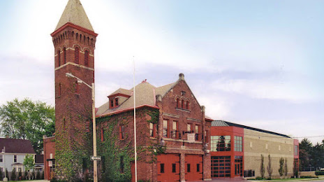
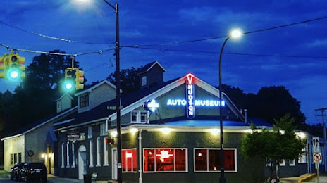
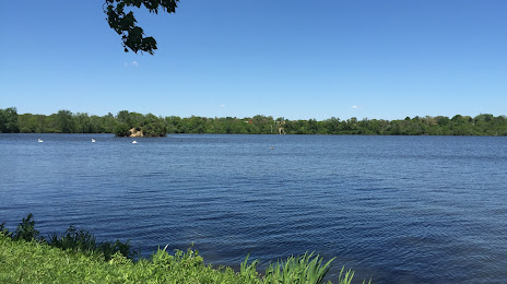
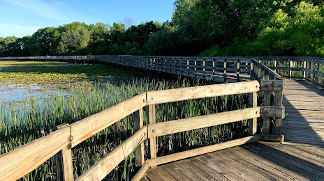
Attractions


Distance to the capital
Distance to the capital (Washington) is about — 668 km.