 Pompano Beach
Belmar
Eatontown
El Dorado Hills
Weedsport
Burnet
Huger
Hazard
Buhler
Wall Township
Grand Island
Pearland
Spirit Lake
Lebanon
Claysville
Lithia Springs
Newnan
Marietta
Deerfield
Pompano Beach
Belmar
Eatontown
El Dorado Hills
Weedsport
Burnet
Huger
Hazard
Buhler
Wall Township
Grand Island
Pearland
Spirit Lake
Lebanon
Claysville
Lithia Springs
Newnan
Marietta
Deerfield
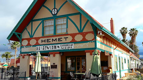
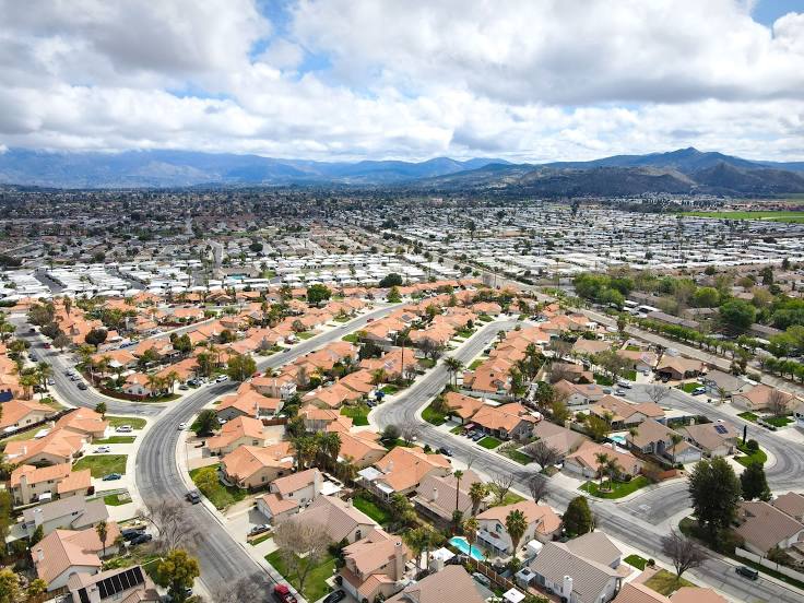
Hemet on the map, United States
Where is located Hemet
Exact location — Hemet, Riverside County, California, United States, marked on the map with a red marker.
Coordinates
Hemet, United States coordinates in decimal format: latitude — 33.7475203, longitude — -116.9719684. When converted to degrees, minutes, seconds Hemet has the following coordinates: 33°44′51.07 north latitude and -116°58′19.09 east longitude.
Population
Hemet, Riverside County, California, United States, according to our data the population is — 69,039 residents, which is about 0% of the total population of the country (United States).
Comparison of the population on the graph:
Exact time
Time zone for this location Hemet — UTC -7 America/Los_Angeles. Exact time — friday, 4 april 2024 year, 16 h. 08 minutes.
Sunrise and sunset
Hemet, sunrise and sunset data for a date — friday 26.04.2024.
| Sunrise | Sunset | Day (duration) |
|---|---|---|
| 06:06 -1 minute | 19:24 -0 minutes | 13 h. 18 minutes. +1 minute |
You can control the scale of the map using the auxiliary tools to find out exactly where it is located Hemet. When you change the scale of the map, the width of the ruler also changes (in kilometers and miles).
Nearby cities
The largest cities that are located nearby:
- Moreno Valley — 32 km
- Riverside — 45 km
- San Bernardino — 49 km
- Rialto — 54 km
- Corona — 56 km
- Fontana — 57 km
- Rancho Cucamonga — 69 km
- Escondido — 70 km
- Ontario — 71 km
- Oceanside — 72 km
- Irvine — 76 km
- Pomona — 79 km
- Orange — 81 km
- Santa Ana — 82 km
- Anaheim — 87 km
- Costa Mesa — 88 km
- Fullerton — 88 km
- Garden Grove — 89 km
- Huntington Beach — 95 km
Distance to neighboring capitals:
- Mexico City
 (Mexico) — 2377 km
 - Belmopan
 (Belize) — 3356 km
 - Guatemala City
 (Guatemala) — 3405 km
 - Ottawa
 (Canada) — 3721 km
 - Nuuk
 (Greenland) — 5486 km
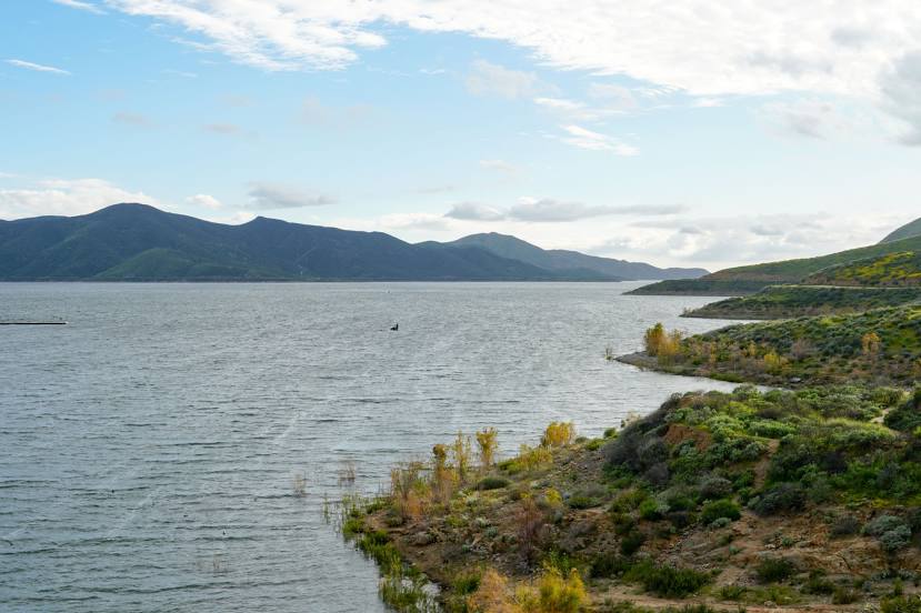
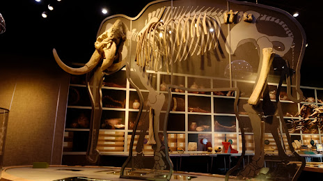
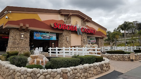
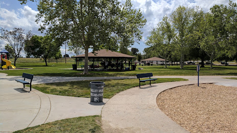
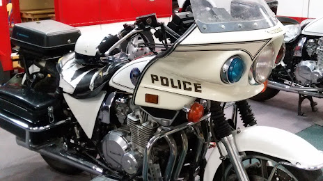
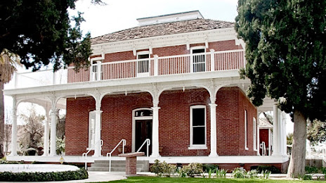
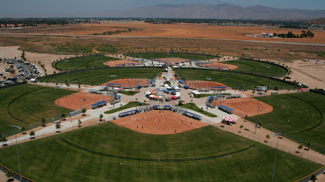
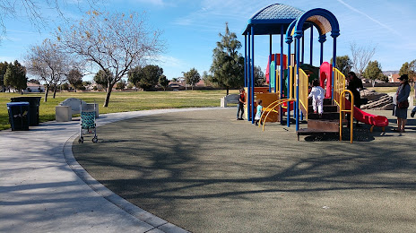
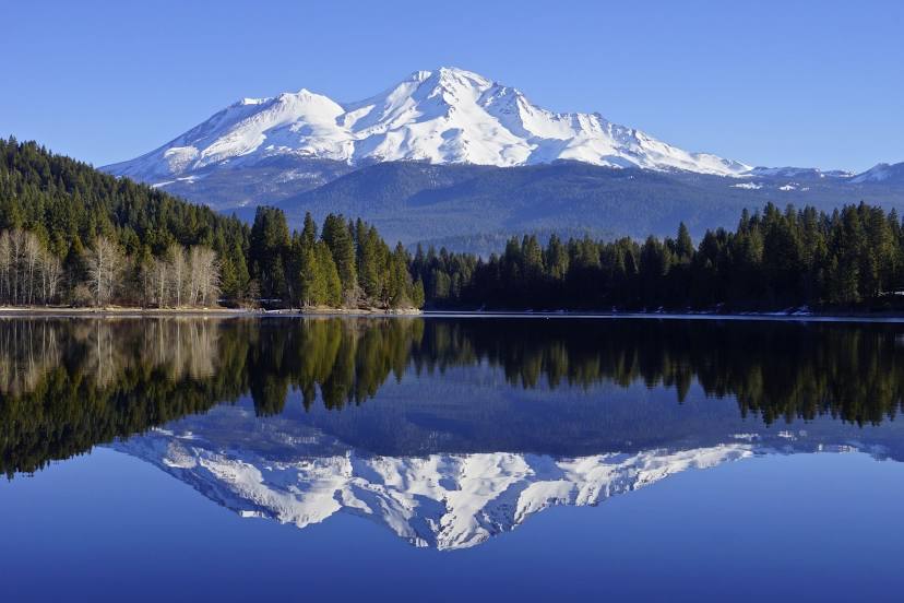
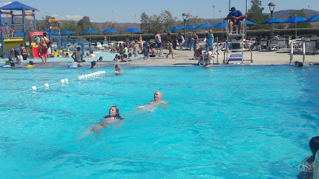
Attractions
Distance to the capital
Distance to the capital (Washington) is about — 3595 km.