 Barstow
Hemet
Rialto
Upland
Ontario
Los Banos
Daphne
Delray Beach
Douglasville
Madison
Eagle River
Waverly
Palmer
Wasilla
Jay
Aurora
Colman
Windsor Locks
Saint Clairsville
Barstow
Hemet
Rialto
Upland
Ontario
Los Banos
Daphne
Delray Beach
Douglasville
Madison
Eagle River
Waverly
Palmer
Wasilla
Jay
Aurora
Colman
Windsor Locks
Saint Clairsville
Pearland on the map, United States
Where is located Pearland
Exact location — Pearland, Brazoria County, Texas, United States, marked on the map with a red marker.
Coordinates
Pearland, United States coordinates in decimal format: latitude — 29.5635666, longitude — -95.2860474. When converted to degrees, minutes, seconds Pearland has the following coordinates: 29°33′48.84 north latitude and -95°17′9.77 east longitude.
Population
Pearland, Brazoria County, Texas, United States, according to our data the population is — 55,233 residents, which is about 0% of the total population of the country (United States).
Comparison of the population on the graph:
Exact time
Time zone for this location Pearland — UTC -5 America/Chicago. Exact time — thursday, 4 april 2024 year, 23 h. 15 minutes.
Sunrise and sunset
Pearland, sunrise and sunset data for a date — thursday 25.04.2024.
| Sunrise | Sunset | Day (duration) |
|---|---|---|
| 06:46 -1 minute | 19:51 -0 minutes | 13 h. 6 minutes. +1 minute |
You can control the scale of the map using the auxiliary tools to find out exactly where it is located Pearland. When you change the scale of the map, the width of the ruler also changes (in kilometers and miles).
Nearby cities
The largest cities that are located nearby:
- Houston — 23 km
- Beaumont — 125 km
- Austin — 247 km
- Waco — 281 km
- Corpus Christi — 284 km
- Killeen — 288 km
- San Antonio — 309 km
- Lafayette — 320 km
- Shreveport — 357 km
- Mesquite — 375 km
- Dallas — 382 km
- Grand Prairie — 386 km
- Arlington — 390 km
- Garland — 391 km
- Irving — 391 km
- Richardson — 397 km
- Fort Worth — 401 km
- Plano — 404 km
- Carrollton — 406 km
Distance to neighboring capitals:
- Mexico City
 (Mexico) — 1192 km
 - Belmopan
 (Belize) — 1522 km
 - Guatemala City
 (Guatemala) — 1733 km
 - Ottawa
 (Canada) — 2457 km
 - Nuuk
 (Greenland) — 4899 km
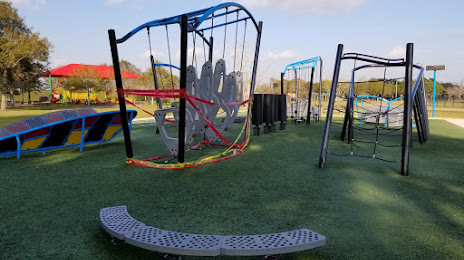
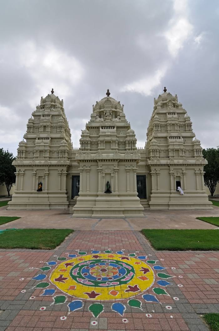
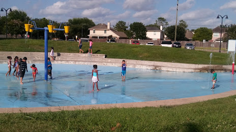
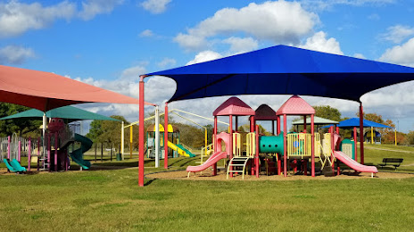
Attractions

Distance to the capital
Distance to the capital (Washington) is about — 1968 km.