Kaufman — Westampton
Kaufman — Starkville
Kaufman — Martin County
Kaufman — Winthrop
Kaufman — James City County
Kaufman — Naples
Kaufman — Paloma
Kaufman — Wheatfield
Kaufman — Bartley
Kaufman — Indianapolis
Kaufman — Wheatley
Kaufman — Ellis Grove
Kaufman — Cowiche
Kaufman — Tuscumbia
Kaufman — Neptune Township
Kaufman — Centerville
Kaufman — Talking Rock
Kaufman — Lacombe
Kaufman — Grand County
Seagoville
Hutchins
Dallas
Dallas County
Signature Flight Support DAL - Dallas Love Field Terminal 1
Irving
Irving
Euless
Bedford
Hurst
North Richland Hills
Watauga
Blue Mound
Rhome
Wise County
Alvord
Wichita Falls
Iowa Park
Electra
Chillicothe
Quanah
Childress
Hedley
Claude
Rick Husband Amarillo International Airport
Amarillo
Vega
San Jon
Tucumcari
Santa Rosa
Moriarty
Cedar Crest
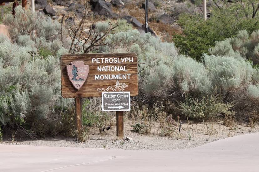
Albuquerque
Kaufman — Westampton
Kaufman — Starkville
Kaufman — Martin County
Kaufman — Winthrop
Kaufman — James City County
Kaufman — Naples
Kaufman — Paloma
Kaufman — Wheatfield
Kaufman — Bartley
Kaufman — Indianapolis
Kaufman — Wheatley
Kaufman — Ellis Grove
Kaufman — Cowiche
Kaufman — Tuscumbia
Kaufman — Neptune Township
Kaufman — Centerville
Kaufman — Talking Rock
Kaufman — Lacombe
Kaufman — Grand County
Seagoville
Hutchins
Dallas
Dallas County
Signature Flight Support DAL - Dallas Love Field Terminal 1
Irving
Irving
Euless
Bedford
Hurst
North Richland Hills
Watauga
Blue Mound
Rhome
Wise County
Alvord
Wichita Falls
Iowa Park
Electra
Chillicothe
Quanah
Childress
Hedley
Claude
Rick Husband Amarillo International Airport
Amarillo
Vega
San Jon
Tucumcari
Santa Rosa
Moriarty
Cedar Crest
Albuquerque
Kaufman — Albuquerque distance, route on the map
Distance by car
Distance between Kaufman, Texas, United States and Albuquerque, New Mexico, United States by car is — km, or miles. To travel this distance by car, you need minute, or h.
Route on the map, driving directions
Car route Kaufman — Albuquerque was created automatically. The road on the map is shown as a blue line. By moving the markers, you can create a new route through the points you need.
Passing cities through which the car route passes: Crandall, Seagoville, Hutchins, Dallas, Dallas County, Signature Flight Support DAL - Dallas Love Field Terminal 1, Irving, Irving, Euless, Bedford, Hurst, North Richland Hills, Watauga, Blue Mound, Rhome, Wise County, Alvord, Wichita Falls, Iowa Park, Electra, Chillicothe, Quanah, Childress, Hedley, Claude, Rick Husband Amarillo International Airport, Amarillo, Vega, San Jon, Tucumcari, Santa Rosa, Moriarty, Cedar Crest, Albuquerque.
Distance by plane
If you decide to take a trip Kaufman Albuquerque by plane, then you have to fly the distance — 990 km or 614 miles. It is marked on the map with a gray line (between two points in a straight line).
Flight time
Estimated flight time Kaufman Albuquerque by plane at cruising speed 750 km / h will be — 1 h. and 19 min.
Direction of movement
United States, Kaufman — right-hand traffic. United States, Albuquerque — right-hand traffic.
Difference in time
Kaufman and Albuquerque are in different time zones. The time difference is 1 hour (UTC -5 America/Chicago, UTC -6 America/Denver).
Interesting Facts
Information on alternative ways to get to your destination.
The length of this distance is about 2.5% of the total length of the equator.
The percentage of the population is clearly shown in the graph:
Kaufman — 8,166 (less by 479,212), Albuquerque — 487,378 residents.
The cost of travel
Calculate the cost of the trip yourself using the fuel consumption calculator, changing the data in the table.