 Hanford
Oconto
Athens
Mukwonago
Fort Atkinson
Sussex Airport
East Troy
Medina
Lockport
Kewaskum
Menomonee Falls
Appleton
Burnham
Iron River
Orange
Redondo Beach
Norwalk
Cullman
Waller
Hanford
Oconto
Athens
Mukwonago
Fort Atkinson
Sussex Airport
East Troy
Medina
Lockport
Kewaskum
Menomonee Falls
Appleton
Burnham
Iron River
Orange
Redondo Beach
Norwalk
Cullman
Waller
Sheboygan on the map, United States
Where is located Sheboygan
Exact location — Sheboygan, Sheboygan County, Wisconsin, United States, marked on the map with a red marker.
Coordinates
Sheboygan, United States coordinates in decimal format: latitude — 43.7508284, longitude — -87.71453. When converted to degrees, minutes, seconds Sheboygan has the following coordinates: 43°45′2.98 north latitude and -87°42′52.31 east longitude.
Population
Sheboygan, Sheboygan County, Wisconsin, United States, according to our data the population is — 48,591 residents, which is about 0% of the total population of the country (United States).
Comparison of the population on the graph:
Exact time
Time zone for this location Sheboygan — UTC -5 America/Chicago. Exact time — thursday, 4 april 2024 year, 21 h. 39 minutes.
Sunrise and sunset
Sheboygan, sunrise and sunset data for a date — thursday 25.04.2024.
| Sunrise | Sunset | Day (duration) |
|---|---|---|
| 05:53 -2 minutes | 19:43 +1 minute | 13 h. 48 minutes. +3 minutes |
You can control the scale of the map using the auxiliary tools to find out exactly where it is located Sheboygan. When you change the scale of the map, the width of the ruler also changes (in kilometers and miles).
Nearby cities
The largest cities that are located nearby:
- Milwaukee — 80 km
- Green Bay — 88 km
- Madison — 155 km
- Grand Rapids — 187 km
- Rockford — 199 km
- Chicago — 207 km
- Naperville — 224 km
- Aurora — 226 km
- Joliet — 248 km
- South Bend — 259 km
- Lansing — 280 km
- Flint — 336 km
- Ann Arbor — 363 km
- Fort Wayne — 365 km
- Peoria — 373 km
- Sterling Heights — 403 km
- Warren — 407 km
- Detroit — 413 km
- Toledo — 414 km
Distance to neighboring capitals:
- Ottawa
 (Canada) — 969 km
 - Mexico City
 (Mexico) — 2906 km
 - Belmopan
 (Belize) — 2949 km
 - Nuuk
 (Greenland) — 3193 km
 - Guatemala City
 (Guatemala) — 3252 km
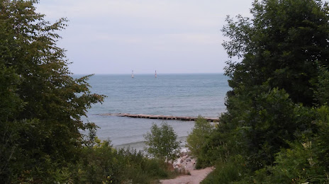
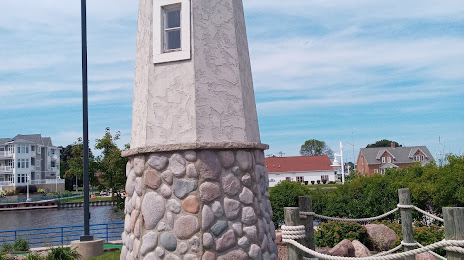
Attractions


Distance to the capital
Distance to the capital (Washington) is about — 1041 km.