 Mukwonago
Fort Atkinson
Sussex Airport
East Troy
Medina
Lockport
Wellsville
Corry
Irvine
Pleasant Prairie
Oshkosh
New Berlin
Kewaskum
Menomonee Falls
Appleton
Burnham
Iron River
Orange
Redondo Beach
Mukwonago
Fort Atkinson
Sussex Airport
East Troy
Medina
Lockport
Wellsville
Corry
Irvine
Pleasant Prairie
Oshkosh
New Berlin
Kewaskum
Menomonee Falls
Appleton
Burnham
Iron River
Orange
Redondo Beach
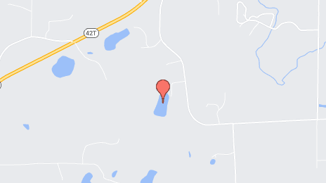
Manitowoc on the map, United States
Where is located Manitowoc
Exact location — Manitowoc, Manitowoc County, Wisconsin, United States, marked on the map with a red marker.
Coordinates
Manitowoc, United States coordinates in decimal format: latitude — 44.0886059, longitude — -87.657584. When converted to degrees, minutes, seconds Manitowoc has the following coordinates: 44°5′18.98 north latitude and -87°39′27.3 east longitude.
Population
Manitowoc, Manitowoc County, Wisconsin, United States, according to our data the population is — 33,939 residents, which is about 0% of the total population of the country (United States).
Comparison of the population on the graph:
Exact time
Time zone for this location Manitowoc — UTC -5 America/Chicago. Exact time — friday, 4 april 2024 year, 06 h. 04 minutes.
Sunrise and sunset
Manitowoc, sunrise and sunset data for a date — friday 26.04.2024.
| Sunrise | Sunset | Day (duration) |
|---|---|---|
| 05:51 -2 minutes | 19:45 +2 minutes | 13 h. 54 minutes. +4 minutes |
You can control the scale of the map using the auxiliary tools to find out exactly where it is located Manitowoc. When you change the scale of the map, the width of the ruler also changes (in kilometers and miles).
Nearby cities
The largest cities that are located nearby:
- Green Bay — 56 km
- Milwaukee — 118 km
- Madison — 180 km
- Grand Rapids — 203 km
- Rockford — 233 km
- Chicago — 244 km
- Naperville — 262 km
- Aurora — 263 km
- Joliet — 286 km
- South Bend — 291 km
- Lansing — 293 km
- Flint — 342 km
- Ann Arbor — 377 km
- Fort Wayne — 393 km
- Peoria — 409 km
- Sterling Heights — 412 km
- Warren — 416 km
- Detroit — 424 km
- Windsor
 (Canada) — 426 km
Distance to neighboring capitals:
- Ottawa (Canada) — 955 km
- Mexico City
 (Mexico) — 2942 km
 - Belmopan
 (Belize) — 2987 km
 - Nuuk
 (Greenland) — 3158 km
 - Guatemala City
 (Guatemala) — 3290 km
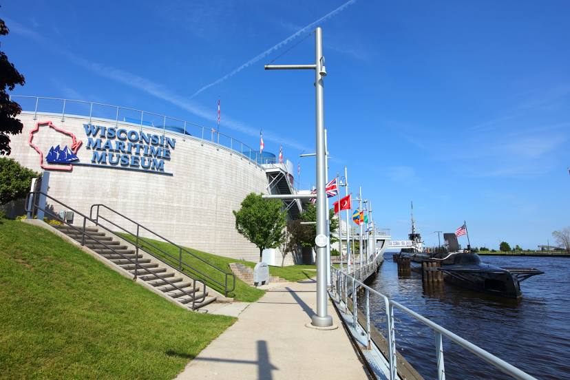
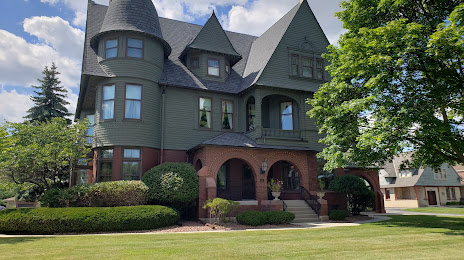
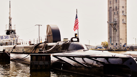
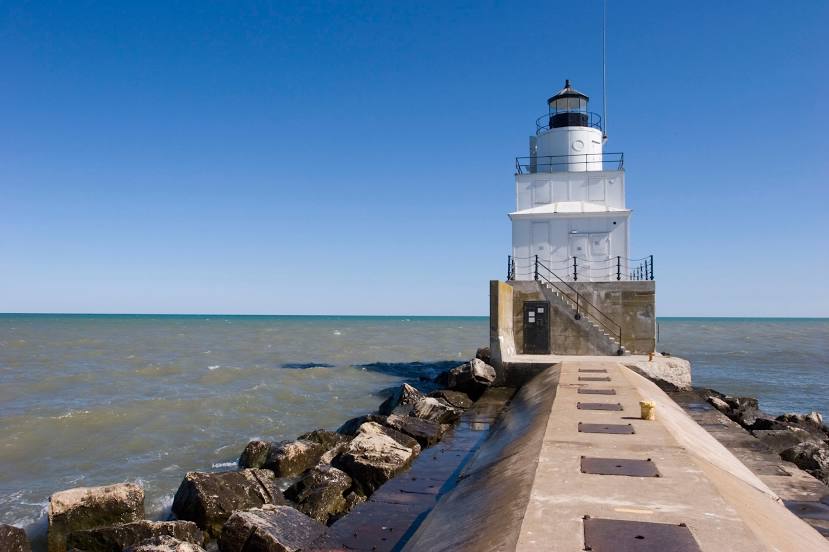
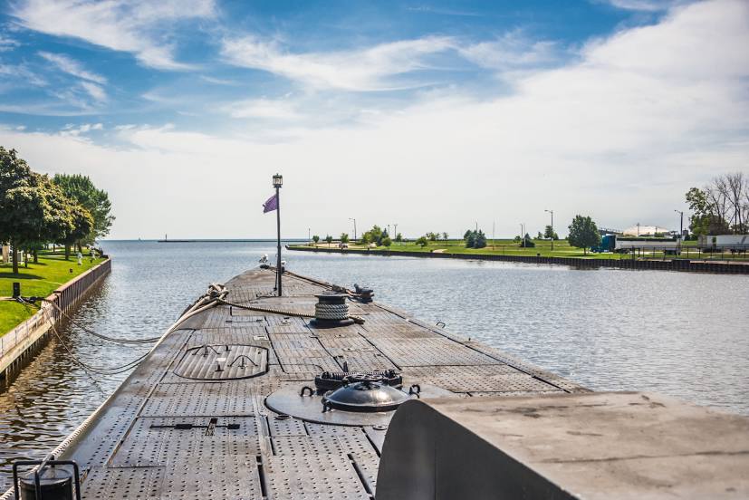
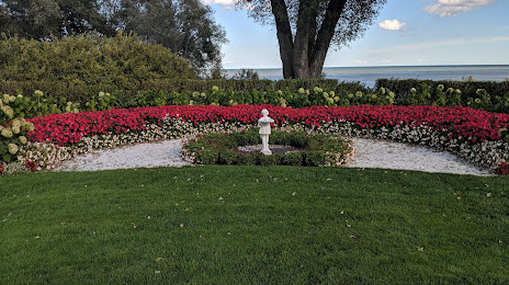
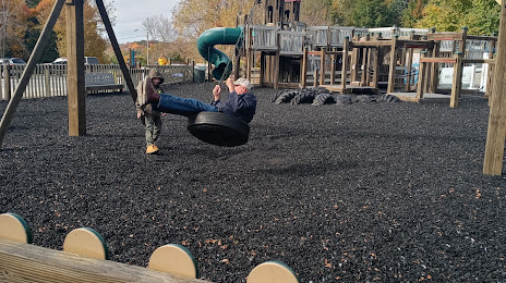
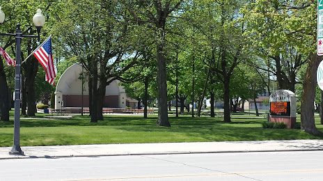
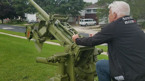
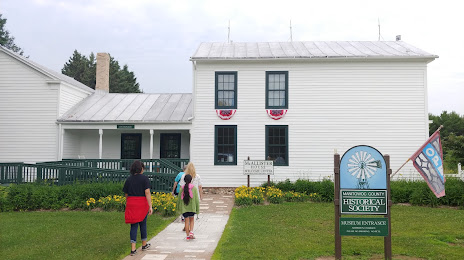
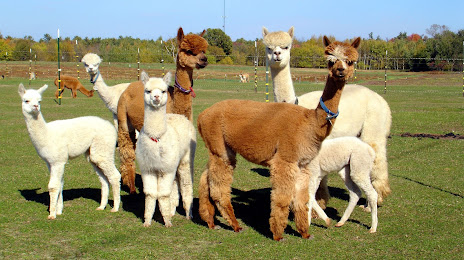
Attractions


Distance to the capital
Distance to the capital (Washington) is about — 1055 km.