 Louisburg
Roseville
Tracy
Siler City
Smithfield
Boone
Apex
Shallotte
Truckee
Wichita Falls
Elliston
Martinsville
Wise
West Jefferson
Grundy
Sandy Ridge
Decatur
Baker City
Christiansburg
Louisburg
Roseville
Tracy
Siler City
Smithfield
Boone
Apex
Shallotte
Truckee
Wichita Falls
Elliston
Martinsville
Wise
West Jefferson
Grundy
Sandy Ridge
Decatur
Baker City
Christiansburg
Porterville on the map, United States
Where is located Porterville
Exact location — Porterville, Tulare County, California, United States, marked on the map with a red marker.
Coordinates
Porterville, United States coordinates in decimal format: latitude — 36.06523, longitude — -119.0167679. When converted to degrees, minutes, seconds Porterville has the following coordinates: 36°3′54.83 north latitude and -119°1′0.36 east longitude.
Population
Porterville, Tulare County, California, United States, according to our data the population is — 44,674 residents, which is about 0% of the total population of the country (United States).
Comparison of the population on the graph:
Exact time
Time zone for this location Porterville — UTC -7 America/Los_Angeles. Exact time — thursday, 4 april 2024 year, 23 h. 22 minutes.
Sunrise and sunset
Porterville, sunrise and sunset data for a date — thursday 25.04.2024.
| Sunrise | Sunset | Day (duration) |
|---|---|---|
| 06:12 -1 minute | 19:35 +1 minute | 13 h. 24 minutes. +2 minutes |
You can control the scale of the map using the auxiliary tools to find out exactly where it is located Porterville. When you change the scale of the map, the width of the ruler also changes (in kilometers and miles).
Nearby cities
The largest cities that are located nearby:
- Visalia — 38 km
- Bakersfield — 76 km
- Fresno — 101 km
- Lancaster — 171 km
- Palmdale — 184 km
- Santa Clarita — 186 km
- Santa Clarita — 190 km
- Simi Valley — 200 km
- Oxnard — 207 km
- Thousand Oaks — 210 km
- Burbank — 218 km
- Universal City — 221 km
- Glendale — 224 km
- Pasadena — 227 km
- Los Angeles — 234 km
- El Monte — 239 km
- East Los Angeles — 239 km
- Inglewood — 240 km
- West Covina — 242 km
Distance to neighboring capitals:
- Mexico City
 (Mexico) — 2682 km
 - Belmopan
 (Belize) — 3638 km
 - Guatemala City
 (Guatemala) — 3701 km
 - Ottawa
 (Canada) — 3747 km
 - Nuuk
 (Greenland) — 5366 km
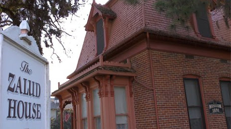
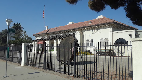
Attractions
Distance to the capital
Distance to the capital (Washington) is about — 3686 km.