 Hewitt
Abilene
Woodway
DeForest
Azle
Cleburne
Ledyard
Hulbert
Okmulgee
Scranton
Clarks Summit
White Haven
Moosic
Florham Park
Barrow
Ketchikan
Kodiak
Painesville
Sparks
Hewitt
Abilene
Woodway
DeForest
Azle
Cleburne
Ledyard
Hulbert
Okmulgee
Scranton
Clarks Summit
White Haven
Moosic
Florham Park
Barrow
Ketchikan
Kodiak
Painesville
Sparks
East Hartford on the map, United States
Where is located East Hartford
Exact location — East Hartford, Hartford County, Connecticut, United States, marked on the map with a red marker.
Coordinates
East Hartford, United States coordinates in decimal format: latitude — 41.7634219, longitude — -72.6128339. When converted to degrees, minutes, seconds East Hartford has the following coordinates: 41°45′48.32 north latitude and -72°36′46.2 east longitude.
Population
East Hartford, Hartford County, Connecticut, United States, according to our data the population is — 50,160 residents, which is about 0% of the total population of the country (United States).
Comparison of the population on the graph:
Exact time
Time zone for this location East Hartford — UTC -4 America/New_York. Exact time — friday, 4 april 2024 year, 02 h. 42 minutes.
Sunrise and sunset
East Hartford, sunrise and sunset data for a date — friday 26.04.2024.
| Sunrise | Sunset | Day (duration) |
|---|---|---|
| 05:55 -2 minutes | 19:40 +1 minute | 13 h. 48 minutes. +3 minutes |
You can control the scale of the map using the auxiliary tools to find out exactly where it is located East Hartford. When you change the scale of the map, the width of the ruler also changes (in kilometers and miles).
Nearby cities
The largest cities that are located nearby:
- Hartford — 6 km
- Springfield — 37 km
- Waterbury — 43 km
- New Haven — 57 km
- Amherst — 64 km
- Bridgeport — 80 km
- Worcester — 86 km
- Providence — 99 km
- Stamford — 110 km
- Cambridge — 140 km
- Yonkers — 141 km
- Lowell — 143 km
- Boston — 143 km
- Paterson — 160 km
- New York — 165 km
- Manchester — 165 km
- Brooklyn — 165 km
- Newark — 173 km
- Elizabeth — 181 km
Distance to neighboring capitals:
- Ottawa
 (Canada) — 477 km
 - Nuuk
 (Greenland) — 2828 km
 - Belmopan
 (Belize) — 3131 km
 - Guatemala City
 (Guatemala) — 3477 km
 - Mexico City
 (Mexico) — 3524 km
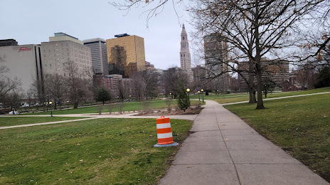
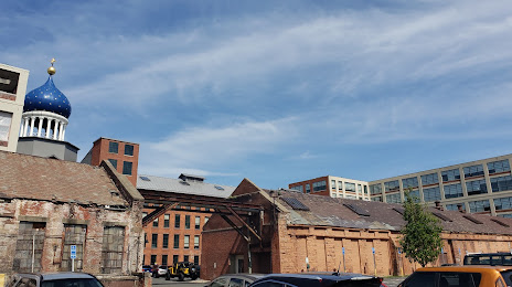
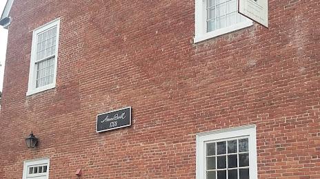
Attractions


Distance to the capital
Distance to the capital (Washington) is about — 491 km.