Port Saint Lucie — Clearwater
Port Saint Lucie — Marshfield
Port Saint Lucie — Auto
Port Saint Lucie — Tsaile
Port Saint Lucie — Orofino
Port Saint Lucie — Masonville
Port Saint Lucie — Saint Peter
Port Saint Lucie — Neshkoro
Port Saint Lucie — Hanna
Port Saint Lucie — Dearing
Port Saint Lucie — Las Vegas
Port Saint Lucie — Windsor
Port Saint Lucie — Schell City
Port Saint Lucie — Frakes
Port Saint Lucie — W H 'Bud' Barron Airport
Port Saint Lucie — Sperryville
Port Saint Lucie — Tippecanoe County
Port Saint Lucie — Baggs
Port Saint Lucie — Drewsville
Fellsmere
Micco
Malabar
Palm Bay
Orlando Melbourne International Airport
Merritt Island
Cocoa
Sharpes
Port Saint John
Titusville
Mims
Scottsmoor
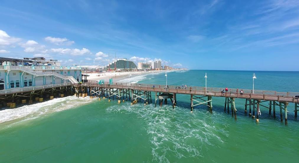
New Smyrna Beach
Volusia County
Port Orange
Port Saint Lucie — Clearwater
Port Saint Lucie — Marshfield
Port Saint Lucie — Auto
Port Saint Lucie — Tsaile
Port Saint Lucie — Orofino
Port Saint Lucie — Masonville
Port Saint Lucie — Saint Peter
Port Saint Lucie — Neshkoro
Port Saint Lucie — Hanna
Port Saint Lucie — Dearing
Port Saint Lucie — Las Vegas
Port Saint Lucie — Windsor
Port Saint Lucie — Schell City
Port Saint Lucie — Frakes
Port Saint Lucie — W H 'Bud' Barron Airport
Port Saint Lucie — Sperryville
Port Saint Lucie — Tippecanoe County
Port Saint Lucie — Baggs
Port Saint Lucie — Drewsville
Fellsmere
Micco
Malabar
Palm Bay
Orlando Melbourne International Airport
Merritt Island
Cocoa
Sharpes
Port Saint John
Titusville
Mims
Scottsmoor
New Smyrna Beach
Volusia County
Port Orange
Port Saint Lucie — Daytona Beach distance, route on the map
Distance by car
Distance between Port Saint Lucie, Florida, United States and Daytona Beach, Florida, United States by car is — km, or miles. To travel this distance by car, you need minute, or h.
Route on the map, driving directions
Car route Port Saint Lucie — Daytona Beach was created automatically. The road on the map is shown as a blue line. By moving the markers, you can create a new route through the points you need.
Passing cities through which the car route passes: Fort Pierce, Fellsmere, Micco, Malabar, Palm Bay, Orlando Melbourne International Airport, Merritt Island, Cocoa, Sharpes, Port Saint John, Titusville, Mims, Scottsmoor, New Smyrna Beach, Volusia County, Port Orange.
Distance by plane
If you decide to take a trip Port Saint Lucie Daytona Beach by plane, then you have to fly the distance — 225 km or 140 miles. It is marked on the map with a gray line (between two points in a straight line).
Flight time
Estimated flight time Port Saint Lucie Daytona Beach by plane at cruising speed 750 km / h will be — 18 min.
Direction of movement
United States, Port Saint Lucie — right-hand traffic. United States, Daytona Beach — right-hand traffic.
Difference in time
Port Saint Lucie and Daytona Beach are in the same time zone. Between them there is no time difference (UTC -4 America/New_York).
Interesting Facts
Information on alternative ways to get to your destination.
The length of this distance is about 0.6% of the total length of the equator.
The percentage of the population is clearly shown in the graph:
Port Saint Lucie — 119,371, Daytona Beach — 64,661 residents (less by 54,710).
The cost of travel
Calculate the cost of the trip yourself using the fuel consumption calculator, changing the data in the table.
Calculate the cost of other distances from the starting point — Port Saint Lucie.