 Prince Frederick
Leitchfield
Tell City
Lawrenceburg
Princeton
Berea
Bloomsdale
Shoals
Barbourville
Canton
Nicasio
Lyndhurst
Michigan City
Waitsfield
Glendora
Santa Teresa
Selkirk
Camden Point
Saranac Lake
Prince Frederick
Leitchfield
Tell City
Lawrenceburg
Princeton
Berea
Bloomsdale
Shoals
Barbourville
Canton
Nicasio
Lyndhurst
Michigan City
Waitsfield
Glendora
Santa Teresa
Selkirk
Camden Point
Saranac Lake
Takoma Park on the map, United States
Where is located Takoma Park
Exact location — Takoma Park, Montgomery County, Maryland, United States, marked on the map with a red marker.
Coordinates
Takoma Park, United States coordinates in decimal format: latitude — 38.9778882, longitude — -77.0074765. When converted to degrees, minutes, seconds Takoma Park has the following coordinates: 38°58′40.4 north latitude and -77°0′26.92 east longitude.
Population
Takoma Park, Montgomery County, Maryland, United States, according to our data the population is — 17,860 residents, which is about 0% of the total population of the country (United States).
Comparison of the population on the graph:
Exact time
Time zone for this location Takoma Park — UTC -4 America/New_York. Exact time — friday, 4 april 2024 year, 04 h. 52 minutes.
Sunrise and sunset
Takoma Park, sunrise and sunset data for a date — friday 26.04.2024.
| Sunrise | Sunset | Day (duration) |
|---|---|---|
| 06:18 -1 minute | 19:53 +1 minute | 13 h. 36 minutes. +2 minutes |
You can control the scale of the map using the auxiliary tools to find out exactly where it is located Takoma Park. When you change the scale of the map, the width of the ruler also changes (in kilometers and miles).
Nearby cities
The largest cities that are located nearby:
- Alexandria — 19 km
- Baltimore — 48 km
- Richmond — 163 km
- Philadelphia — 190 km
- Allentown — 221 km
- Hampton — 223 km
- Norfolk — 244 km
- Virginia Beach — 252 km
- Chesapeake — 252 km
- Toms River — 261 km
- Edison — 277 km
- Pittsburgh — 299 km
- Elizabeth — 300 km
- Newark — 307 km
- Brooklyn — 316 km
- New York — 316 km
- Paterson — 320 km
- Yonkers — 338 km
- Stamford — 369 km
Distance to neighboring capitals:
- Ottawa
 (Canada) — 725 km
 - Belmopan
 (Belize) — 2672 km
 - Guatemala City
 (Guatemala) — 3016 km
 - Mexico City
 (Mexico) — 3040 km
 - Nuuk
 (Greenland) — 3254 km
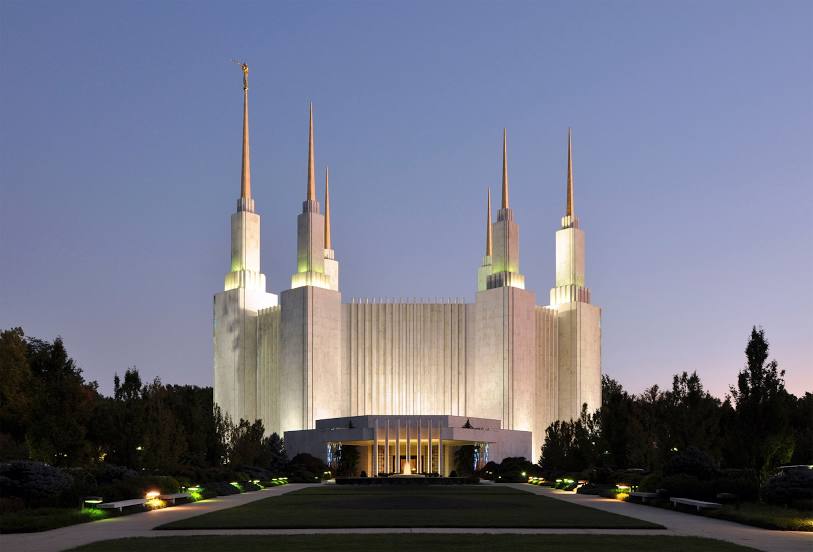
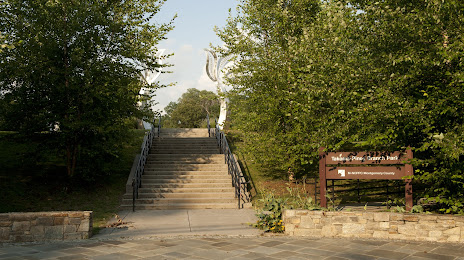
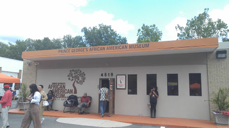
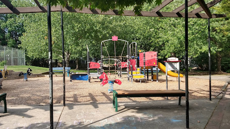
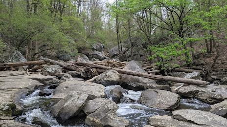
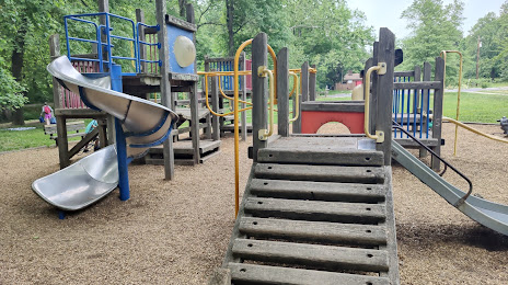
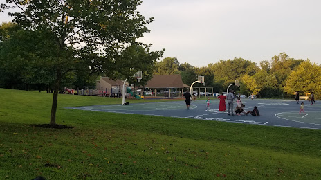
Attractions


Distance to the capital
Distance to the capital (Washington) is about — 8 km.