Cedar City — Running Springs
Cedar City — Bienville
Cedar City — George West
Cedar City — City-County Airport
Cedar City — Torrey
Cedar City — Hinesville
Cedar City — Samburg
Cedar City — Java
Cedar City — Krypton
Cedar City — Idaho
Cedar City — Waukesha
Cedar City — Allardt
Cedar City — Chandlerville
Cedar City — Crystal Bay
Cedar City — Salyer
Cedar City — Keams Canyon
Cedar City — Newcastle
Cedar City — Hunlock Creek
Cedar City — Englewood
Washington
Saint George
Mesquite
Jackman
Las Vegas
North Las Vegas
Las Vegas
Las Vegas
Las Vegas
McCarran International Airport
Jean Airport
Primm
Baker Airport
Yermo
Daggett
Barstow
Hutt
Oro Grande
Victorville
Hesperia
Cajon Junction
Lytle Creek
Fontana
Rancho Cucamonga
LA/Ontario International Airport
Ontario
Norco
Corona
Yorba Linda
Yorba Linda
Placentia
Orange
Tustin
Orange County
John Wayne Airport
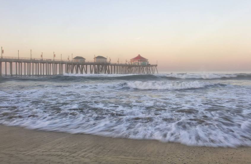
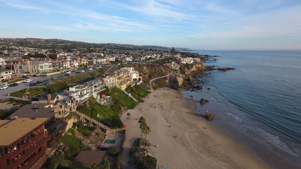
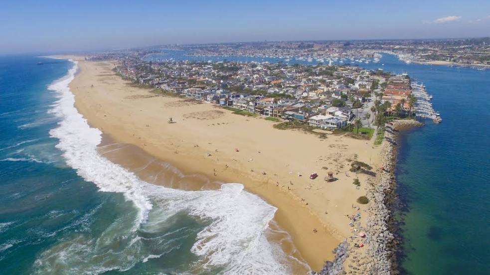
Newport Beach
Costa Mesa
Cedar City — Running Springs
Cedar City — Bienville
Cedar City — George West
Cedar City — City-County Airport
Cedar City — Torrey
Cedar City — Hinesville
Cedar City — Samburg
Cedar City — Java
Cedar City — Krypton
Cedar City — Idaho
Cedar City — Waukesha
Cedar City — Allardt
Cedar City — Chandlerville
Cedar City — Crystal Bay
Cedar City — Salyer
Cedar City — Keams Canyon
Cedar City — Newcastle
Cedar City — Hunlock Creek
Cedar City — Englewood
Washington
Saint George
Mesquite
Jackman
Las Vegas
North Las Vegas
Las Vegas
Las Vegas
Las Vegas
McCarran International Airport
Jean Airport
Primm
Baker Airport
Yermo
Daggett
Barstow
Hutt
Oro Grande
Victorville
Hesperia
Cajon Junction
Lytle Creek
Fontana
Rancho Cucamonga
LA/Ontario International Airport
Ontario
Norco
Corona
Yorba Linda
Yorba Linda
Placentia
Orange
Tustin
Orange County
John Wayne Airport
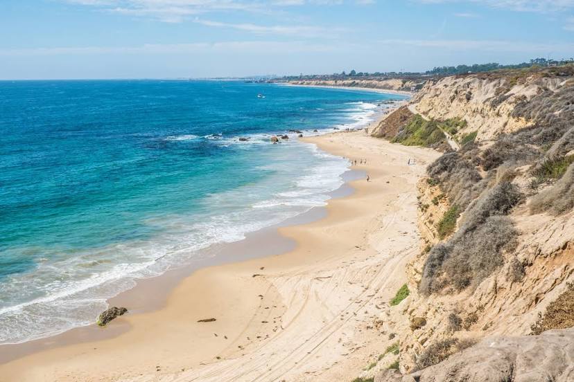
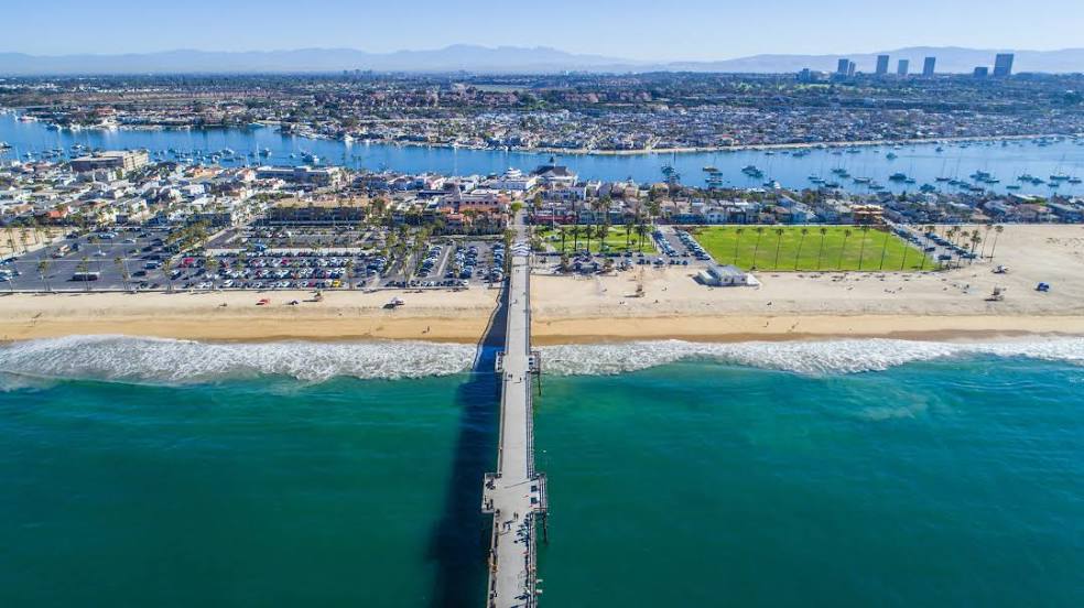
Newport Beach
Costa Mesa
Cedar City — Newport Beach distance, route on the map
Distance by car
Distance between Cedar City, Utah, United States and Newport Beach, California, United States by car is — km, or miles. To travel this distance by car, you need minute, or h.
Route on the map, driving directions
Car route Cedar City — Newport Beach was created automatically. The road on the map is shown as a blue line. By moving the markers, you can create a new route through the points you need.
Passing cities through which the car route passes: Toquerville, Washington, Saint George, Mesquite, Jackman, Las Vegas, North Las Vegas, Las Vegas, Las Vegas, Las Vegas, McCarran International Airport, Jean Airport, Primm, Baker Airport, Yermo, Daggett, Barstow, Hutt, Oro Grande, Victorville, Hesperia, Cajon Junction, Lytle Creek, Fontana, Rancho Cucamonga, LA/Ontario International Airport, Ontario, Norco, Corona, Yorba Linda, Yorba Linda, Placentia, Orange, Tustin, Orange County, John Wayne Airport, Newport Beach, Costa Mesa.
Distance by plane
If you decide to take a trip Cedar City Newport Beach by plane, then you have to fly the distance — 630 km or 391 miles. It is marked on the map with a gray line (between two points in a straight line).
Flight time
Estimated flight time Cedar City Newport Beach by plane at cruising speed 750 km / h will be — 50 min.
Direction of movement
United States, Cedar City — right-hand traffic. United States, Newport Beach — right-hand traffic.
Difference in time
Cedar City and Newport Beach are in different time zones. The time difference is 1 hour (UTC -6 America/Denver, UTC -7 America/Los_Angeles).
Interesting Facts
Information on alternative ways to get to your destination.
The length of this distance is about 1.6% of the total length of the equator.
The percentage of the population is clearly shown in the graph:
Cedar City — 23,005 (less by 55,697), Newport Beach — 78,702 residents.
The cost of travel
Calculate the cost of the trip yourself using the fuel consumption calculator, changing the data in the table.