Grand Bay — Lykens
Grand Bay — Newberg
Grand Bay — Flay
Grand Bay — Wayne
Grand Bay — Onawa
Grand Bay — Landenberg
Grand Bay — Eagle Lake
Grand Bay — Ronkonkoma
Grand Bay — Denton
Grand Bay — Derby
Grand Bay — Roanoke Rapids
Grand Bay — North Wales
Grand Bay — Toone
Grand Bay — Glen Fork
Grand Bay — Brashear
Grand Bay — Dalhart
Grand Bay — Cedar Rapids
Grand Bay — Marathon
Grand Bay — King and Queen County
Spanish Fort
Loxley
Gonzalez
Brent
Milton
Crestview
Mossy Head
DeFuniak Springs
Ponce de Leon
Bonifay
Chipley
Alford
Cottondale
Marianna
Sneads
Tallahassee
Leon County
Wellborn
White Springs
Lake City
High Springs
Alachua
Arredondo
Micanopy
Silver Springs
Astor
Barberville
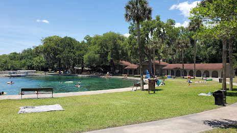
De Leon Springs
Grand Bay — Lykens
Grand Bay — Newberg
Grand Bay — Flay
Grand Bay — Wayne
Grand Bay — Onawa
Grand Bay — Landenberg
Grand Bay — Eagle Lake
Grand Bay — Ronkonkoma
Grand Bay — Denton
Grand Bay — Derby
Grand Bay — Roanoke Rapids
Grand Bay — North Wales
Grand Bay — Toone
Grand Bay — Glen Fork
Grand Bay — Brashear
Grand Bay — Dalhart
Grand Bay — Cedar Rapids
Grand Bay — Marathon
Grand Bay — King and Queen County
Spanish Fort
Loxley
Gonzalez
Brent
Milton
Crestview
Mossy Head
DeFuniak Springs
Ponce de Leon
Bonifay
Chipley
Alford
Cottondale
Marianna
Sneads
Tallahassee
Leon County
Wellborn
White Springs
Lake City
High Springs
Alachua
Arredondo
Micanopy
Silver Springs
Astor
Barberville
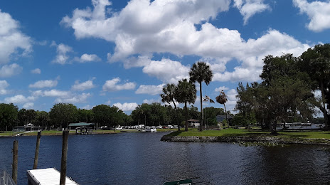
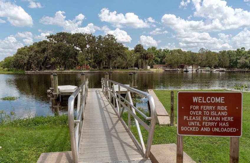
De Leon Springs
Grand Bay — DeLand distance, route on the map
Distance by car
Distance between Grand Bay, Alabama, United States and DeLand, Florida, United States by car is — km, or miles. To travel this distance by car, you need minute, or h.
Route on the map, driving directions
Car route Grand Bay — DeLand was created automatically. The road on the map is shown as a blue line. By moving the markers, you can create a new route through the points you need.
Passing cities through which the car route passes: Mobile, Spanish Fort, Loxley, Gonzalez, Brent, Milton, Crestview, Mossy Head, DeFuniak Springs, Ponce de Leon, Bonifay, Chipley, Alford, Cottondale, Marianna, Sneads, Tallahassee, Leon County, Wellborn, White Springs, Lake City, High Springs, Alachua, Arredondo, Micanopy, Silver Springs, Astor, Barberville, De Leon Springs.
Distance by plane
If you decide to take a trip Grand Bay DeLand by plane, then you have to fly the distance — 698 km or 433 miles. It is marked on the map with a gray line (between two points in a straight line).
Flight time
Estimated flight time Grand Bay DeLand by plane at cruising speed 750 km / h will be — 55 min.
Direction of movement
United States, Grand Bay — right-hand traffic. United States, DeLand — right-hand traffic.
Difference in time
Grand Bay and DeLand are in different time zones. The time difference is 1 hour (UTC -5 America/Chicago, UTC -4 America/New_York).
Interesting Facts
Information on alternative ways to get to your destination.
The length of this distance is about 1.7% of the total length of the equator.
The percentage of the population is clearly shown in the graph:
Grand Bay — 4,099 (less by 22,932), DeLand — 27,031 residents.
The cost of travel
Calculate the cost of the trip yourself using the fuel consumption calculator, changing the data in the table.