 Grasonville
Romney
Columbia Falls
East Moriches
Exmore
Carle Place
Honeoye Falls
Capitol Heights
McLean
Middlebury
Dugway
Winona
Dennis Port
Hinsdale
Barnstable
Provincetown
Mashpee
North Falmouth
Cecilia
Grasonville
Romney
Columbia Falls
East Moriches
Exmore
Carle Place
Honeoye Falls
Capitol Heights
McLean
Middlebury
Dugway
Winona
Dennis Port
Hinsdale
Barnstable
Provincetown
Mashpee
North Falmouth
Cecilia
Weehawken on the map, United States
Where is located Weehawken
Exact location — Weehawken, Hudson County, New Jersey, United States, marked on the map with a red marker.
Coordinates
Weehawken, United States coordinates in decimal format: latitude — 40.7663711, longitude — -74.0253715. When converted to degrees, minutes, seconds Weehawken has the following coordinates: 40°45′58.94 north latitude and -74°1′31.34 east longitude.
Population
Weehawken, Hudson County, New Jersey, United States, according to our data the population is — 14,104 residents, which is about 0% of the total population of the country (United States).
Comparison of the population on the graph:
Exact time
Time zone for this location Weehawken — UTC -4 America/New_York. Exact time — friday, 4 april 2024 year, 15 h. 15 minutes.
Sunrise and sunset
Weehawken, sunrise and sunset data for a date — friday 26.04.2024.
| Sunrise | Sunset | Day (duration) |
|---|---|---|
| 06:03 -1 minute | 19:44 +1 minute | 13 h. 42 minutes. +2 minutes |
You can control the scale of the map using the auxiliary tools to find out exactly where it is located Weehawken. When you change the scale of the map, the width of the ruler also changes (in kilometers and miles).
Nearby cities
The largest cities that are located nearby:
- New York — 6 km
- Brooklyn — 8 km
- Newark — 13 km
- Elizabeth — 19 km
- Paterson — 21 km
- Yonkers — 21 km
- Edison — 43 km
- Stamford — 52 km
- Bridgeport — 83 km
- Toms River — 91 km
- New Haven — 109 km
- Waterbury — 119 km
- Allentown — 124 km
- Philadelphia — 132 km
- Hartford — 156 km
- Springfield — 189 km
- Amherst — 214 km
- Providence — 245 km
- Worcester — 246 km
Distance to neighboring capitals:
- Ottawa
 (Canada) — 535 km
 - Belmopan
 (Belize) — 2973 km
 - Nuuk
 (Greenland) — 2974 km
 - Guatemala City
 (Guatemala) — 3319 km
 - Mexico City
 (Mexico) — 3363 km
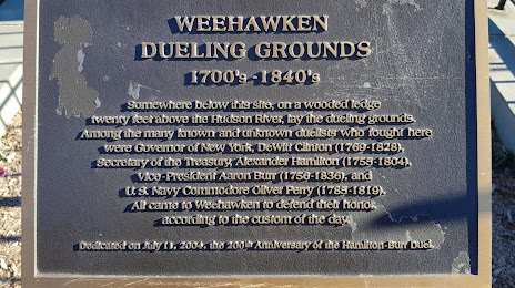
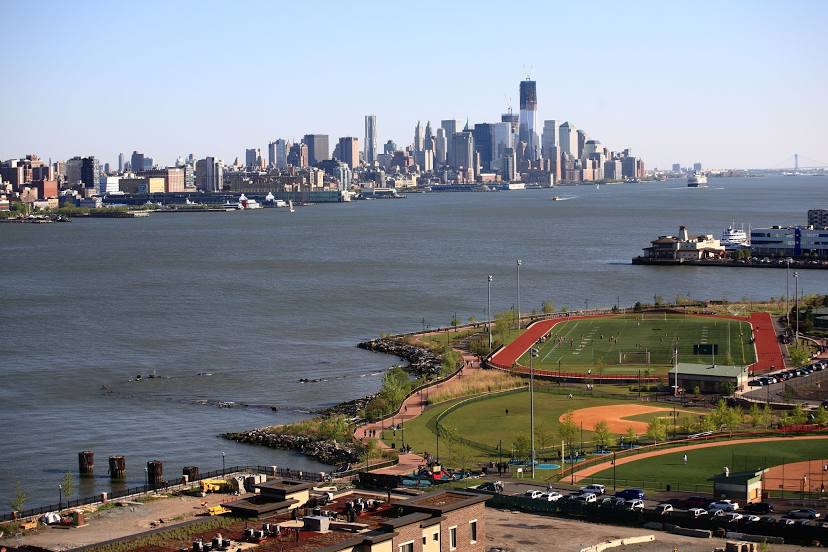
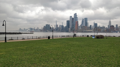
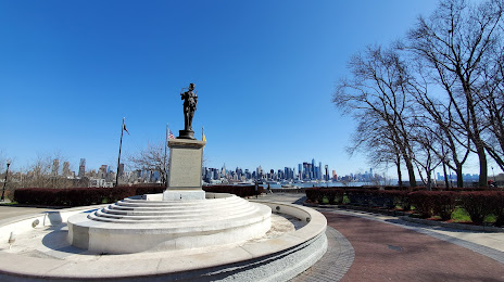
Attractions


Distance to the capital
Distance to the capital (Washington) is about — 330 km.