DeFuniak Springs — Metamora
DeFuniak Springs — Fort Gaines
DeFuniak Springs — Stiles
DeFuniak Springs — Liverpool
DeFuniak Springs — Taylorsville
DeFuniak Springs — Starr County
DeFuniak Springs — Volo
DeFuniak Springs — Boling-Iago
DeFuniak Springs — Garth
DeFuniak Springs — Pine Valley
DeFuniak Springs — Rufe
DeFuniak Springs — Sausalito
DeFuniak Springs — Show Low
DeFuniak Springs — Manson
DeFuniak Springs — Rainier
DeFuniak Springs — Avon
DeFuniak Springs — Spring Park
DeFuniak Springs — Lyndhurst
DeFuniak Springs — Delmont
Bonifay
Chipley
Alford
Cottondale
Marianna
Sneads
Tallahassee
Leon County
Perry
Cross City
Chiefland
Yankeetown
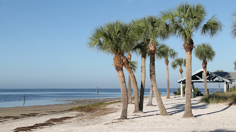
Crystal River
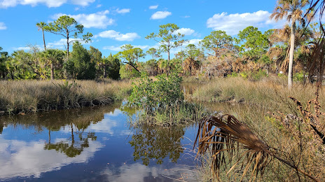
Homosassa
Aripeka
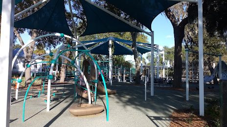
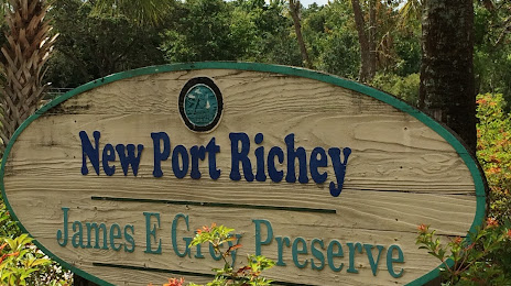
Port Richey
DeFuniak Springs — Metamora
DeFuniak Springs — Fort Gaines
DeFuniak Springs — Stiles
DeFuniak Springs — Liverpool
DeFuniak Springs — Taylorsville
DeFuniak Springs — Starr County
DeFuniak Springs — Volo
DeFuniak Springs — Boling-Iago
DeFuniak Springs — Garth
DeFuniak Springs — Pine Valley
DeFuniak Springs — Rufe
DeFuniak Springs — Sausalito
DeFuniak Springs — Show Low
DeFuniak Springs — Manson
DeFuniak Springs — Rainier
DeFuniak Springs — Avon
DeFuniak Springs — Spring Park
DeFuniak Springs — Lyndhurst
DeFuniak Springs — Delmont
Bonifay
Chipley
Alford
Cottondale
Marianna
Sneads
Tallahassee
Leon County
Perry
Cross City
Chiefland
Yankeetown
Crystal River
Homosassa
Aripeka
Port Richey
DeFuniak Springs — New Port Richey distance, route on the map
Distance by car
Distance between DeFuniak Springs, Florida, United States and New Port Richey, Florida, United States by car is — km, or miles. To travel this distance by car, you need minute, or h.
Route on the map, driving directions
Car route DeFuniak Springs — New Port Richey was created automatically. The road on the map is shown as a blue line. By moving the markers, you can create a new route through the points you need.
Passing cities through which the car route passes: Ponce de Leon, Bonifay, Chipley, Alford, Cottondale, Marianna, Sneads, Tallahassee, Leon County, Perry, Cross City, Chiefland, Yankeetown, Crystal River, Homosassa, Aripeka, Port Richey.
Distance by plane
If you decide to take a trip DeFuniak Springs New Port Richey by plane, then you have to fly the distance — 429 km or 266 miles. It is marked on the map with a gray line (between two points in a straight line).
Flight time
Estimated flight time DeFuniak Springs New Port Richey by plane at cruising speed 750 km / h will be — 34 min.
Direction of movement
United States, DeFuniak Springs — right-hand traffic. United States, New Port Richey — right-hand traffic.
Difference in time
DeFuniak Springs and New Port Richey are in different time zones. The time difference is 1 hour (UTC -5 America/Chicago, UTC -4 America/New_York).
Interesting Facts
Information on alternative ways to get to your destination.
The length of this distance is about 1.1% of the total length of the equator.
The percentage of the population is clearly shown in the graph:
DeFuniak Springs — 5,177 (less by 11,977), New Port Richey — 17,154 residents.
The cost of travel
Calculate the cost of the trip yourself using the fuel consumption calculator, changing the data in the table.