Cedar Crest — Newberry
Cedar Crest — Kirksey
Cedar Crest — Rogers
Cedar Crest — Schroeder
Cedar Crest — Uvilla
Cedar Crest — Isabella
Cedar Crest — Clarksville
Cedar Crest — Lacey
Cedar Crest — Bowdoinham
Cedar Crest — Iowa Park
Cedar Crest — Eglin Air Force Base
Cedar Crest — Sacramento
Cedar Crest — Yellowstone National Park
Cedar Crest — Boise
Cedar Crest — Biddeford
Cedar Crest — Forsan
Cedar Crest — Clare
Cedar Crest — Carbondale
Cedar Crest — Sharpsburg
Albuquerque
United States
Paraje
Cubero
Prewitt
Thoreau
Perea
Gallup
Gallup
Mentmore
Lupton
Houck
Sanders
Chambers
Holbrook
Payson
Fountain Hills
Mesa
Gilbert
Chandler
Casa Blanca
Sacaton
Cedar Crest — Casa Grande distance, route on the map
Distance by car
Distance between Cedar Crest, New Mexico, United States and Casa Grande, Arizona, United States by car is — km, or miles. To travel this distance by car, you need minute, or h.
Route on the map, driving directions
Car route Cedar Crest — Casa Grande was created automatically. The road on the map is shown as a blue line. By moving the markers, you can create a new route through the points you need.
Passing cities through which the car route passes: Albuquerque, Albuquerque, United States, Paraje, Cubero, Prewitt, Thoreau, Perea, Gallup, Gallup, Mentmore, Lupton, Houck, Sanders, Chambers, Holbrook, Payson, Fountain Hills, Mesa, Gilbert, Chandler, Casa Blanca, Sacaton.
Distance by plane
If you decide to take a trip Cedar Crest Casa Grande by plane, then you have to fly the distance — 555 km or 344 miles. It is marked on the map with a gray line (between two points in a straight line).
Flight time
Estimated flight time Cedar Crest Casa Grande by plane at cruising speed 750 km / h will be — 44 min.
Direction of movement
United States, Cedar Crest — right-hand traffic. United States, Casa Grande — right-hand traffic.
Difference in time
Cedar Crest and Casa Grande are in different time zones. The time difference is 1 hour (UTC -6 America/Denver, UTC -7 America/Phoenix).
Interesting Facts
Information on alternative ways to get to your destination.
The length of this distance is about 1.4% of the total length of the equator.
The percentage of the population is clearly shown in the graph:
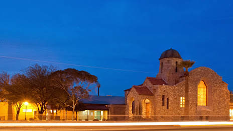
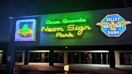
Cedar Crest — 1,115 (less by 31,023), Casa Grande — 32,138 residents.
The cost of travel
Calculate the cost of the trip yourself using the fuel consumption calculator, changing the data in the table.