Chambers — Baker City
Chambers — Daggett
Chambers — Oneida
Chambers — Cottage Grove
Chambers — Camp Verde
Chambers — Dora
Chambers — Horse Cave
Chambers — Nutley
Chambers — Crocketts Bluff
Chambers — Riga
Chambers — Maumelle
Chambers — West Des Moines
Chambers — Pearson
Chambers — Webb City
Chambers — Wendover
Chambers — Manhattan
Chambers — Leavenworth
Chambers — Centreville
Chambers — Woodland Park
Winslow
Flagstaff
Bellemont
Williams
Ash Fork
Seligman
Kingman
Yucca
Topock
Needles
Newberry Springs
Minneola
Daggett
Barstow
Hutt
Hinkley
Boron
Mojave
Tehachapi
Tehachapi
Bakersfield
Buttonwillow
Lost Hills
Kettleman City
Avenal
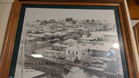
Chambers — Los Banos distance, route on the map
Distance by car
Distance between Chambers, Arizona, United States and Los Banos, California, United States by car is — km, or miles. To travel this distance by car, you need minute, or h.
Route on the map, driving directions
Car route Chambers — Los Banos was created automatically. The road on the map is shown as a blue line. By moving the markers, you can create a new route through the points you need.
Passing cities through which the car route passes: Holbrook, Winslow, Flagstaff, Bellemont, Williams, Ash Fork, Seligman, Kingman, Yucca, Topock, Needles, Newberry Springs, Minneola, Daggett, Barstow, Hutt, Hinkley, Boron, Mojave, Tehachapi, Tehachapi, Bakersfield, Buttonwillow, Lost Hills, Kettleman City, Avenal.
Distance by plane
If you decide to take a trip Chambers Los Banos by plane, then you have to fly the distance — 1046 km or 649 miles. It is marked on the map with a gray line (between two points in a straight line).
Flight time
Estimated flight time Chambers Los Banos by plane at cruising speed 750 km / h will be — 1 h. and 23 min.
Direction of movement
United States, Chambers — right-hand traffic. United States, Los Banos — right-hand traffic.
Difference in time
Chambers and Los Banos are in different time zones. The time difference is 1 hour (UTC -6 America/Denver, UTC -7 America/Los_Angeles).
Interesting Facts
Information on alternative ways to get to your destination.
The length of this distance is about 2.6% of the total length of the equator.
The cost of travel
Calculate the cost of the trip yourself using the fuel consumption calculator, changing the data in the table.