Beetown — Force
Beetown — Schloredt Airport
Beetown — Holmen
Beetown — Morehead City
Beetown — Capital City Airport
Beetown — Crandall
Beetown — Elco
Beetown — Athens
Beetown — Yorkville
Beetown — Capella
Beetown — Montour Falls
Beetown — Montana
Beetown — Reedsville
Beetown — Saint Ignace
Beetown — Celina
Beetown — Waino
Beetown — Icard
Beetown — Melbourne
Beetown — Lehigh
Dubuque
East Dubuque
Bernard
Langworthy
Anamosa
Martelle
Marion Airport
Cedar Rapids
Swisher
North Liberty
Coralville
Conroy
Ladora
Grinnell
Santiago
Bondurant
Des Moines
Johnston
Clive
West Des Moines
Prole
Bevington
New Virginia
Lamoni
Blythedale
Coffey
Pattonsburg
Weatherby
Cameron
Clay County
Gladstone
North Kansas City
Kansas City
Merriam
Overland Park
Lenexa
Olathe
Olathe
Signature Flight Support IXD - New Century Air Center Airport
New Century
Melvern
Lebo
Neosho Rapids
Emporia
Cassoday
El Dorado
Augusta
Andover
Beetown — Albuquerque distance, route on the map
Distance by car
Distance between Beetown, Wisconsin, United States and Albuquerque, New Mexico, United States by car is — km, or miles. To travel this distance by car, you need minute, or h.
Route on the map, driving directions
Car route Beetown — Albuquerque was created automatically. The road on the map is shown as a blue line. By moving the markers, you can create a new route through the points you need.
Passing cities through which the car route passes: Dickeyville, Dubuque, East Dubuque, Bernard, Langworthy, Anamosa, Martelle, Marion Airport, Cedar Rapids, Swisher, North Liberty, Coralville, Conroy, Ladora, Grinnell, Santiago, Bondurant, Des Moines, Johnston, Clive, West Des Moines, Prole, Bevington, New Virginia, Lamoni, Blythedale, Coffey, Pattonsburg, Weatherby, Cameron, Clay County, Gladstone, North Kansas City, Kansas City, Merriam, Overland Park, Lenexa, Olathe, Olathe, Signature Flight Support IXD - New Century Air Center Airport, New Century, Melvern, Lebo, Neosho Rapids, Emporia, Cassoday, El Dorado, Augusta, Andover.
Distance by plane
If you decide to take a trip Beetown Albuquerque by plane, then you have to fly the distance — 1604 km or 994 miles. It is marked on the map with a gray line (between two points in a straight line).
Flight time
Estimated flight time Beetown Albuquerque by plane at cruising speed 750 km / h will be — 2 h. and 8 min.
Direction of movement
United States, Beetown — right-hand traffic. United States, Albuquerque — right-hand traffic.
Difference in time
Beetown and Albuquerque are in different time zones. The time difference is 1 hour (UTC -5 America/Chicago, UTC -6 America/Denver).
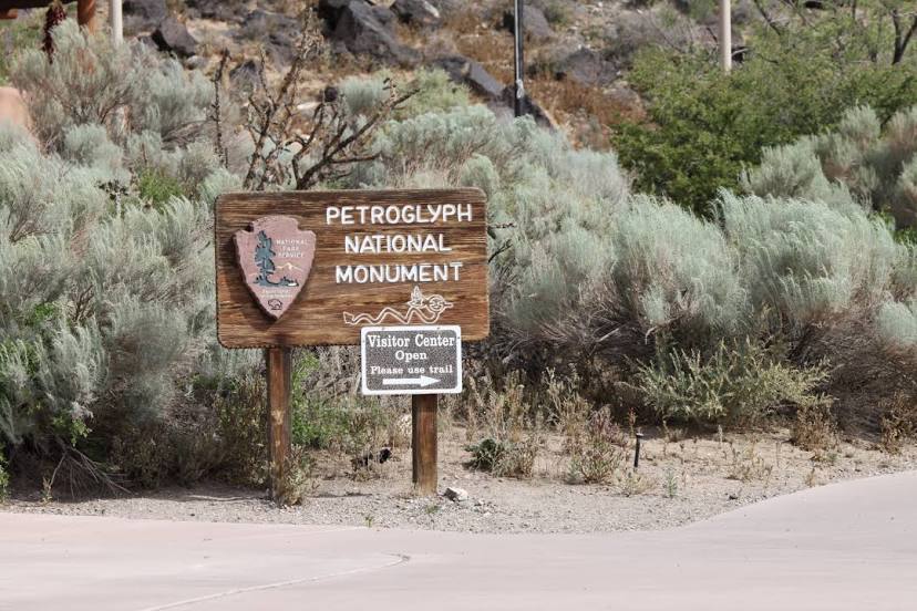
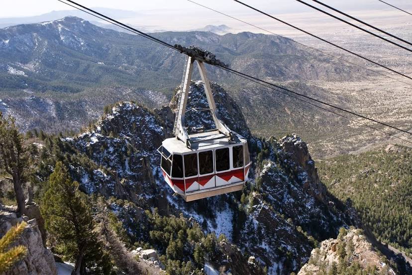
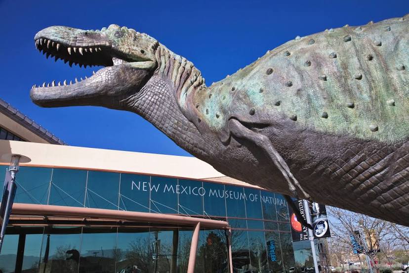
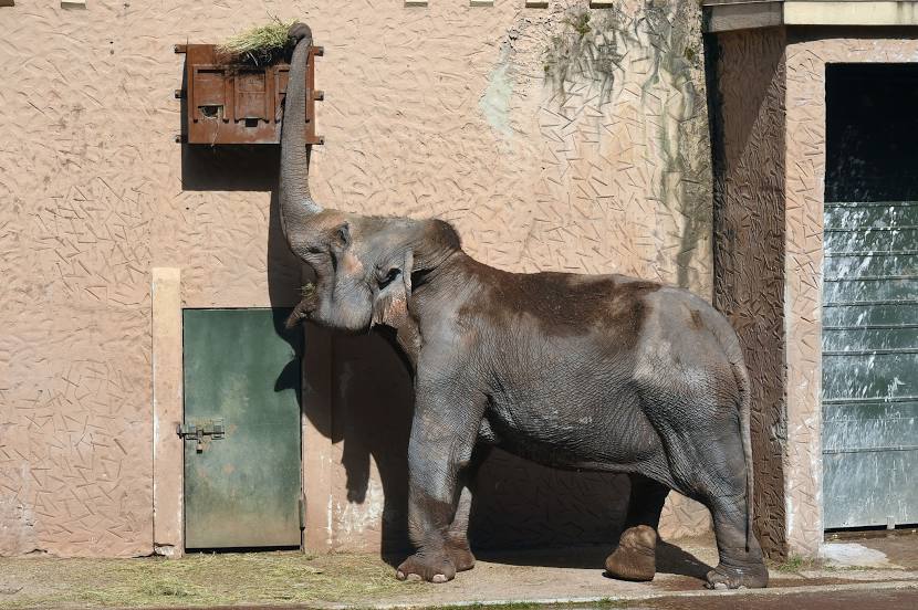
Interesting Facts
Information on alternative ways to get to your destination.
The length of this distance is about 4.0% of the total length of the equator.
The cost of travel
Calculate the cost of the trip yourself using the fuel consumption calculator, changing the data in the table.