East Ryegate — Murchison
East Ryegate — Olathe
East Ryegate — Talbot
East Ryegate — Newbridge
East Ryegate — Mountain Brook
East Ryegate — Duxbury
East Ryegate — Chappells
East Ryegate — Kasota
East Ryegate — Jericho
East Ryegate — Barton County
East Ryegate — Tonica
East Ryegate — Dayton
East Ryegate — Bock
East Ryegate — Mikado
East Ryegate — St. Martin Parish
East Ryegate — Walsh County
East Ryegate — Bluffton
East Ryegate — Marysville
East Ryegate — Yantis
Piermont
Fairlee
Orford
East Thetford
Norwich
Hanover
West Lebanon
Taftsville
Woodstock
Bridgewater Corners
Killington
Rutland
Castleton
Hydeville
Hampton
Fort Ann
Queensbury
Glens Falls
Saratoga Springs
Malta
Galway
Hagaman
Amsterdam
Amsterdam Airfield
Fultonville
Palatine Bridge
Herkimer
Mohawk
Ilion
Utica
Whitesboro
Oriskany
Verona
Oneida
Canastota
Chittenango
Fayetteville
East Syracuse
North Syracuse
Syracuse
Liverpool
Van Buren
Elbridge
Weedsport
Seneca Falls
Oaks Corners
Newark
Shortsville
Pittsford
Rochester
Mumford
Riga
Le Roy
South Byron
East Ryegate — Mentor distance, route on the map
Distance by car
Distance between East Ryegate, Vermont, United States and Mentor, Ohio, United States by car is — km, or miles. To travel this distance by car, you need minute, or h.
Route on the map, driving directions
Car route East Ryegate — Mentor was created automatically. The road on the map is shown as a blue line. By moving the markers, you can create a new route through the points you need.
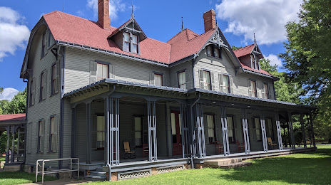
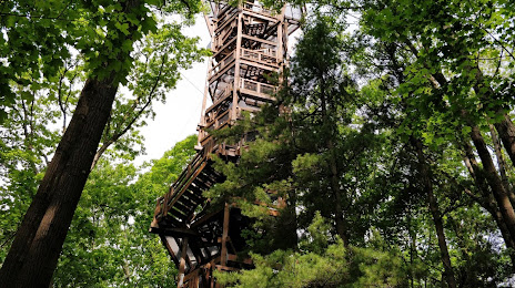
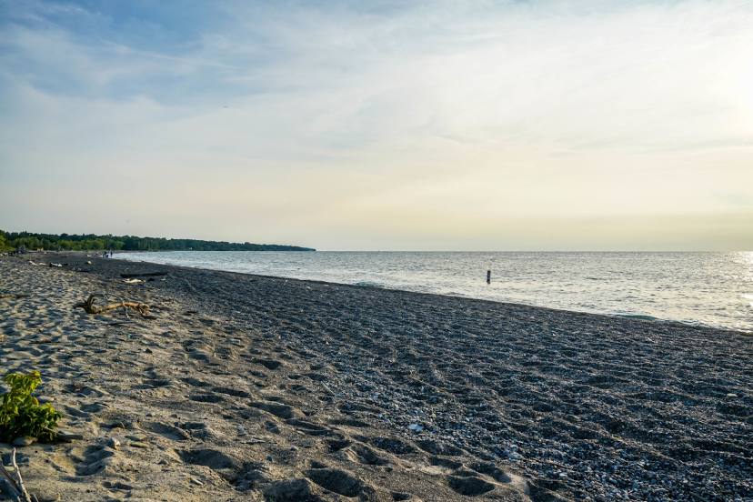
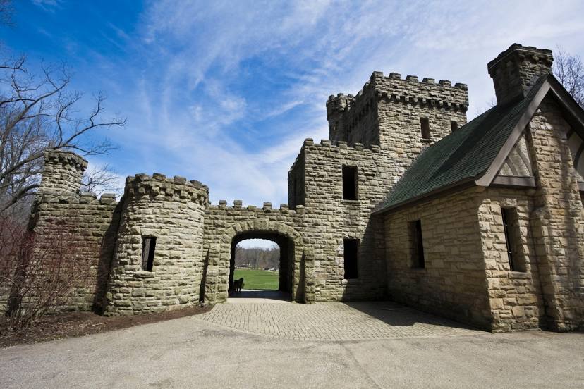
Passing cities through which the car route passes: South Ryegate, Piermont, Fairlee, Orford, East Thetford, Norwich, Hanover, West Lebanon, Taftsville, Woodstock, Bridgewater Corners, Killington, Rutland, Castleton, Hydeville, Hampton, Fort Ann, Queensbury, Glens Falls, Saratoga Springs, Malta, Galway, Hagaman, Amsterdam, Amsterdam Airfield, Fultonville, Palatine Bridge, Herkimer, Mohawk, Ilion, Utica, Whitesboro, Oriskany, Verona, Oneida, Canastota, Chittenango, Fayetteville, East Syracuse, North Syracuse, Syracuse, Liverpool, Van Buren, Elbridge, Weedsport, Seneca Falls, Oaks Corners, Newark, Shortsville, Pittsford, Rochester, Mumford, Riga, Le Roy, South Byron.
Distance by plane
If you decide to take a trip East Ryegate Mentor by plane, then you have to fly the distance — 806 km or 500 miles. It is marked on the map with a gray line (between two points in a straight line).
Flight time
Estimated flight time East Ryegate Mentor by plane at cruising speed 750 km / h will be — 1 h. and 4 min.
Direction of movement
United States, East Ryegate — right-hand traffic. United States, Mentor — right-hand traffic.
Difference in time
East Ryegate and Mentor are in the same time zone. Between them there is no time difference (UTC -4 America/New_York).
Interesting Facts
Information on alternative ways to get to your destination.
The length of this distance is about 2.0% of the total length of the equator.
The cost of travel
Calculate the cost of the trip yourself using the fuel consumption calculator, changing the data in the table.