McComb — Stuart
McComb — Hobart
McComb — Clayton
McComb — Flintstone
McComb — Marion
McComb — Olathe
McComb — Effie
McComb — Worthville
McComb — Elmer
McComb — Gas City
McComb — White River
McComb — Maud
McComb — Ossineke
McComb — Humboldt
McComb — Upland
McComb — Maplewood
McComb — Watt
McComb — Belcourt
McComb — Wingett Run
Gallman
Crystal Springs
Jackson
Flowood
Jackson-Medgar Wiley Evers International Airport
Brandon
Mississippi
Toomsuba
Cuba
Epes
Boligee
Eutaw
Ralph
Tuscaloosa
Cottondale
Vance
Abernant
McCalla
Bessemer
Jefferson County
Docena
Birmingham
Birmingham-Shuttlesworth International Airport
Irondale
Trussville
Margaret
Ashville
Attalla
Etowah County
Reece City
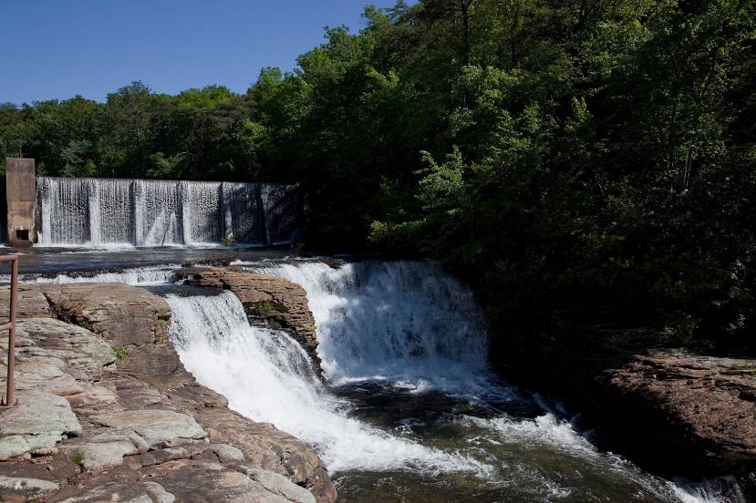
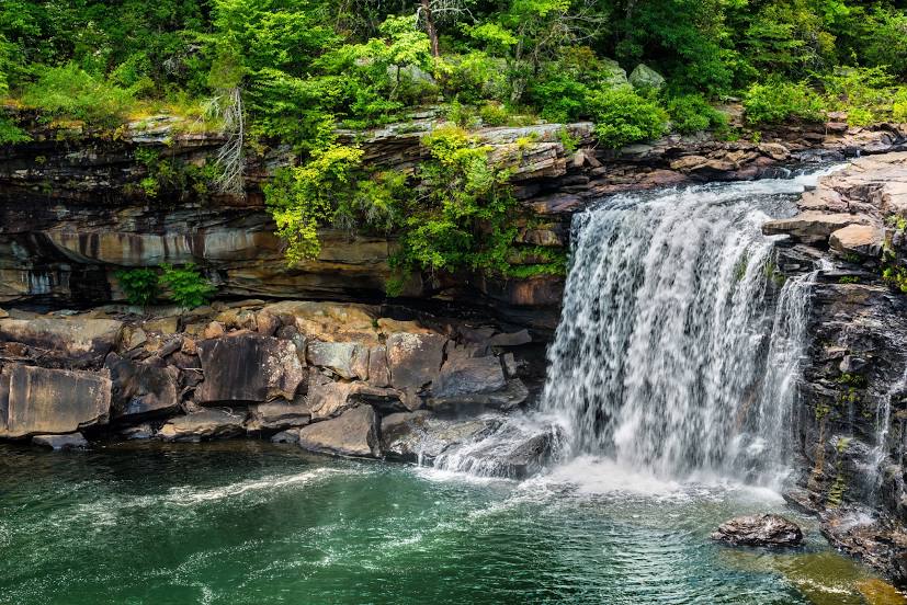
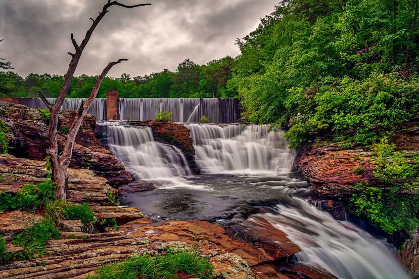
McComb — Fort Payne distance, route on the map
Distance by car
Distance between McComb, Mississippi, United States and Fort Payne, Alabama, United States by car is — km, or miles. To travel this distance by car, you need minute, or h.
Route on the map, driving directions
Car route McComb — Fort Payne was created automatically. The road on the map is shown as a blue line. By moving the markers, you can create a new route through the points you need.
Passing cities through which the car route passes: Bogue Chitto, Gallman, Crystal Springs, Jackson, Flowood, Jackson-Medgar Wiley Evers International Airport, Brandon, Mississippi, Toomsuba, Cuba, Epes, Boligee, Eutaw, Ralph, Tuscaloosa, Cottondale, Vance, Abernant, McCalla, Bessemer, Jefferson County, Docena, Birmingham, Birmingham-Shuttlesworth International Airport, Irondale, Trussville, Margaret, Ashville, Attalla, Etowah County, Reece City.
Distance by plane
If you decide to take a trip McComb Fort Payne by plane, then you have to fly the distance — 568 km or 352 miles. It is marked on the map with a gray line (between two points in a straight line).
Flight time
Estimated flight time McComb Fort Payne by plane at cruising speed 750 km / h will be — 45 min.
Direction of movement
United States, McComb — right-hand traffic. United States, Fort Payne — right-hand traffic.
Difference in time
McComb and Fort Payne are in the same time zone. Between them there is no time difference (UTC -5 America/Chicago).
Interesting Facts
Information on alternative ways to get to your destination.
The length of this distance is about 1.4% of the total length of the equator.
The percentage of the population is clearly shown in the graph:
McComb — 12,790 (less by 796), Fort Payne — 13,586 residents.
The cost of travel
Calculate the cost of the trip yourself using the fuel consumption calculator, changing the data in the table.