
 Pantin
Chartres
Coquelles
Rânes
Jouy-en-Josas
Rodez
Dammarie-lès-Lys
Pontoise
Annecy
Arcueil
Orsay
Massy
Échirolles
Bois d'Arcy
Louveciennes
Vouillé
Rueil-Malmaison
Orly
Bailleul
Pantin
Chartres
Coquelles
Rânes
Jouy-en-Josas
Rodez
Dammarie-lès-Lys
Pontoise
Annecy
Arcueil
Orsay
Massy
Échirolles
Bois d'Arcy
Louveciennes
Vouillé
Rueil-Malmaison
Orly
Bailleul
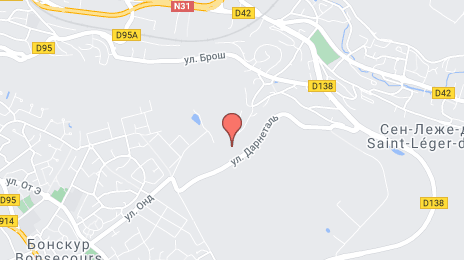
Mont-Saint-Aignan on the map, France
Where is located Mont-Saint-Aignan
Exact location — Mont-Saint-Aignan, Seine-Maritime, Upper Normandy, France, marked on the map with a red marker.
Coordinates
Mont-Saint-Aignan, France coordinates in decimal format: latitude — 49.459778, longitude — 1.079798. When converted to degrees, minutes, seconds Mont-Saint-Aignan has the following coordinates: 49°27′35.2 north latitude and 1°4′47.27 east longitude.
Population
Mont-Saint-Aignan, Seine-Maritime, Upper Normandy, France, according to our data the population is — 22,380 residents, which is about 0% of the total population of the country (France).
Comparison of the population on the graph:
Exact time
Time zone for this location Mont-Saint-Aignan — UTC +2 Europe/Paris. Exact time — sunday, 5 may 2024 year, 11 h. 48 minutes.
Sunrise and sunset
Mont-Saint-Aignan, sunrise and sunset data for a date — sunday 12.05.2024.
| Sunrise | Sunset | Day (duration) |
|---|---|---|
| 06:19 -1 minute | 21:25 +2 minutes | 15 h. 6 minutes. +3 minutes |
You can control the scale of the map using the auxiliary tools to find out exactly where it is located Mont-Saint-Aignan. When you change the scale of the map, the width of the ruler also changes (in kilometers and miles).
Nearby cities
The largest cities that are located nearby:
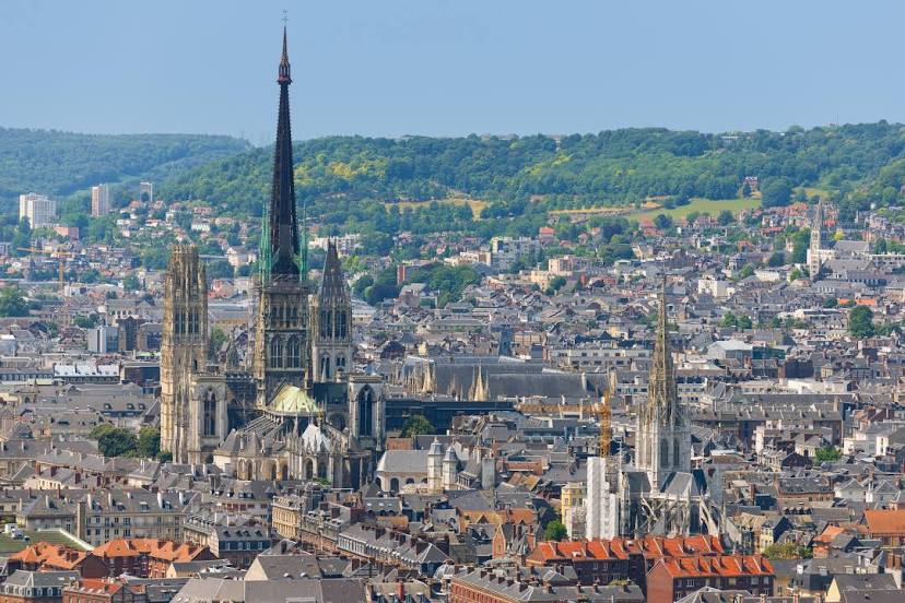
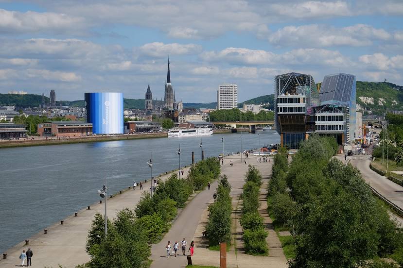
- Rouen — 2 km
- Le Havre — 70 km
- Amiens — 99 km
- Boulogne-Billancourt — 109 km
- Caen — 109 km
- Eastbourne
 (United Kingdom) — 155 km
 - Le Mans — 173 km
- Orléans — 183 km
- Lille — 190 km
- Crawley (United Kingdom) — 202 km
- Portsmouth (United Kingdom) — 213 km
- Reims — 214 km
- Gillingham (United Kingdom) — 216 km
- Sutton (United Kingdom) — 228 km
- Tours — 230 km
- Southend-on-Sea (United Kingdom) — 232 km
- Southampton (United Kingdom) — 236 km
- Basildon (United Kingdom) — 237 km
- London (United Kingdom) — 241 km
Distance to neighboring capitals:
- London (United Kingdom) — 243 km
- Brussels
 (Belgium) — 280 km
 - Amsterdam
 (Netherlands) — 420 km
 - Bern
 (Switzerland) — 548 km
 - Vaduz
 (Liechtenstein) — 675 km
 - Andorra la Vella
 (Andorra) — 774 km
 - Berlin
 (Germany) — 926 km
 - Prague
 (Czech Republic) — 961 km
 - Copenhagen
 (Denmark) — 1038 km
 - Madrid
 (Spain) — 1073 km
 - Vienna
 (Austria) — 1126 km
 - Rome
 (Italy) — 1220 km
 - Warsaw
 (Poland) — 1428 km
 - Lisbon
 (Portugal) — 1444 km
 - Nicosia
 — 3060 km
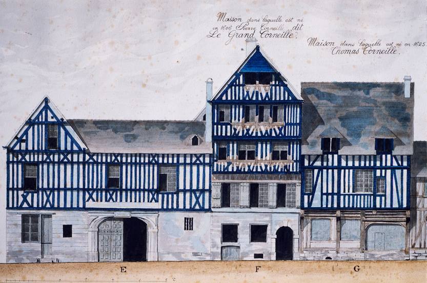
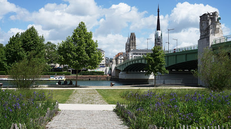
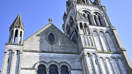
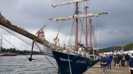
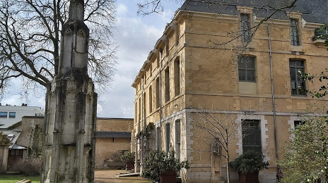
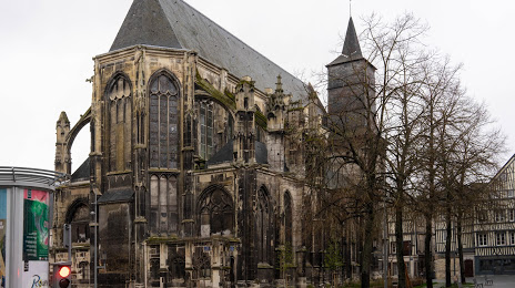
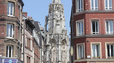
Attractions


Distance to the capital
Distance to the capital (Paris) is about — 114 km.