
 Irigny
Cachan
Reims
Gentilly
Vitrolles
Seclin
La Rochelle
Fos-sur-Mer
Clamart
Noisy-le-Grand
Laval
Mont-Saint-Aignan
Guyancourt
Le Kremlin-Bicêtre
Athis-Mons
Saint-Ouen
Saint-Mandé
Le Chesnay
Alès
Irigny
Cachan
Reims
Gentilly
Vitrolles
Seclin
La Rochelle
Fos-sur-Mer
Clamart
Noisy-le-Grand
Laval
Mont-Saint-Aignan
Guyancourt
Le Kremlin-Bicêtre
Athis-Mons
Saint-Ouen
Saint-Mandé
Le Chesnay
Alès
Chartres on the map, France
Where is located Chartres
Exact location — Chartres, Eure-et-Loir, Centre, France, marked on the map with a red marker.
Coordinates
Chartres, France coordinates in decimal format: latitude — 48.443854, longitude — 1.489012. When converted to degrees, minutes, seconds Chartres has the following coordinates: 48°26′37.87 north latitude and 1°29′20.44 east longitude.
Population
Chartres, Eure-et-Loir, Centre, France, according to our data the population is — 41,229 residents, which is about 0.1% of the total population of the country (France).
Comparison of the population on the graph:
Exact time
Time zone for this location Chartres — UTC +2 Europe/Paris. Exact time — wednesday, 5 may 2024 year, 16 h. 16 minutes.
Sunrise and sunset
Chartres, sunrise and sunset data for a date — wednesday 8.05.2024.
| Sunrise | Sunset | Day (duration) |
|---|---|---|
| 06:26 -1 minute | 21:14 +1 minute | 14 h. 48 minutes. +2 minutes |
You can control the scale of the map using the auxiliary tools to find out exactly where it is located Chartres. When you change the scale of the map, the width of the ruler also changes (in kilometers and miles).
Nearby cities
The largest cities that are located nearby:
- Orléans — 67 km
- Boulogne-Billancourt — 70 km
- Le Mans — 107 km
- Rouen — 114 km
- Tours — 131 km
- Le Havre — 153 km
- Caen — 157 km
- Amiens — 170 km
- Angers — 187 km
- Reims — 204 km
- Rennes — 237 km
- Lille — 265 km
- Nantes — 266 km
- Eastbourne
 (United Kingdom) — 270 km
 - Limoges — 289 km
- Dijon — 294 km
- Charleroi
 (Belgium) — 301 km
 - Crawley (United Kingdom) — 317 km
- Portsmouth (United Kingdom) — 318 km
Distance to neighboring capitals:
- Brussels (Belgium) — 338 km
- London (United Kingdom) — 360 km
- Bern
 (Switzerland) — 476 km
 - Amsterdam
 (Netherlands) — 499 km
 - Vaduz
 (Liechtenstein) — 617 km
 - Andorra la Vella
 (Andorra) — 660 km
 - Berlin
 (Germany) — 956 km
 - Prague
 (Czech Republic) — 956 km
 - Madrid
 (Spain) — 983 km
 - Vienna
 (Austria) — 1099 km
 - Copenhagen
 (Denmark) — 1103 km
 - Rome
 (Italy) — 1127 km
 - Lisbon
 (Portugal) — 1377 km
 - Warsaw
 (Poland) — 1443 km
 - Nicosia
 — 2996 km
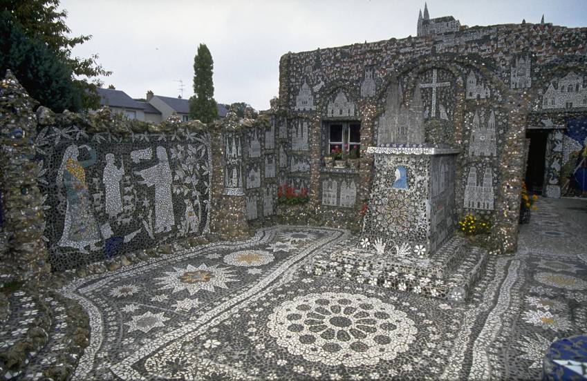
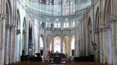
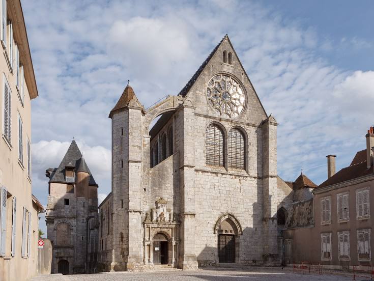
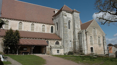
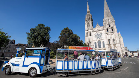
Attractions


Distance to the capital
Distance to the capital (Paris) is about — 78 km.