
 Dreux
Senlis
Mirabeau
Lissieu
Serris
Verdun
Eysines
Gémenos
Fréjus
Auxerre
Saintes
Chatou
Troyes
Lisieux
Coutances
Sausheim
Trappes
Robion
Épinal
Dreux
Senlis
Mirabeau
Lissieu
Serris
Verdun
Eysines
Gémenos
Fréjus
Auxerre
Saintes
Chatou
Troyes
Lisieux
Coutances
Sausheim
Trappes
Robion
Épinal
Libourne on the map, France
Where is located Libourne
Exact location — Libourne, Gironde, Aquitaine, France, marked on the map with a red marker.
Coordinates
Libourne, France coordinates in decimal format: latitude — 44.912998, longitude — -0.243985. When converted to degrees, minutes, seconds Libourne has the following coordinates: 44°54′46.79 north latitude and -0°14′38.35 east longitude.
Population
Libourne, Gironde, Aquitaine, France, according to our data the population is — 22,514 residents, which is about 0% of the total population of the country (France).
Comparison of the population on the graph:
Exact time
Time zone for this location Libourne — UTC +2 Europe/Paris. Exact time — wednesday, 5 may 2024 year, 22 h. 50 minutes.
Sunrise and sunset
Libourne, sunrise and sunset data for a date — wednesday 8.05.2024.
| Sunrise | Sunset | Day (duration) |
|---|---|---|
| 06:43 -1 minute | 21:11 +1 minute | 14 h. 30 minutes. +2 minutes |
You can control the scale of the map using the auxiliary tools to find out exactly where it is located Libourne. When you change the scale of the map, the width of the ruler also changes (in kilometers and miles).
Nearby cities
The largest cities that are located nearby:
- Bordeaux — 28 km
- Limoges — 154 km
- Toulouse — 198 km
- San Sebastián
 (Spain) — 225 km
 - Pamplona (Spain) — 259 km
- Nantes — 273 km
- Clermont-Ferrand — 274 km
- Tours — 283 km
- Bilbao (Spain) — 283 km
- Angers — 285 km
- Vitoria-Gasteiz (Spain) — 301 km
- Logroño (Spain) — 325 km
- Santander (Spain) — 328 km
- Le Mans — 344 km
- Perpignan — 354 km
- Montpellier — 360 km
- Saint-Étienne — 364 km
- Zaragoza (Spain) — 365 km
- Orléans — 367 km
Distance to neighboring capitals:
- Andorra la Vella
 (Andorra) — 303 km
 - Madrid (Spain) — 574 km
- Bern
 (Switzerland) — 636 km
 - London
 (United Kingdom) — 734 km
 - Brussels
 (Belgium) — 744 km
 - Vaduz
 (Liechtenstein) — 793 km
 - Amsterdam
 (Netherlands) — 911 km
 - Lisbon
 (Portugal) — 1008 km
 - Rome
 (Italy) — 1081 km
 - Prague
 (Czech Republic) — 1241 km
 - Berlin
 (Germany) — 1307 km
 - Vienna
 (Austria) — 1320 km
 - Copenhagen
 (Denmark) — 1499 km
 - Warsaw
 (Poland) — 1754 km
 - Nicosia
 — 3034 km
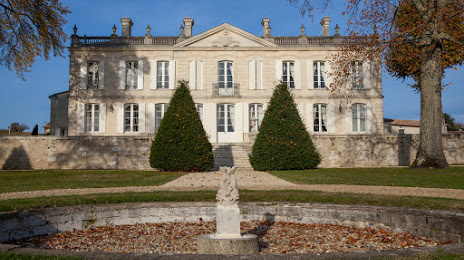
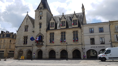
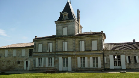
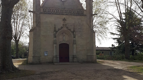
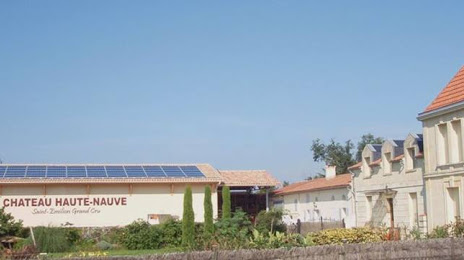
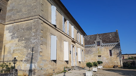
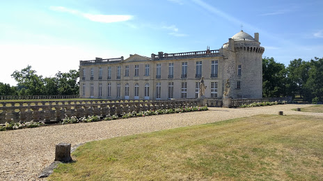
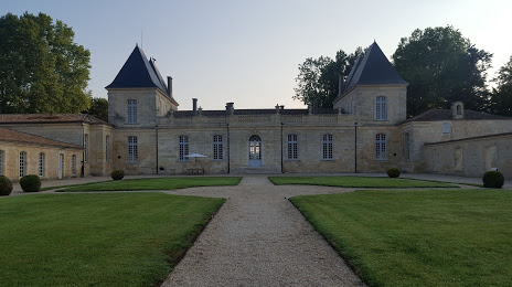
Attractions


Distance to the capital
Distance to the capital (Paris) is about — 481 km.