
 Libourne
Soissons
Gaillard
Fougères
Saran
Hambach
Sceaux
Châteauroux
Senonches
Chapareillan
Montesson
Coignières
Gonesse
Bourgoin-Jallieu
Halluin
Rambouillet
Émerainville
Drancy
Péronnas
Libourne
Soissons
Gaillard
Fougères
Saran
Hambach
Sceaux
Châteauroux
Senonches
Chapareillan
Montesson
Coignières
Gonesse
Bourgoin-Jallieu
Halluin
Rambouillet
Émerainville
Drancy
Péronnas
Saintes on the map, France
Where is located Saintes
Exact location — Saintes, Charente-Maritime, Poitou-Charentes, France, marked on the map with a red marker.
Coordinates
Saintes, France coordinates in decimal format: latitude — 45.744175, longitude — -0.633389. When converted to degrees, minutes, seconds Saintes has the following coordinates: 45°44′39.03 north latitude and -0°38′0.2 east longitude.
Population
Saintes, Charente-Maritime, Poitou-Charentes, France, according to our data the population is — 25,616 residents, which is about 0% of the total population of the country (France).
Comparison of the population on the graph:
Exact time
Time zone for this location Saintes — UTC +2 Europe/Paris. Exact time — saturday, 5 may 2024 year, 13 h. 56 minutes.
Sunrise and sunset
Saintes, sunrise and sunset data for a date — saturday 11.05.2024.
| Sunrise | Sunset | Day (duration) |
|---|---|---|
| 06:38 -2 minutes | 21:18 +1 minute | 14 h. 42 minutes. +3 minutes |
You can control the scale of the map using the auxiliary tools to find out exactly where it is located Saintes. When you change the scale of the map, the width of the ruler also changes (in kilometers and miles).
Nearby cities
The largest cities that are located nearby:
- Bordeaux — 100 km
- Limoges — 146 km
- Nantes — 177 km
- Angers — 192 km
- Tours — 207 km
- Le Mans — 258 km
- Rennes — 273 km
- Clermont-Ferrand — 287 km
- Toulouse — 289 km
- San Sebastián
 (Spain) — 289 km
 - Orléans — 304 km
- Bilbao (Spain) — 331 km
- Pamplona (Spain) — 334 km
- Santander (Spain) — 359 km
- Vitoria-Gasteiz (Spain) — 360 km
- Caen — 381 km
- Saint-Étienne — 391 km
- Logroño (Spain) — 392 km
- Boulogne-Billancourt — 401 km
Distance to neighboring capitals:
- Andorra la Vella
 (Andorra) — 399 km
 - Bern
 (Switzerland) — 634 km
 - London
 (United Kingdom) — 642 km
 - Madrid (Spain) — 643 km
- Brussels
 (Belgium) — 677 km
 - Vaduz
 (Liechtenstein) — 793 km
 - Amsterdam
 (Netherlands) — 839 km
 - Lisbon
 (Portugal) — 1048 km
 - Rome
 (Italy) — 1135 km
 - Prague
 (Czech Republic) — 1220 km
 - Berlin
 (Germany) — 1266 km
 - Vienna
 (Austria) — 1317 km
 - Copenhagen
 (Denmark) — 1439 km
 - Warsaw
 (Poland) — 1728 km
 - Nicosia
 — 3080 km
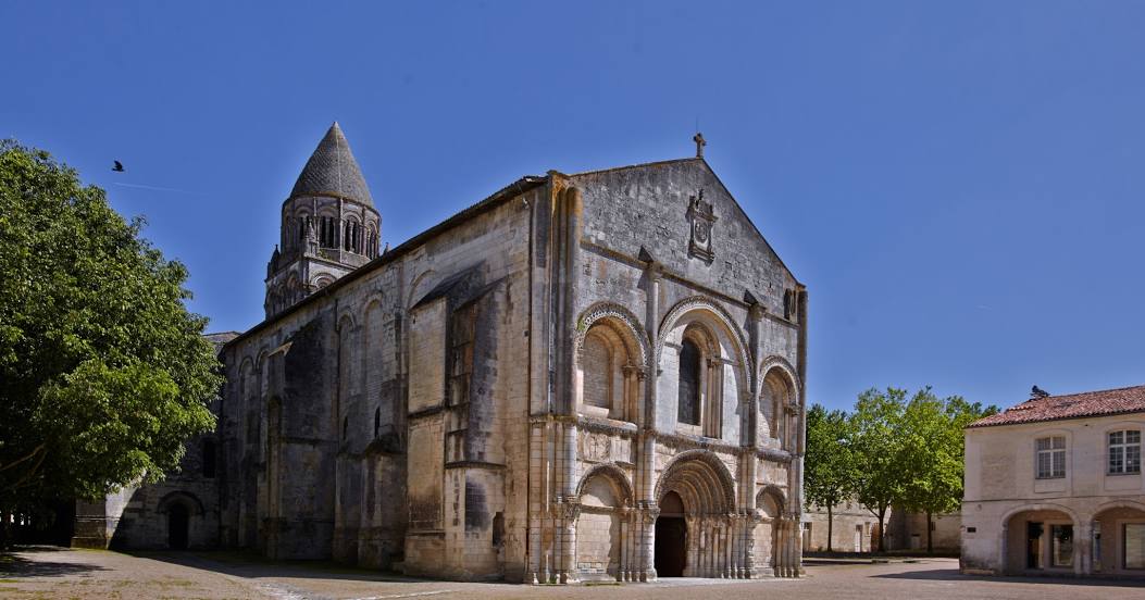
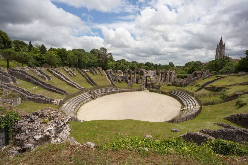
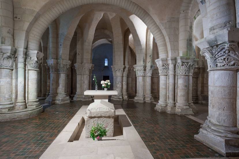
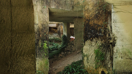
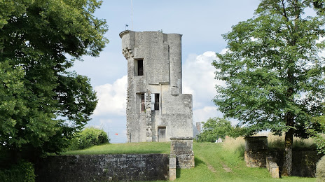
Attractions


Distance to the capital
Distance to the capital (Paris) is about — 413 km.