
 Le Blanc
Provins
Sallanches
Sens
Villejuif
Saint-Cloud
Montrichard
Passy
Orbey
Poissy
Lessay
Brou
Chassieu
Thonon-les-Bains
Fréjus
Gémenos
Eysines
Verdun
Serris
Le Blanc
Provins
Sallanches
Sens
Villejuif
Saint-Cloud
Montrichard
Passy
Orbey
Poissy
Lessay
Brou
Chassieu
Thonon-les-Bains
Fréjus
Gémenos
Eysines
Verdun
Serris
Valenciennes on the map, France
Where is located Valenciennes
Exact location — Valenciennes, Nord, Nord-Pas-de-Calais, France, marked on the map with a red marker.
Coordinates
Valenciennes, France coordinates in decimal format: latitude — 50.357113, longitude — 3.518332. When converted to degrees, minutes, seconds Valenciennes has the following coordinates: 50°21′25.61 north latitude and 3°31′6 east longitude.
Population
Valenciennes, Nord, Nord-Pas-de-Calais, France, according to our data the population is — 42,941 residents, which is about 0.1% of the total population of the country (France).
Comparison of the population on the graph:
Exact time
Time zone for this location Valenciennes — UTC +2 Europe/Paris. Exact time — thursday, 5 may 2024 year, 01 h. 26 minutes.
Sunrise and sunset
Valenciennes, sunrise and sunset data for a date — thursday 9.05.2024.
| Sunrise | Sunset | Day (duration) |
|---|---|---|
| 06:10 -2 minutes | 21:14 +2 minutes | 15 h. 6 minutes. +4 minutes |
You can control the scale of the map using the auxiliary tools to find out exactly where it is located Valenciennes. When you change the scale of the map, the width of the ruler also changes (in kilometers and miles).
Nearby cities
The largest cities that are located nearby:
- Lille — 44 km
- Charleroi
 (Belgium) — 66 km
 - Brussels (Belgium) — 80 km
- Namur (Belgium) — 96 km
- Amiens — 101 km
- Antwerp (Belgium) — 113 km
- Reims — 127 km
- Liège (Belgium) — 148 km
- Breda
 (Netherlands) — 161 km
 - Maastricht (Netherlands) — 161 km
- Tilburg (Netherlands) — 171 km
- Dordrecht (Netherlands) — 180 km
- Eindhoven (Netherlands) — 180 km
- Rotterdam (Netherlands) — 185 km
- Aachen
 (Germany) — 185 km
 - Boulogne-Billancourt — 192 km
- 's-Hertogenbosch (Netherlands) — 192 km
- The Hague (Netherlands) — 197 km
- Zoetermeer (Netherlands) — 200 km
Distance to neighboring capitals:
- Brussels (Belgium) — 80 km
- Amsterdam (Netherlands) — 243 km
- London
 (United Kingdom) — 286 km
 - Bern
 (Switzerland) — 476 km
 - Vaduz
 (Liechtenstein) — 567 km
 - Berlin (Germany) — 726 km
- Prague
 (Czech Republic) — 777 km
 - Copenhagen
 (Denmark) — 845 km
 - Andorra la Vella
 (Andorra) — 886 km
 - Vienna
 (Austria) — 962 km
 - Rome
 (Italy) — 1166 km
 - Warsaw
 (Poland) — 1231 km
 - Madrid
 (Spain) — 1240 km
 - Lisbon
 (Portugal) — 1633 km
 - Nicosia
 — 2934 km
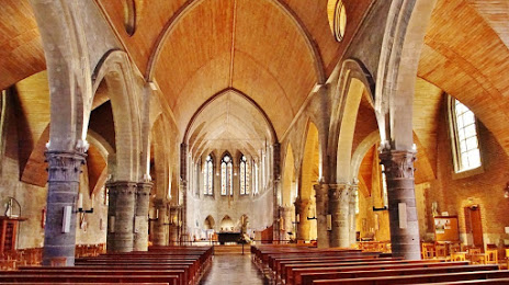
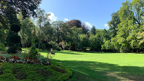
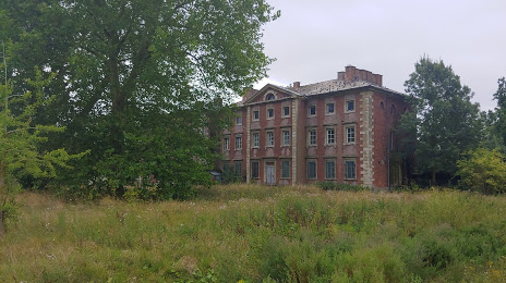
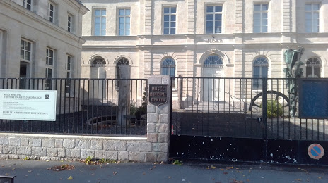
Attractions


Distance to the capital
Distance to the capital (Paris) is about — 187 km.