Saint-Avertin — Saulxures-lès-Nancy
Saint-Avertin — Sanary-sur-Mer
Saint-Avertin — Palluau
Saint-Avertin — Ouzouer-des-Champs
Saint-Avertin — Sillé-le-Guillaume
Saint-Avertin — Château-Voué
Saint-Avertin — Grisolles
Saint-Avertin — Trévé
Saint-Avertin — Escoussans
Saint-Avertin — Châteauneuf-sur-Isère
Saint-Avertin — Septmoncel
Saint-Avertin — Douville
Saint-Avertin — Olivet
Saint-Avertin — La Grande-Paroisse
Saint-Avertin — Breuvannes-en-Bassigny
Saint-Avertin — Torreilles
Saint-Avertin — Saint-Léonard
Saint-Avertin — Struth
Saint-Avertin — Moutiers-au-Perche
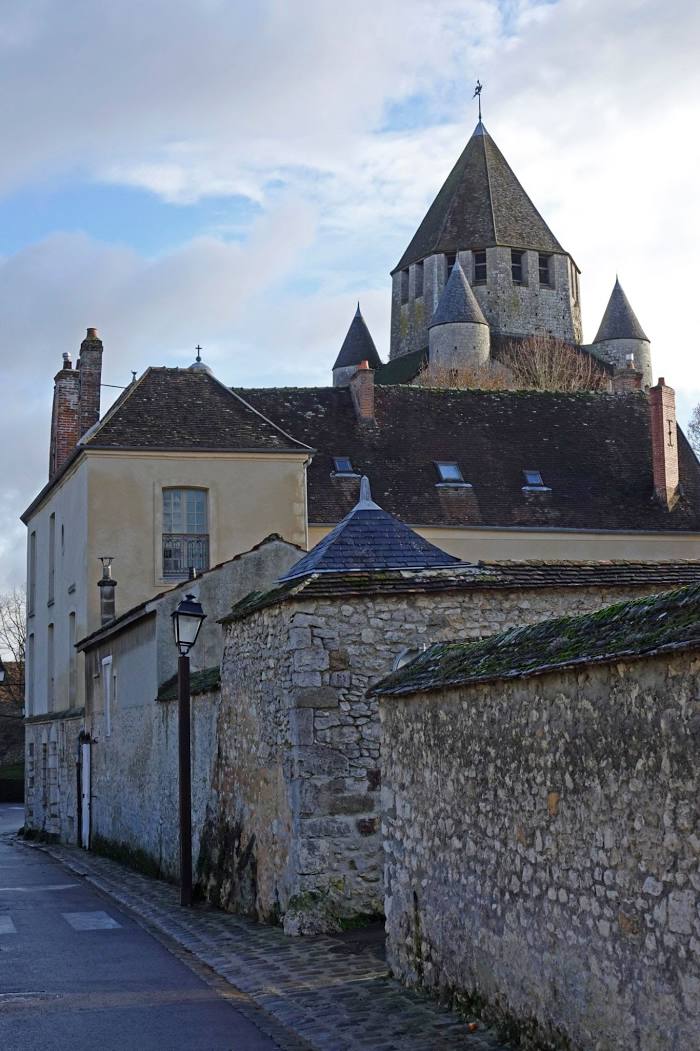
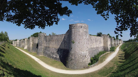
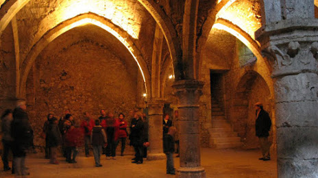
Saint-Avertin — Provins distance, route on the map
Distance by car
Distance between Saint-Avertin, Centre, France and Provins, Île-de-France, France by car is — km, or miles. To travel this distance by car, you need minute, or h.
Route on the map, driving directions
Car route Saint-Avertin — Provins was created automatically. The road on the map is shown as a blue line. By moving the markers, you can create a new route through the points you need.
Distance by plane
If you decide to take a trip Saint-Avertin Provins by plane, then you have to fly the distance — 233 km or 144 miles. It is marked on the map with a gray line (between two points in a straight line).
Flight time
Estimated flight time Saint-Avertin Provins by plane at cruising speed 750 km / h will be — 18 min.
Direction of movement
France, Saint-Avertin — right-hand traffic. France, Provins — right-hand traffic.
Difference in time
Saint-Avertin and Provins are in the same time zone. Between them there is no time difference (UTC +2 Europe/Paris).
Interesting Facts
Information on alternative ways to get to your destination.
The length of this distance is about 0.6% of the total length of the equator.
The percentage of the population is clearly shown in the graph:
Saint-Avertin — 15,619, Provins — 11,958 residents (less by 3,661).
The cost of travel
Calculate the cost of the trip yourself using the fuel consumption calculator, changing the data in the table.