
 Plomelin
Riscle
Appoigny
Héric
Bressols
Pontlevoy
Allassac
Baldenheim
Outreau
Erquy
Le Lavandou
Beaurainville
Selongey
Saleilles
Guînes
Luzarches
Villebois
Magnanville
Cancale
Plomelin
Riscle
Appoigny
Héric
Bressols
Pontlevoy
Allassac
Baldenheim
Outreau
Erquy
Le Lavandou
Beaurainville
Selongey
Saleilles
Guînes
Luzarches
Villebois
Magnanville
Cancale
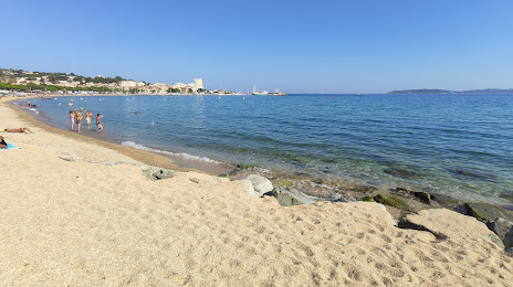
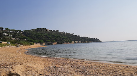
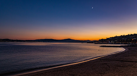
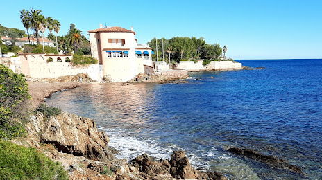
Sainte-Maxime on the map, France
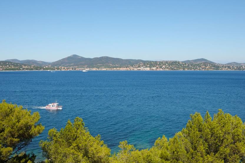
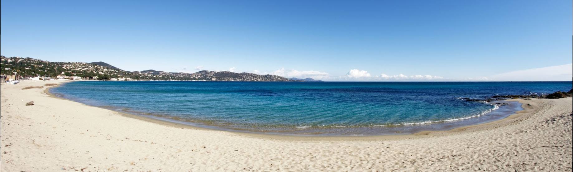
Where is located Sainte-Maxime
Exact location — Sainte-Maxime, Var, Provence-Alpes-Côte d'Azur, France, marked on the map with a red marker.
Coordinates
Sainte-Maxime, France coordinates in decimal format: latitude — 43.310184, longitude — 6.640482. When converted to degrees, minutes, seconds Sainte-Maxime has the following coordinates: 43°18′36.66 north latitude and 6°38′25.74 east longitude.
Population
Sainte-Maxime, Var, Provence-Alpes-Côte d'Azur, France, according to our data the population is — 13,291 residents, which is about 0% of the total population of the country (France).
Comparison of the population on the graph:
Exact time
Time zone for this location Sainte-Maxime — UTC +2 Europe/Paris. Exact time — wednesday, 5 may 2024 year, 06 h. 05 minutes.
Sunrise and sunset
Sainte-Maxime, sunrise and sunset data for a date — wednesday 15.05.2024.
| Sunrise | Sunset | Day (duration) |
|---|---|---|
| 06:12 -1 minute | 20:47 +1 minute | 14 h. 36 minutes. +2 minutes |
You can control the scale of the map using the auxiliary tools to find out exactly where it is located Sainte-Maxime. When you change the scale of the map, the width of the ruler also changes (in kilometers and miles).
Nearby cities
The largest cities that are located nearby:
- Toulon — 61 km
- Nice — 67 km
- Aix-en-Provence — 99 km
- Marseille — 102 km
- Nimes — 191 km
- Turin
 (Italy) — 211 km
 - Genoa (Italy) — 219 km
- Grenoble — 220 km
- Montpellier — 224 km
- Novara (Italy) — 282 km
- Saint-Étienne — 293 km
- Livorno (Italy) — 295 km
- Villeurbanne — 304 km
- Lyon — 305 km
- Milan (Italy) — 309 km
- Perpignan — 312 km
- Geneva
 (Switzerland) — 322 km
 - Monza (Italy) — 324 km
- Sassari (Italy) — 328 km
Distance to neighboring capitals:
- Bern (Switzerland) — 409 km
- Andorra la Vella
 (Andorra) — 426 km
 - Vaduz
 (Liechtenstein) — 482 km
 - Rome (Italy) — 504 km
- Brussels
 (Belgium) — 856 km
 - Madrid
 (Spain) — 915 km
 - Vienna
 (Austria) — 930 km
 - Prague
 (Czech Republic) — 958 km
 - Amsterdam
 (Netherlands) — 1016 km
 - London
 (United Kingdom) — 1043 km
 - Berlin
 (Germany) — 1141 km
 - Lisbon
 (Portugal) — 1416 km
 - Copenhagen
 (Denmark) — 1439 km
 - Warsaw
 (Poland) — 1458 km
 - Nicosia
 — 2461 km
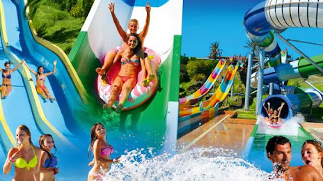
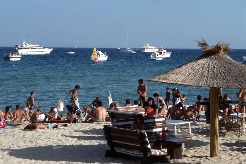
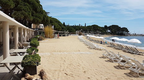
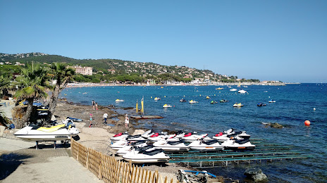
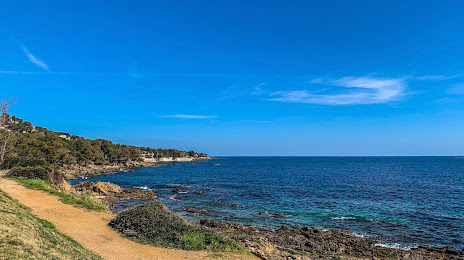
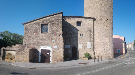
Attractions


Distance to the capital
Distance to the capital (Paris) is about — 700 km.