
 Luxeuil-les-Bains
Pont-à-Mousson
Saint-Gaudens
La Ferté-Bernard
La Chapelle-sur-Erdre
Sablé-sur-Sarthe
Rosny-sous-Bois
Saint-Martin-d'Hères
Maizières-lès-Metz
Challes-les-Eaux
Saint-Germain-en-Laye
Bonneuil-sur-Marne
La Queue-en-Brie
Ozoir-la-Ferrière
Joinville-le-Pont
Brétigny-sur-Orge
Vitry-le-François
Saint-Médard-en-Jalles
Saint-Claude
Luxeuil-les-Bains
Pont-à-Mousson
Saint-Gaudens
La Ferté-Bernard
La Chapelle-sur-Erdre
Sablé-sur-Sarthe
Rosny-sous-Bois
Saint-Martin-d'Hères
Maizières-lès-Metz
Challes-les-Eaux
Saint-Germain-en-Laye
Bonneuil-sur-Marne
La Queue-en-Brie
Ozoir-la-Ferrière
Joinville-le-Pont
Brétigny-sur-Orge
Vitry-le-François
Saint-Médard-en-Jalles
Saint-Claude
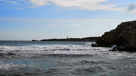
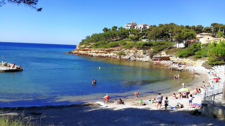
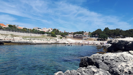
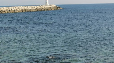
Châteauneuf-les-Martigues on the map, France
Where is located Châteauneuf-les-Martigues
Exact location — Châteauneuf-les-Martigues, Bouches-du-Rhone, Provence-Alpes-Côte d'Azur, France, marked on the map with a red marker.
Coordinates
Châteauneuf-les-Martigues, France coordinates in decimal format: latitude — 43.38296, longitude — 5.164636. When converted to degrees, minutes, seconds Châteauneuf-les-Martigues has the following coordinates: 43°22′58.66 north latitude and 5°9′52.69 east longitude.
Population
Châteauneuf-les-Martigues, Bouches-du-Rhone, Provence-Alpes-Côte d'Azur, France, according to our data the population is — 11,225 residents, which is about 0% of the total population of the country (France).
Comparison of the population on the graph:
Exact time
Time zone for this location Châteauneuf-les-Martigues — UTC +2 Europe/Paris. Exact time — wednesday, 5 may 2024 year, 12 h. 04 minutes.
Sunrise and sunset
Châteauneuf-les-Martigues, sunrise and sunset data for a date — wednesday 8.05.2024.
| Sunrise | Sunset | Day (duration) |
|---|---|---|
| 06:25 -1 minute | 20:45 +1 minute | 14 h. 18 minutes. +2 minutes |
You can control the scale of the map using the auxiliary tools to find out exactly where it is located Châteauneuf-les-Martigues. When you change the scale of the map, the width of the ruler also changes (in kilometers and miles).
Nearby cities
The largest cities that are located nearby:
- Marseille — 19 km
- Aix-en-Provence — 28 km
- Toulon — 68 km
- Nimes — 81 km
- Montpellier — 106 km
- Nice — 171 km
- Perpignan — 200 km
- Grenoble — 204 km
- Saint-Étienne — 235 km
- Lyon — 264 km
- Villeurbanne — 265 km
- Turin
 (Italy) — 271 km
 - Toulouse — 299 km
- Mataró
 (Spain) — 304 km
 - Clermont-Ferrand — 309 km
- Genoa (Italy) — 319 km
- Geneva
 (Switzerland) — 320 km
 - Badalona (Spain) — 323 km
- Sabadell (Spain) — 324 km
Distance to neighboring capitals:
- Andorra la Vella
 (Andorra) — 312 km
 - Bern (Switzerland) — 435 km
- Vaduz
 (Liechtenstein) — 539 km
 - Rome (Italy) — 622 km
- Madrid (Spain) — 804 km
- Brussels
 (Belgium) — 833 km
 - London
 (United Kingdom) — 987 km
 - Amsterdam
 (Netherlands) — 1000 km
 - Vienna
 (Austria) — 1020 km
 - Prague
 (Czech Republic) — 1025 km
 - Berlin
 (Germany) — 1186 km
 - Lisbon
 (Portugal) — 1305 km
 - Copenhagen
 (Denmark) — 1466 km
 - Warsaw
 (Poland) — 1534 km
 - Nicosia
 — 2579 km
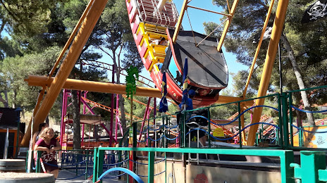
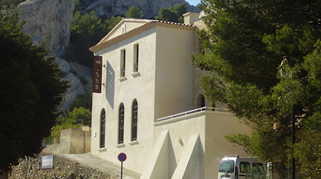
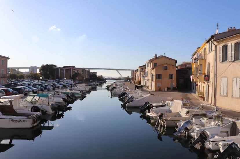
Attractions
Distance to the capital
Distance to the capital (Paris) is about — 646 km.