
 Fleury-Mérogis
Lurs
Pierre-Bénite
Puget-Rostang
Villemur-sur-Tarn
Rochefort-en-Terre
Viriville
Saint-Mandrier-sur-Mer
Neuville-en-Ferrain
L'Horme
Saint-Laurent-du-Plan
Saint-Mihiel
Égliseneuve-d'Entraigues
Banson
Saint-Gervais-d'Auvergne
Tassin-la-Demi-Lune
Saumane-de-Vaucluse
Alleins
Colombiers
Fleury-Mérogis
Lurs
Pierre-Bénite
Puget-Rostang
Villemur-sur-Tarn
Rochefort-en-Terre
Viriville
Saint-Mandrier-sur-Mer
Neuville-en-Ferrain
L'Horme
Saint-Laurent-du-Plan
Saint-Mihiel
Égliseneuve-d'Entraigues
Banson
Saint-Gervais-d'Auvergne
Tassin-la-Demi-Lune
Saumane-de-Vaucluse
Alleins
Colombiers
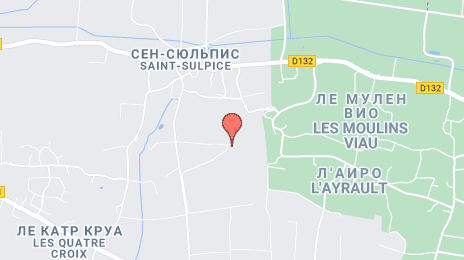
Les Ponts-de-Cé on the map, France
Where is located Les Ponts-de-Cé
Exact location — Les Ponts-de-Cé, Maine-et-Loire, Pays de la Loire, France, marked on the map with a red marker.
Coordinates
Les Ponts-de-Cé, France coordinates in decimal format: latitude — 47.424616, longitude — -0.524654. When converted to degrees, minutes, seconds Les Ponts-de-Cé has the following coordinates: 47°25′28.62 north latitude and -0°31′28.75 east longitude.
Population
Les Ponts-de-Cé, Maine-et-Loire, Pays de la Loire, France, according to our data the population is — 11,757 residents, which is about 0% of the total population of the country (France).
Comparison of the population on the graph:
Exact time
Time zone for this location Les Ponts-de-Cé — UTC +2 Europe/Paris. Exact time — wednesday, 5 may 2024 year, 17 h. 43 minutes.
Sunrise and sunset
Les Ponts-de-Cé, sunrise and sunset data for a date — wednesday 15.05.2024.
| Sunrise | Sunset | Day (duration) |
|---|---|---|
| 06:28 -1 minute | 21:28 +1 minute | 15 h. 0 minutes. +2 minutes |
You can control the scale of the map using the auxiliary tools to find out exactly where it is located Les Ponts-de-Cé. When you change the scale of the map, the width of the ruler also changes (in kilometers and miles).
Nearby cities
The largest cities that are located nearby:
- Angers — 7 km
- Nantes — 81 km
- Le Mans — 84 km
- Tours — 91 km
- Rennes — 114 km
- Orléans — 188 km
- Caen — 195 km
- Limoges — 223 km
- Le Havre — 233 km
- Rouen — 252 km
- Boulogne-Billancourt — 255 km
- Bordeaux — 286 km
- Brest — 310 km
- Clermont-Ferrand — 333 km
- Amiens — 339 km
- Eastbourne
 (United Kingdom) — 374 km
 - Bournemouth (United Kingdom) — 376 km
- Portsmouth (United Kingdom) — 377 km
- Reims — 386 km
Distance to neighboring capitals:
- London (United Kingdom) — 455 km
- Brussels
 (Belgium) — 520 km
 - Andorra la Vella
 (Andorra) — 570 km
 - Bern
 (Switzerland) — 604 km
 - Amsterdam
 (Netherlands) — 673 km
 - Vaduz
 (Liechtenstein) — 758 km
 - Madrid
 (Spain) — 820 km
 - Prague
 (Czech Republic) — 1134 km
 - Berlin
 (Germany) — 1144 km
 - Lisbon
 (Portugal) — 1193 km
 - Rome
 (Italy) — 1197 km
 - Vienna
 (Austria) — 1263 km
 - Copenhagen
 (Denmark) — 1285 km
 - Warsaw
 (Poland) — 1628 km
 - Nicosia
 — 3110 km
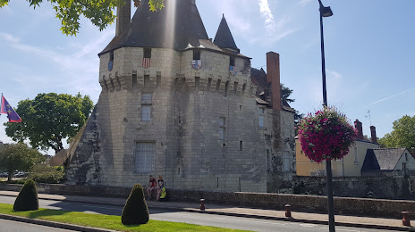
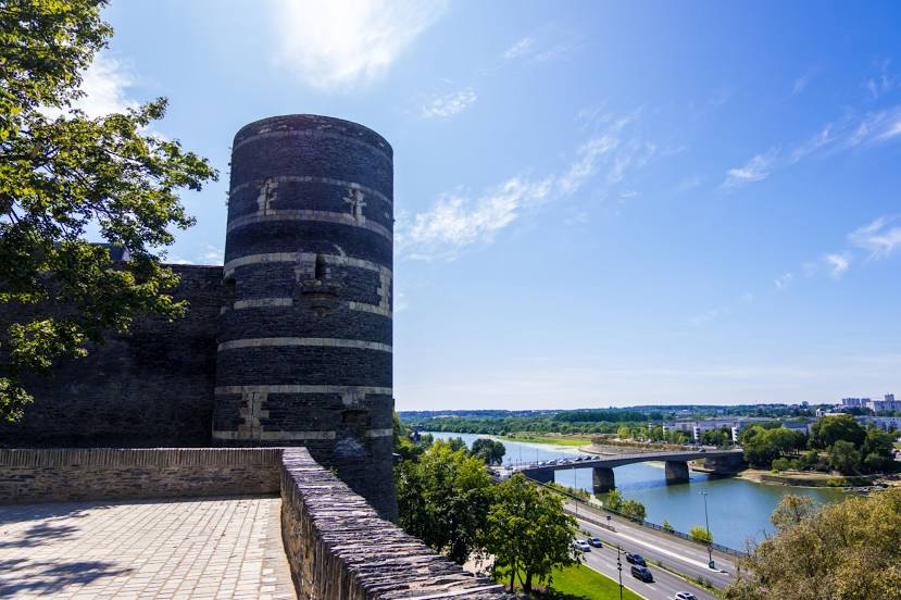
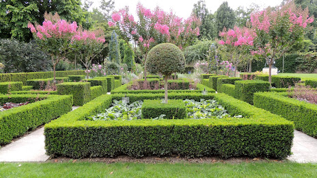
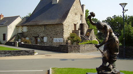
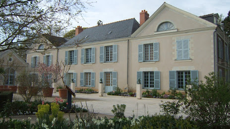
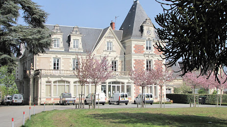
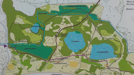
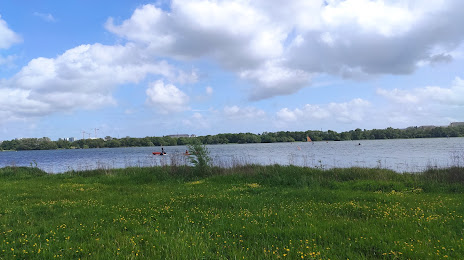
Attractions

Distance to the capital
Distance to the capital (Paris) is about — 266 km.