
 Fère-en-Tardenois
Marseillan
Saint-Antoine-de-Ficalba
Camarsac
Montreuil-Bellay
Bar-sur-Seine
Avensan
Mazan
Sainte-Anastasie
Gournay-en-Bray
Léoville
Neung-sur-Beuvron
Vieux-Port
Thégra
Rupt-sur-Moselle
Bretignolles-sur-Mer
Senones
Ergué-Gabéric
Villefranche-d'Allier
Fère-en-Tardenois
Marseillan
Saint-Antoine-de-Ficalba
Camarsac
Montreuil-Bellay
Bar-sur-Seine
Avensan
Mazan
Sainte-Anastasie
Gournay-en-Bray
Léoville
Neung-sur-Beuvron
Vieux-Port
Thégra
Rupt-sur-Moselle
Bretignolles-sur-Mer
Senones
Ergué-Gabéric
Villefranche-d'Allier
Saint-Cyr-l'École on the map, France
Where is located Saint-Cyr-l'École
Exact location — Saint-Cyr-l'École, Yvelines, Île-de-France, France, marked on the map with a red marker.
Coordinates
Saint-Cyr-l'École, France coordinates in decimal format: latitude — 48.806421, longitude — 2.0657. When converted to degrees, minutes, seconds Saint-Cyr-l'École has the following coordinates: 48°48′23.12 north latitude and 2°3′56.52 east longitude.
Population
Saint-Cyr-l'École, Yvelines, Île-de-France, France, according to our data the population is — 16,365 residents, which is about 0% of the total population of the country (France).
Comparison of the population on the graph:
Exact time
Time zone for this location Saint-Cyr-l'École — UTC +2 Europe/Paris. Exact time — saturday, 4 april 2024 year, 18 h. 33 minutes.
Sunrise and sunset
Saint-Cyr-l'École, sunrise and sunset data for a date — saturday 27.04.2024.
| Sunrise | Sunset | Day (duration) |
|---|---|---|
| 06:40 -2 minutes | 20:57 +1 minute | 14 h. 18 minutes. +3 minutes |
You can control the scale of the map using the auxiliary tools to find out exactly where it is located Saint-Cyr-l'École. When you change the scale of the map, the width of the ruler also changes (in kilometers and miles).
Nearby cities
The largest cities that are located nearby:
- Boulogne-Billancourt — 13 km
- Rouen — 99 km
- Orléans — 101 km
- Amiens — 121 km
- Reims — 150 km
- Le Havre — 160 km
- Le Mans — 164 km
- Caen — 181 km
- Tours — 187 km
- Lille — 213 km
- Charleroi
 (Belgium) — 244 km
 - Angers — 245 km
- Eastbourne
 (United Kingdom) — 250 km
 - Namur (Belgium) — 270 km
- Brussels (Belgium) — 277 km
- Dijon — 277 km
- Rennes — 287 km
- Crawley (United Kingdom) — 299 km
- Metz — 299 km
Distance to neighboring capitals:
- Brussels (Belgium) — 280 km
- London (United Kingdom) — 339 km
- Amsterdam
 (Netherlands) — 444 km
 - Bern
 (Switzerland) — 451 km
 - Vaduz
 (Liechtenstein) — 585 km
 - Andorra la Vella
 (Andorra) — 702 km
 - Berlin
 (Germany) — 898 km
 - Prague
 (Czech Republic) — 905 km
 - Madrid
 (Spain) — 1038 km
 - Copenhagen
 (Denmark) — 1044 km
 - Vienna
 (Austria) — 1055 km
 - Rome
 (Italy) — 1118 km
 - Warsaw
 (Poland) — 1388 km
 - Lisbon
 (Portugal) — 1435 km
 - Nicosia
 — 2969 km
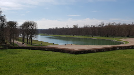
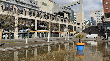
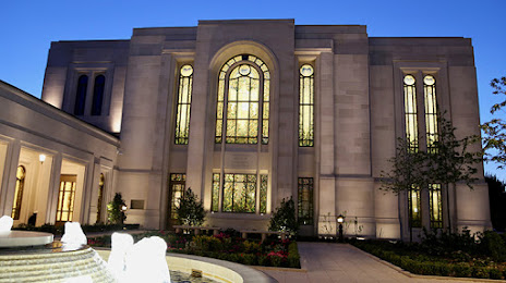
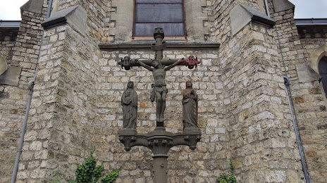
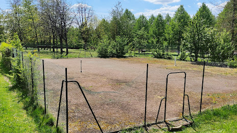
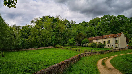
Attractions

Distance to the capital
Distance to the capital (Paris) is about — 22 km.