Saint-Aubin-du-Désert — Cras
Saint-Aubin-du-Désert — Pis
Saint-Aubin-du-Désert — Bouquet
Saint-Aubin-du-Désert — Champillon
Saint-Aubin-du-Désert — Le Tronquay
Saint-Aubin-du-Désert — Châteauneuf-sur-Charente
Saint-Aubin-du-Désert — Arpaillargues-et-Aureillac
Saint-Aubin-du-Désert — Fieulaine
Saint-Aubin-du-Désert — Talmay
Saint-Aubin-du-Désert — Roissy-en-France
Saint-Aubin-du-Désert — Saint-Marcan
Saint-Aubin-du-Désert — Varanges
Saint-Aubin-du-Désert — Campagne
Saint-Aubin-du-Désert — Fontevraud-l'Abbaye
Saint-Aubin-du-Désert — Lanmodez
Saint-Aubin-du-Désert — Chasteaux
Saint-Aubin-du-Désert — Cuges-les-Pins
Saint-Aubin-du-Désert — Fargues
Saint-Aubin-du-Désert — Krautergersheim
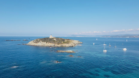
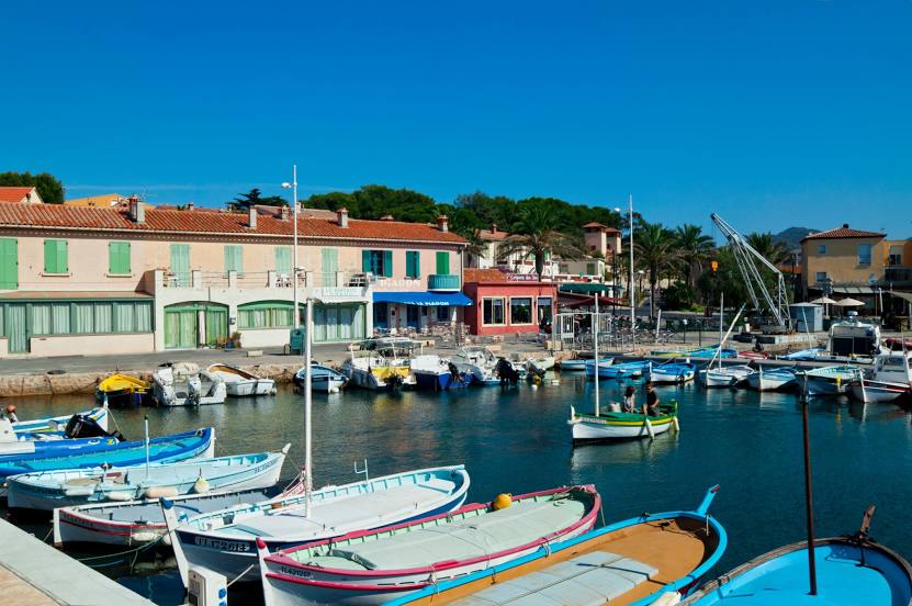
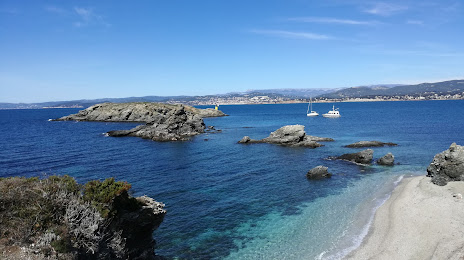
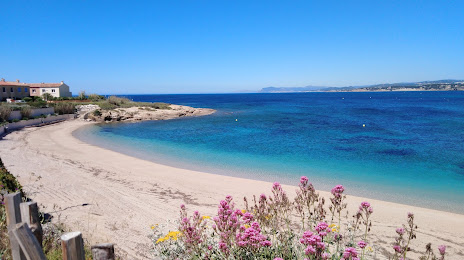
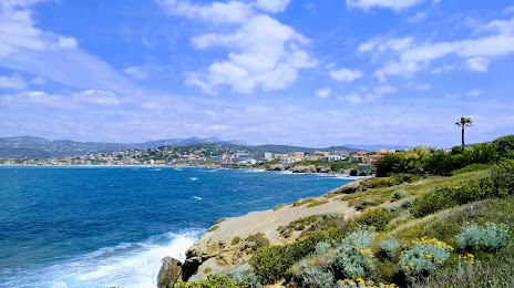
Saint-Aubin-du-Désert — Six-Fours-les-Plages distance, route on the map
Distance by car
Distance between Saint-Aubin-du-Désert, Pays de la Loire, France and Six-Fours-les-Plages, Provence-Alpes-Côte d'Azur, France by car is — km, or miles. To travel this distance by car, you need minute, or h.
Route on the map, driving directions
Car route Saint-Aubin-du-Désert — Six-Fours-les-Plages was created automatically. The road on the map is shown as a blue line. By moving the markers, you can create a new route through the points you need.
Distance by plane
If you decide to take a trip Saint-Aubin-du-Désert Six-Fours-les-Plages by plane, then you have to fly the distance — 745 km or 462 miles. It is marked on the map with a gray line (between two points in a straight line).
Flight time
Estimated flight time Saint-Aubin-du-Désert Six-Fours-les-Plages by plane at cruising speed 750 km / h will be — 59 min.
Direction of movement
France, Saint-Aubin-du-Désert — right-hand traffic. France, Six-Fours-les-Plages — right-hand traffic.
Difference in time
Saint-Aubin-du-Désert and Six-Fours-les-Plages are in the same time zone. Between them there is no time difference (UTC +2 Europe/Paris).
Interesting Facts
Information on alternative ways to get to your destination.
The length of this distance is about 1.9% of the total length of the equator.
The percentage of the population is clearly shown in the graph:
Saint-Aubin-du-Désert — 253 (less by 34,526), Six-Fours-les-Plages — 34,779 residents.
The cost of travel
Calculate the cost of the trip yourself using the fuel consumption calculator, changing the data in the table.