
 Xàbia
Las Palmas de Gran Canaria
Bermeo
Puertollano
Villabalter
Ciudad Real
Bilbao
Gelida
Mijas
Badalona
Sabadell
Madrid
Xàbia
Las Palmas de Gran Canaria
Bermeo
Puertollano
Villabalter
Ciudad Real
Bilbao
Gelida
Mijas
Badalona
Sabadell
Madrid
Palma on the map, Spain
Where is located Palma
Exact location — Palma, Balearic Islands, Balearic Islands, Spain, marked on the map with a red marker.
Coordinates
Palma, Spain coordinates in decimal format: latitude — 39.5696005, longitude — 2.6501603. When converted to degrees, minutes, seconds Palma has the following coordinates: 39°34′10.56 north latitude and 2°39′0.58 east longitude.
Population
Palma, Balearic Islands, Balearic Islands, Spain, according to our data the population is — 378,884 residents, which is about 0.8% of the total population of the country (Spain).
Comparison of the population on the graph:
Exact time
Time zone for this location Palma — UTC +2 Europe/Madrid. Exact time — monday, 4 april 2024 year, 11 h. 40 minutes.
Sunrise and sunset
Palma, sunrise and sunset data for a date — monday 29.04.2024.
| Sunrise | Sunset | Day (duration) |
|---|---|---|
| 06:55 -1 minute | 20:38 +1 minute | 13 h. 42 minutes. +2 minutes |
You can control the scale of the map using the auxiliary tools to find out exactly where it is located Palma. When you change the scale of the map, the width of the ruler also changes (in kilometers and miles).
Nearby cities
The largest cities that are located nearby:
- L'Hospitalet de Llobregat — 204 km
- Tarragona — 207 km
- Badalona — 210 km
- Santa Coloma de Gramenet — 210 km
- Mataró — 218 km
- Sabadell — 223 km
- Terrassa — 227 km
- Valencia — 259 km
- Lleida — 282 km
- Sidi M'Hamed
 (Algeria) — 313 km
 - Perpignan
 (France) — 345 km
 - Médéa (Algeria) — 365 km
- Zaragoza — 372 km
- Murcia — 373 km
- Bejaia (Algeria) — 378 km
- Cartagena — 385 km
- Albacete — 393 km
- Chlef (Algeria) — 394 km
- Bou Arreridj Bordj (Algeria) — 430 km
Distance to neighboring capitals:
- Andorra la Vella
 (Andorra) — 340 km
 - Lisbon
 (Portugal) — 1021 km
 - Paris (France) — 1033 km
- Paris (France) — 1033 km
- Rabat
 (Morocco) — 1050 km
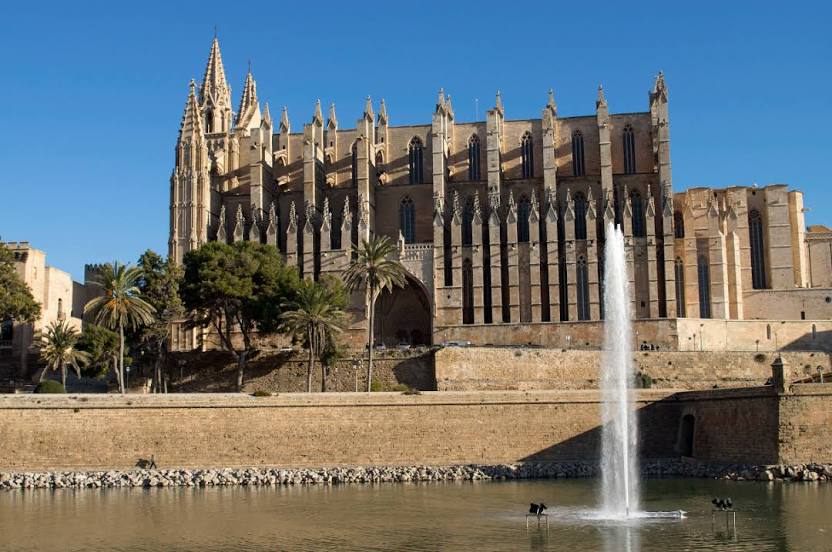
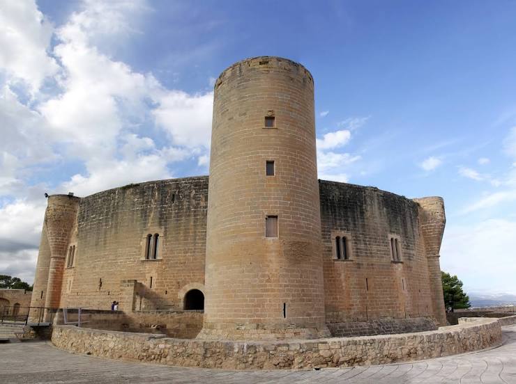
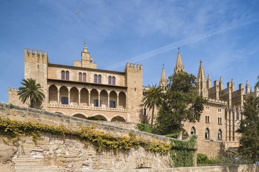
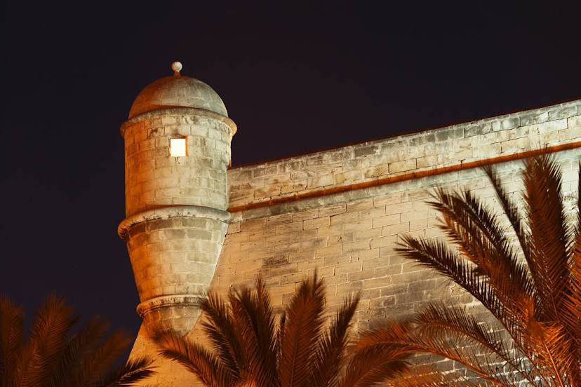
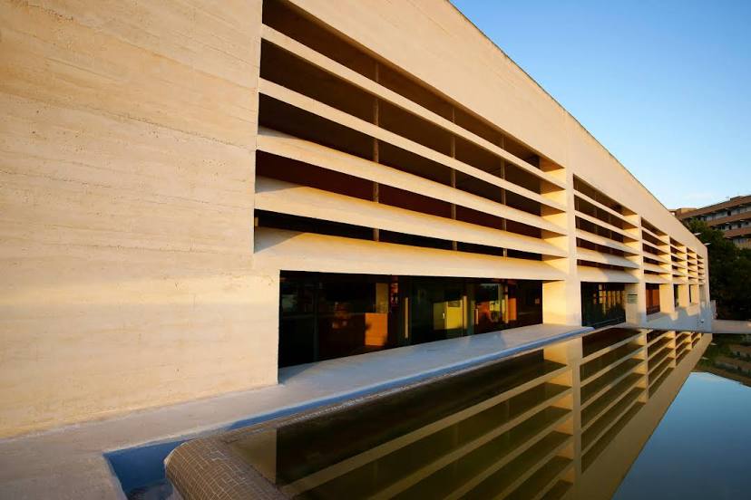
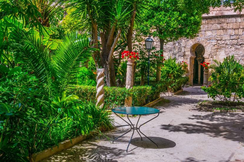
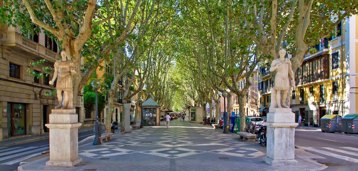
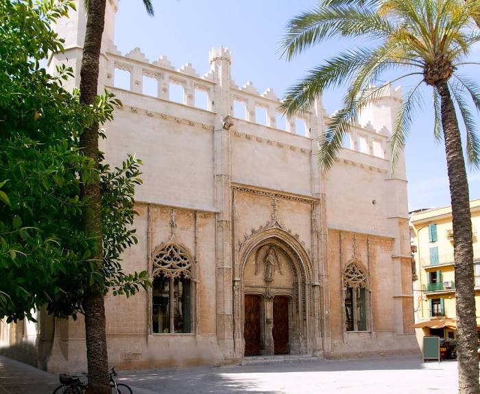
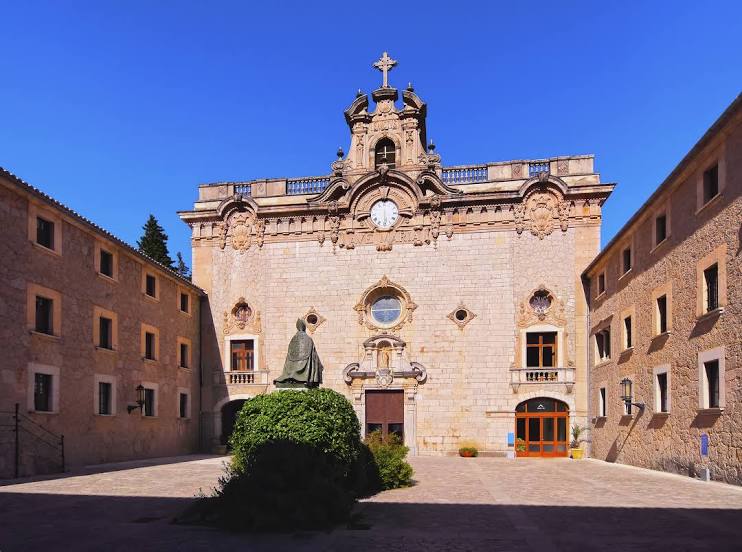
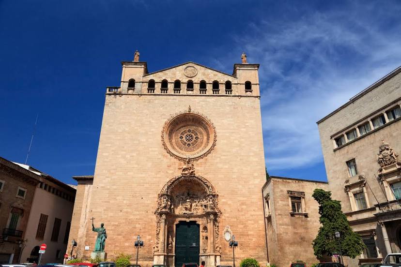
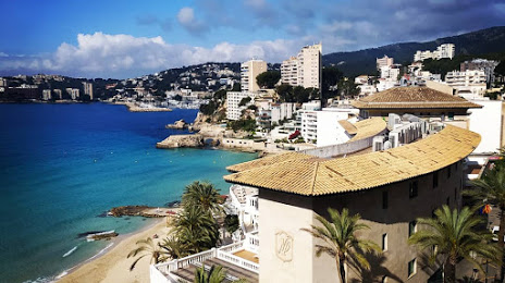
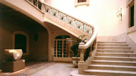
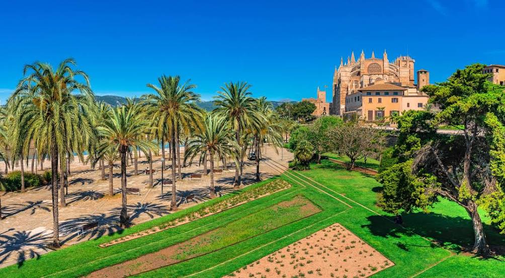
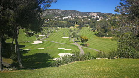
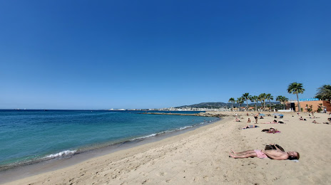
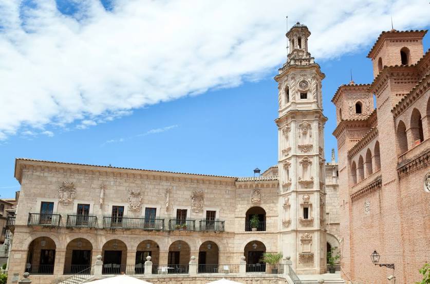
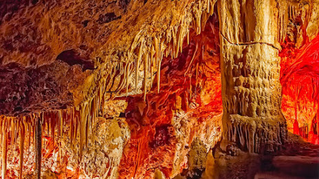
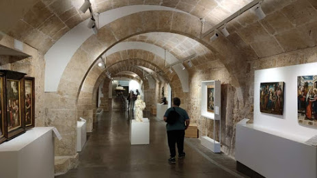
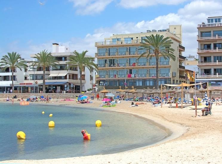
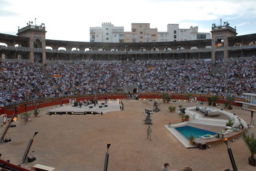
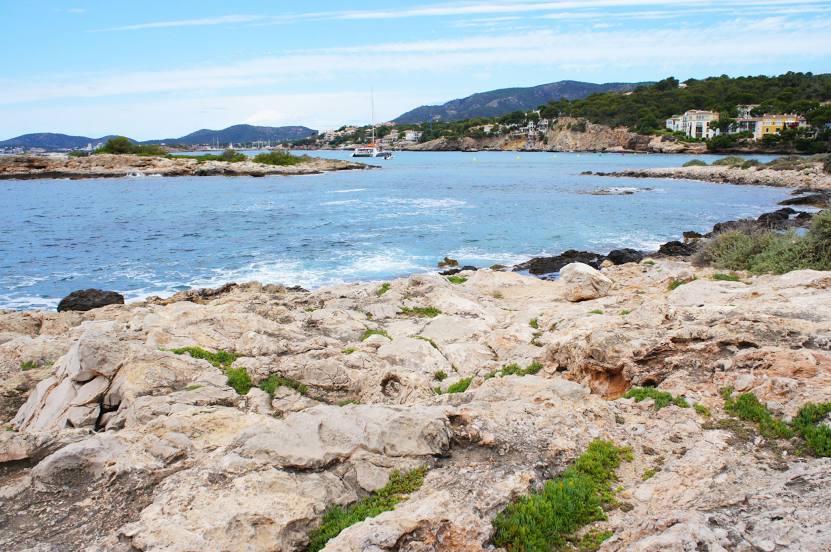
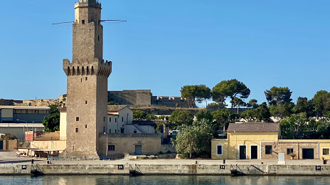
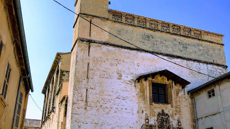
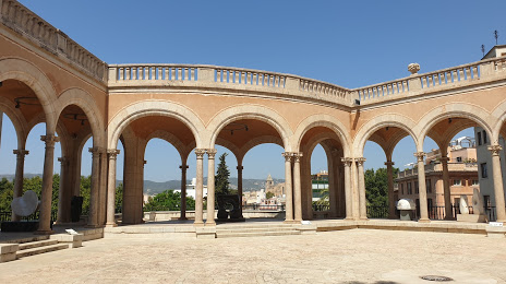
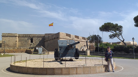
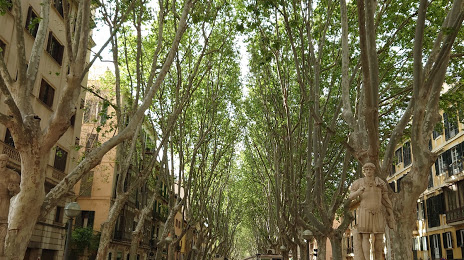
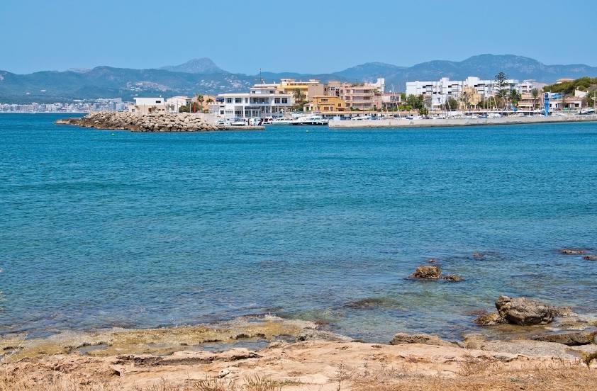
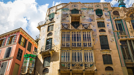
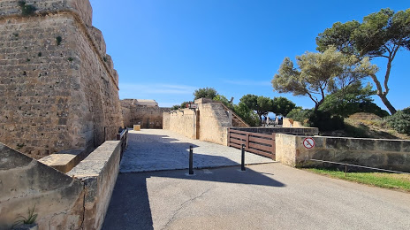
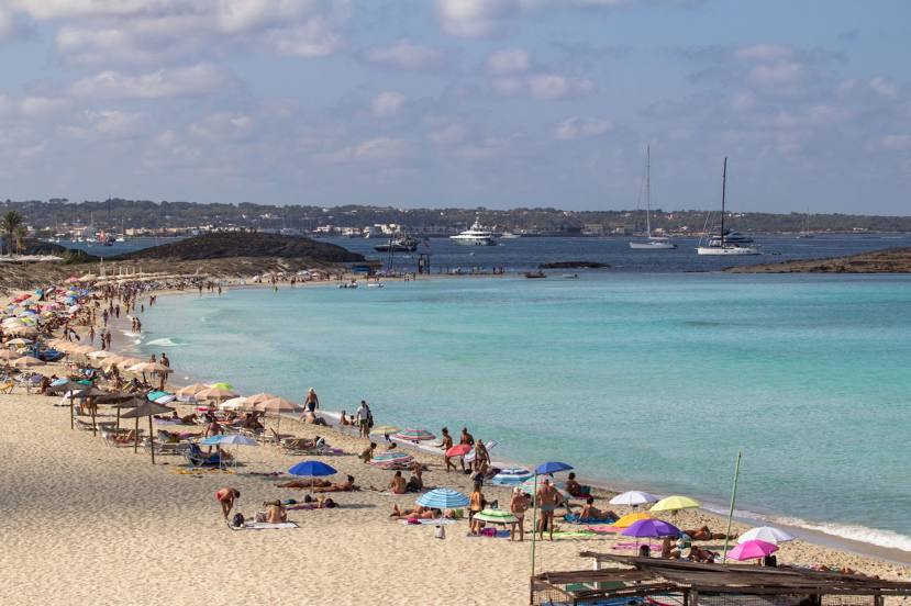
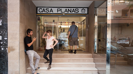
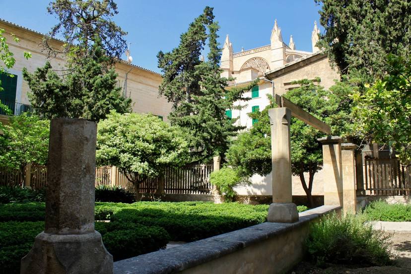
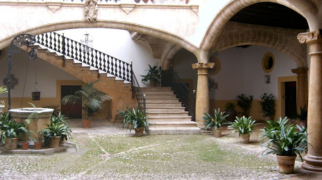
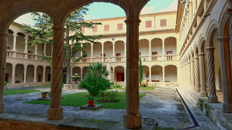
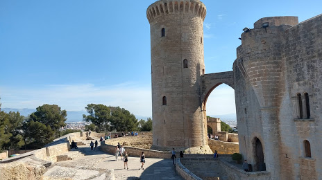
Attractions


Distance to the capital
Distance to the capital (Madrid) is about — 549 km.