Pelotas — Pancas
Pelotas — Nova Venécia
Pelotas — São João do Itaperiú
Pelotas — Divino
Pelotas — Ibirarema
Pelotas — Manaus
Pelotas — Dom Pedrito
Pelotas — Jaguapitã
Pelotas — Pau d'Óleo
Pelotas — Catas Altas
Pelotas — Virmond
Pelotas — Correntina
Pelotas — Valentim Gentil
Pelotas — Areial
Pelotas — São José de Mipibu
Pelotas — Vitória da Conquista
Pelotas — Palmital
Pelotas — Coroaci
Pelotas — Paranaguá
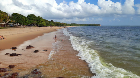
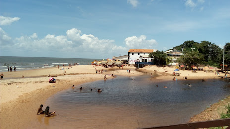
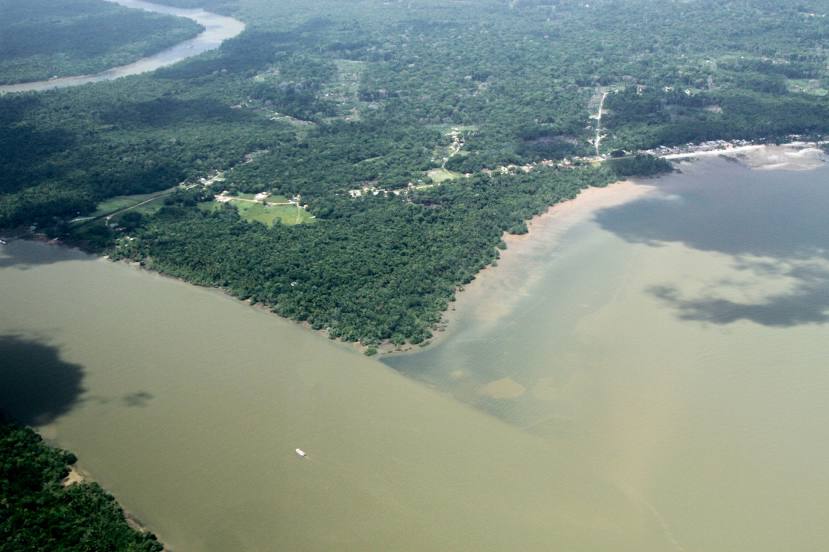
Pelotas — Salvaterra distance, route on the map
Distance by car
Distance between Pelotas, Rio Grande do Sul, Brazil and Salvaterra, Pará, Brazil by car is — km, or miles. To travel this distance by car, you need minute, or h.
Route on the map, driving directions
Car route Pelotas — Salvaterra was created automatically. The road on the map is shown as a blue line. By moving the markers, you can create a new route through the points you need.
Distance by plane
If you decide to take a trip Pelotas Salvaterra by plane, then you have to fly the distance — 3472 km or 2153 miles. It is marked on the map with a gray line (between two points in a straight line).
Flight time
Estimated flight time Pelotas Salvaterra by plane at cruising speed 750 km / h will be — 4 h. and 37 min.
Direction of movement
Brazil, Pelotas — right-hand traffic. Brazil, Salvaterra — right-hand traffic.
Difference in time
Pelotas and Salvaterra are in the same time zone. Between them there is no time difference (UTC -3 America/Sao_Paulo).
Interesting Facts
Information on alternative ways to get to your destination.
The length of this distance is about 8.7% of the total length of the equator.
The percentage of the population is clearly shown in the graph:
Pelotas — 320,674, Salvaterra — 13,615 residents (less by 307,059).
The cost of travel
Calculate the cost of the trip yourself using the fuel consumption calculator, changing the data in the table.