Maze Mexico — Zináparo
Maze Mexico — Topia
Maze Mexico — Frontera Corozal
Maze Mexico — Huimanguillo
Maze Mexico — Puebla
Maze Mexico — Feliciano
Maze Mexico — Ciudad Guzmán
Maze Mexico — Chiapa de Corzo
Maze Mexico — Tulum
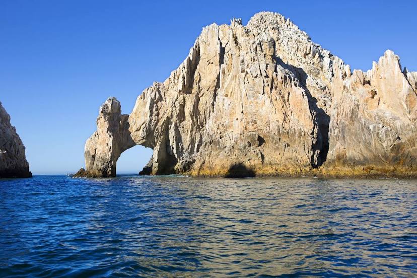
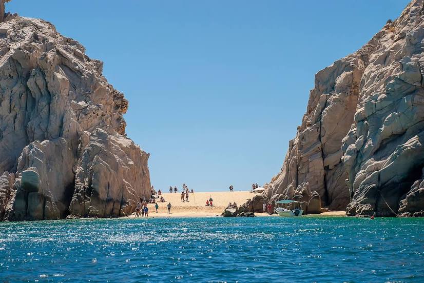
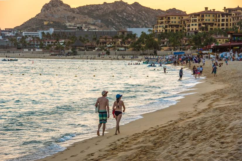
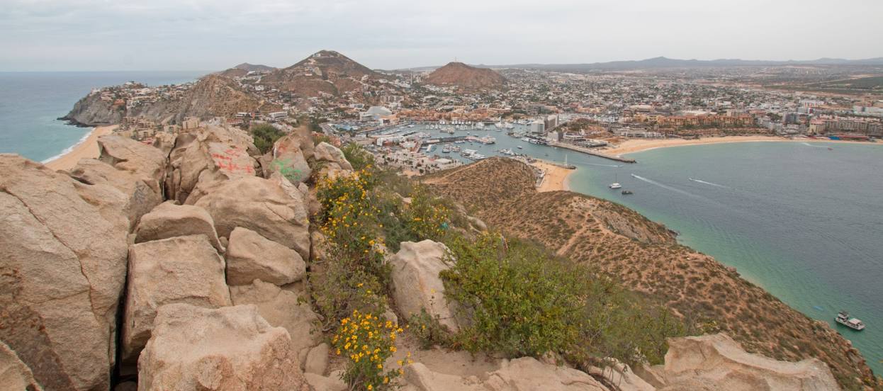
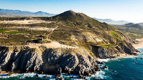
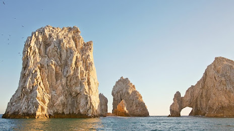
Maze Mexico — Cabo San Lucas
Maze Mexico — Tepache
Maze Mexico — Magdalena Tlacotepec
Maze Mexico — Santa María Ecatepec
Maze Mexico — El Carmen
Maze Mexico — San Pedro Tapanatepec
Maze Mexico — Arroyo Seco
Maze Mexico — Redondo
Maze Mexico — San Juan Bautista
Maze Mexico — Merida
Maze Mexico — Zináparo
Maze Mexico — Topia
Maze Mexico — Frontera Corozal
Maze Mexico — Huimanguillo
Maze Mexico — Puebla
Maze Mexico — Feliciano
Maze Mexico — Ciudad Guzmán
Maze Mexico — Chiapa de Corzo
Maze Mexico — Tulum
Maze Mexico — Cabo San Lucas
Maze Mexico — Tepache
Maze Mexico — Magdalena Tlacotepec
Maze Mexico — Santa María Ecatepec
Maze Mexico — El Carmen
Maze Mexico — San Pedro Tapanatepec
Maze Mexico — Arroyo Seco
Maze Mexico — Redondo
Maze Mexico — San Juan Bautista
Maze Mexico — Merida
Maze Mexico — Cabo San Lucas distance, route on the map
Distance by car
Distance between Maze Mexico, Mexico and Cabo San Lucas, Baja California Sur, Mexico by car is — km, or miles. To travel this distance by car, you need minute, or h.
Route on the map, driving directions
Car route Maze Mexico — Cabo San Lucas was created automatically. The road on the map is shown as a blue line. By moving the markers, you can create a new route through the points you need.
Distance by plane
If you decide to take a trip Maze Mexico Cabo San Lucas by plane, then you have to fly the distance — 757 km or 469 miles. It is marked on the map with a gray line (between two points in a straight line).
Flight time
Estimated flight time Maze Mexico Cabo San Lucas by plane at cruising speed 750 km / h will be — 1 h.
Direction of movement
Mexico, Maze Mexico — right-hand traffic. Mexico, Cabo San Lucas — right-hand traffic.
Difference in time
Maze Mexico and Cabo San Lucas are in different time zones. The time difference is 1 hour (UTC -6 America/Mexico_City, UTC -7 America/Mazatlan).
Interesting Facts
Information on alternative ways to get to your destination.
The length of this distance is about 1.9% of the total length of the equator.
The cost of travel
Calculate the cost of the trip yourself using the fuel consumption calculator, changing the data in the table.