
 Mieszkowice
Krzepice
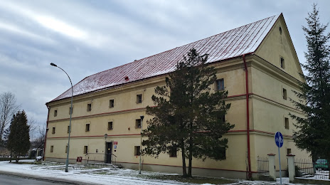
Twardogora
Słupno
Wyszogród
Konstantynów Łódzki
Glowno
Namysłów
Stolno
Bielawa
Słomniki
Zwierzyniec
Stawiszyn
Walcz
Dobroszyce
Siechnice
Gorzyce
Wojkowice
Deblin
Mieszkowice
Krzepice
Twardogora
Słupno
Wyszogród
Konstantynów Łódzki
Glowno
Namysłów
Stolno
Bielawa
Słomniki
Zwierzyniec
Stawiszyn
Walcz
Dobroszyce
Siechnice
Gorzyce
Wojkowice
Deblin
Lubaczow on the map, Poland
Where is located Lubaczow
Exact location — Lubaczow, Lubaczów County, Podkarpackie Voivodeship, Poland, marked on the map with a red marker.
Coordinates
Lubaczow, Poland coordinates in decimal format: latitude — 50.15621, longitude — 23.12379. When converted to degrees, minutes, seconds Lubaczow has the following coordinates: 50°9′22.36 north latitude and 23°7′25.64 east longitude.
Population
Lubaczow, Lubaczów County, Podkarpackie Voivodeship, Poland, according to our data the population is — 12,595 residents, which is about 0% of the total population of the country (Poland).
Comparison of the population on the graph:
Exact time
Time zone for this location Lubaczow — UTC +2 Europe/Warsaw. Exact time — tuesday, 5 may 2024 year, 22 h. 37 minutes.
Sunrise and sunset
Lubaczow, sunrise and sunset data for a date — tuesday 7.05.2024.
| Sunrise | Sunset | Day (duration) |
|---|---|---|
| 04:56 -1 minute | 19:51 +1 minute | 14 h. 54 minutes. +2 minutes |
You can control the scale of the map using the auxiliary tools to find out exactly where it is located Lubaczow. When you change the scale of the map, the width of the ruler also changes (in kilometers and miles).
Nearby cities
The largest cities that are located nearby:
- Rzeszow — 81 km
- Lublin — 127 km
- Tarnow — 153 km
- Uzhhorod
 (Ukraine) — 180 km
 - Kielce — 191 km
- Radom — 194 km
- Košice
 (Slovakia) — 209 km
 - Brest
 (Belarus) — 219 km
 - Rivne (Ukraine) — 225 km
- Kraków — 226 km
- Satu Mare
 (Romania) — 262 km
 - Nyíregyháza
 (Hungary) — 265 km
 - Baia Mare (Romania) — 277 km
- Dabrowa Gornicza — 278 km
- Sosnowiec — 284 km
- Miskolc (Hungary) — 287 km
- Częstochowa — 289 km
- Katowice — 290 km
- Chernivtsi (Ukraine) — 292 km
Distance to neighboring capitals:
- Budapest (Hungary) — 420 km
- Bratislava (Slovakia) — 491 km
- Minsk (Belarus) — 516 km
- Vilnius
 (Lithuania) — 525 km
 - Kyiv (Ukraine) — 526 km
- Vienna
 (Austria) — 536 km
 - Prague
 (Czech Republic) — 619 km
 - Belgrade
 (Serbia) — 630 km
 - Bucharest (Romania) — 676 km
- Berlin
 (Germany) — 724 km
 - Rīga
 (Latvia) — 758 km
 - Copenhagen
 (Denmark) — 935 km
 - Helsinki
 (Finland) — 1120 km
 - Moscow
 (Russia) — 1150 km
 - Bern
 (Switzerland) — 1206 km
 - Amsterdam
 (Netherlands) — 1289 km
 - Paris
 (France) — 1502 km
 - Tbilisi
 (Georgia) — 1910 km
Attractions
Distance to the capital
Distance to the capital (Warsaw) is about — 274 km.