
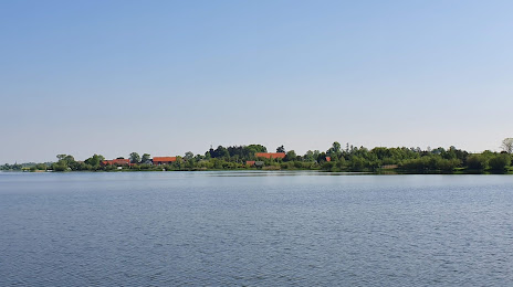
 Długołęka
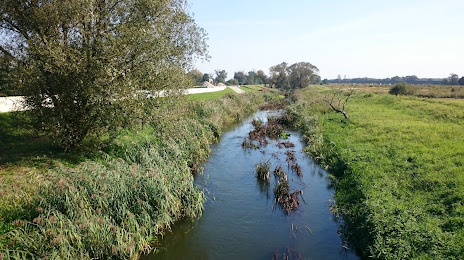
Piaski
Chełmek
Szamocin
Strzegom
Witnica
Krokowa
Pruszcz
Świerklany
Zbąszyń
Tomaszow Lubelski
Żarnowiec
Krapkowice
Złoty Stok
Michałowice
Moszczenica
Gniew
Lubaczow
Koluszki
Długołęka
Piaski
Chełmek
Szamocin
Strzegom
Witnica
Krokowa
Pruszcz
Świerklany
Zbąszyń
Tomaszow Lubelski
Żarnowiec
Krapkowice
Złoty Stok
Michałowice
Moszczenica
Gniew
Lubaczow
Koluszki
Namysłów on the map, Poland
Where is located Namysłów
Exact location — Namysłów, Namysłów County, Opole Voivodeship, Poland, marked on the map with a red marker.
Coordinates
Namysłów, Poland coordinates in decimal format: latitude — 51.07588, longitude — 17.72244. When converted to degrees, minutes, seconds Namysłów has the following coordinates: 51°4′33.17 north latitude and 17°43′20.78 east longitude.
Population
Namysłów, Namysłów County, Opole Voivodeship, Poland, according to our data the population is — 16,376 residents, which is about 0% of the total population of the country (Poland).
Comparison of the population on the graph:
Exact time
Time zone for this location Namysłów — UTC +2 Europe/Warsaw. Exact time — wednesday, 5 may 2024 year, 01 h. 05 minutes.
Sunrise and sunset
Namysłów, sunrise and sunset data for a date — wednesday 1.05.2024.
| Sunrise | Sunset | Day (duration) |
|---|---|---|
| 05:25 -1 minute | 20:07 +2 minutes | 14 h. 42 minutes. +3 minutes |
You can control the scale of the map using the auxiliary tools to find out exactly where it is located Namysłów. When you change the scale of the map, the width of the ruler also changes (in kilometers and miles).
Nearby cities
The largest cities that are located nearby:
- Opole — 46 km
- Wrocław — 48 km
- Kalisz — 80 km
- Częstochowa — 102 km
- Walbrzych — 106 km
- Gliwice — 109 km
- Legnica — 110 km
- Zabrze — 112 km
- Bytom — 116 km
- Ruda Slaska — 121 km
- Chorzow — 122 km
- Rybnik — 122 km
- Katowice — 128 km
- Sosnowiec — 131 km
- Dabrowa Gornicza — 133 km
- Łódź — 141 km
- Ostrava
 (Czech Republic) — 144 km
 - Poznań — 157 km
- Olomouc (Czech Republic) — 167 km
Distance to neighboring capitals:
- Prague (Czech Republic) — 257 km
- Bratislava
 (Slovakia) — 329 km
 - Vienna
 (Austria) — 333 km
 - Berlin
 (Germany) — 338 km
 - Budapest
 (Hungary) — 409 km
 - Copenhagen
 (Denmark) — 615 km
 - Vilnius
 (Lithuania) — 646 km
 - Belgrade
 (Serbia) — 728 km
 - Minsk
 (Belarus) — 736 km
 - Rīga
 (Latvia) — 774 km
 - Bern
 (Switzerland) — 878 km
 - Amsterdam
 (Netherlands) — 894 km
 - Kyiv
 (Ukraine) — 902 km
 - Bucharest
 (Romania) — 968 km
 - Helsinki
 (Finland) — 1107 km
 - Paris
 (France) — 1125 km
 - Moscow
 (Russia) — 1412 km
 - Tbilisi
 (Georgia) — 2304 km
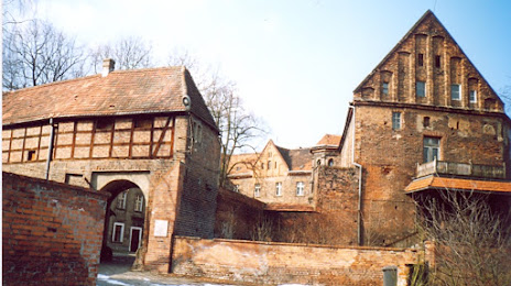
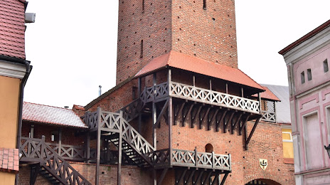
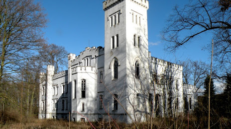
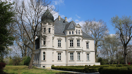
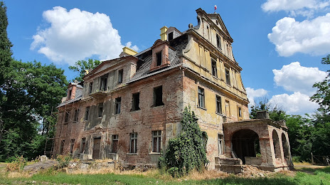
Attractions
Distance to the capital
Distance to the capital (Warsaw) is about — 261 km.