
 Wisznice
Szczekociny
Krajenka
Tuczno
Maków Podhalański
Lwowek Slaski
Puszczykowo
Białe Błota
Poddębice
Klukowo
Drohiczyn
Rokietnica
Slawno
Stolno
Namysłów
Glowno
Konstantynów Łódzki
Wyszogród
Słupno
Wisznice
Szczekociny
Krajenka
Tuczno
Maków Podhalański
Lwowek Slaski
Puszczykowo
Białe Błota
Poddębice
Klukowo
Drohiczyn
Rokietnica
Slawno
Stolno
Namysłów
Glowno
Konstantynów Łódzki
Wyszogród
Słupno
Strzegom on the map, Poland
Where is located Strzegom
Exact location — Strzegom, Świdnica County, Lower Silesian Voivodeship, Poland, marked on the map with a red marker.
Coordinates
Strzegom, Poland coordinates in decimal format: latitude — 50.9604662, longitude — 16.3510375. When converted to degrees, minutes, seconds Strzegom has the following coordinates: 50°57′37.68 north latitude and 16°21′3.73 east longitude.
Population
Strzegom, Świdnica County, Lower Silesian Voivodeship, Poland, according to our data the population is — 17,004 residents, which is about 0% of the total population of the country (Poland).
Comparison of the population on the graph:
Exact time
Time zone for this location Strzegom — UTC +2 Europe/Warsaw. Exact time — tuesday, 4 april 2024 year, 09 h. 28 minutes.
Sunrise and sunset
Strzegom, sunrise and sunset data for a date — tuesday 30.04.2024.
| Sunrise | Sunset | Day (duration) |
|---|---|---|
| 05:32 -2 minutes | 20:10 +1 minute | 14 h. 36 minutes. +3 minutes |
You can control the scale of the map using the auxiliary tools to find out exactly where it is located Strzegom. When you change the scale of the map, the width of the ruler also changes (in kilometers and miles).
Nearby cities
The largest cities that are located nearby:
- Walbrzych — 20 km
- Legnica — 30 km
- Wrocław — 50 km
- Opole — 114 km
- Zielona Gora — 122 km
- Kalisz — 148 km
- Cottbus
 (Germany) — 164 km
 - Olomouc
 (Czech Republic) — 164 km
 - Poznań — 164 km
- Prague (Czech Republic) — 167 km
- Gliwice — 180 km
- Dresden (Germany) — 182 km
- Rybnik — 182 km
- Ostrava (Czech Republic) — 186 km
- Zabrze — 186 km
- Bytom — 193 km
- Ruda Slaska — 193 km
- Częstochowa — 194 km
- Brno (Czech Republic) — 196 km
Distance to neighboring capitals:
- Prague (Czech Republic) — 167 km
- Berlin (Germany) — 267 km
- Vienna
 (Austria) — 306 km
 - Bratislava
 (Slovakia) — 318 km
 - Budapest
 (Hungary) — 432 km
 - Copenhagen
 (Denmark) — 581 km
 - Vilnius
 (Lithuania) — 728 km
 - Belgrade
 (Serbia) — 751 km
 - Bern
 (Switzerland) — 788 km
 - Amsterdam
 (Netherlands) — 805 km
 - Minsk
 (Belarus) — 827 km
 - Rīga
 (Latvia) — 836 km
 - Kyiv
 (Ukraine) — 998 km
 - Paris
 (France) — 1028 km
 - Bucharest
 (Romania) — 1028 km
 - Helsinki
 (Finland) — 1156 km
 - Moscow
 (Russia) — 1502 km
 - Tbilisi
 (Georgia) — 2393 km
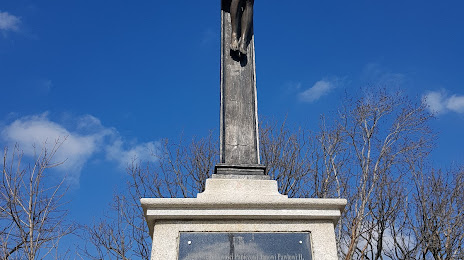
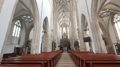
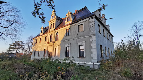
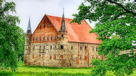
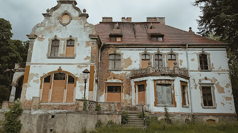
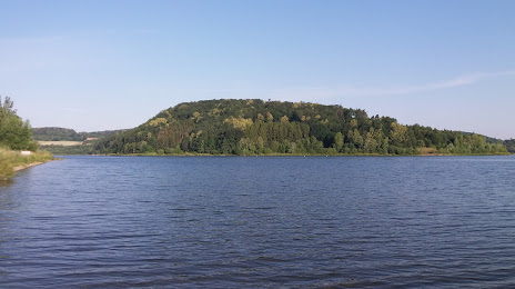
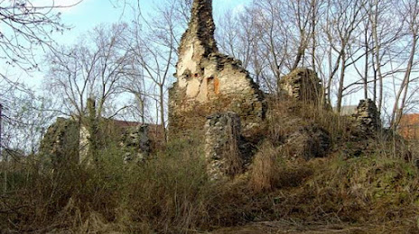
Attractions

Distance to the capital
Distance to the capital (Warsaw) is about — 352 km.